Chest opened
+${chestReward.xp} XP
Explorer
NOUVEAU ×${chestReward.collectible.quantity}
tapez pour fermer
Chest locked

Open chests in the app

Around Us is built for your phone — chests unlock when you walk, explore and capture nearby places.

Enable Location

We need your location to show you interesting places around you

Discover nearby places

Find interesting locations and hidden gems around you

Precise directions

Get accurate directions and distances to places

Your location is never shared with other users. It's only used when you tap the location button.

Dursley

Log in to your account

Start exploring — it's free

Trusted by 72,888 travelers worldwide

Continue with Google
Continue with Apple
or

We will send you a code to connect

By continuing, you accept our Terms and Conditions and our Privacy Policy

Check your inbox

We've sent a pincode in your inbox. Please enter the code below.

Discussion Reviews 1 Photos
24.1k Popularity

Dursley, Market town in Stroud District, England

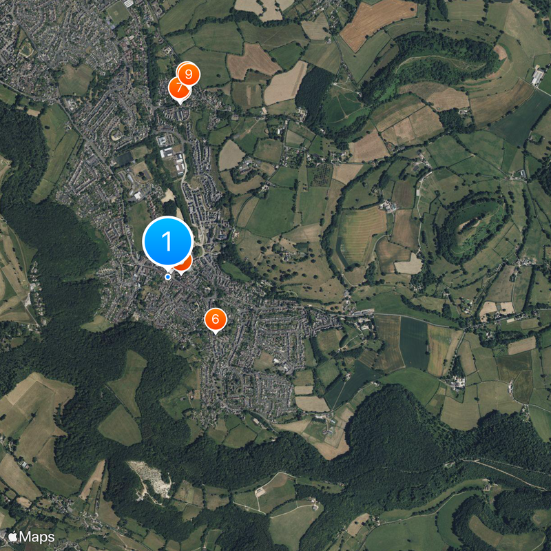
Dursley is a market town in Stroud District, Gloucestershire, positioned between Bristol and Gloucester near Stinchcombe Hill. The town center features several supermarkets, independent retailers, a monthly farmers market, and a railway station serving regional connections.

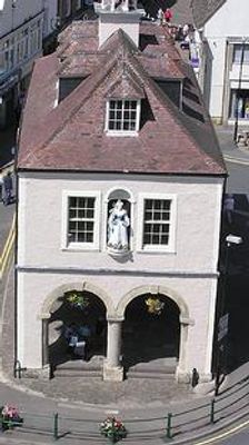
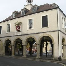
The town gained market status in 1471 and retained this designation until 1886. The arrival of significant manufacturing operations in the 1800s transformed the local economy and shaped its industrial character for generations.

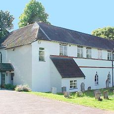
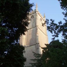
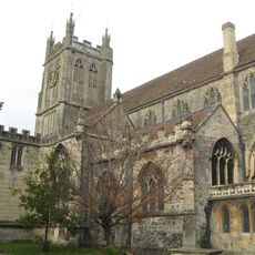
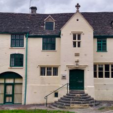
The parish church of St. James the Great has anchored the town center for generations with its prominent bell tower. Locals and visitors alike recognize it as the heart of the community, where regular services and events still take place today.

The town is compact and easy to navigate on foot, with the railway station serving as a convenient arrival point. Essential services and shopping are concentrated in the town center and within walking distance from the station.

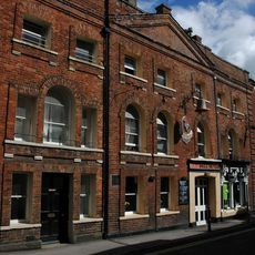
A machinery manufacturing company operated here for nearly 150 years and was the economic backbone of the town. The factory employed generations of local residents and left a deep imprint on the community's identity and daily life.

The community of curious travelers

AroundUs brings together thousands of curated places, local tips, and hidden gems, enriched daily by 60,000 contributors worldwide.

Start exploring
Location
GPS coordinates
51.68110,-2.35430
Latest update
December 20, 2025 13:09
Around this place
Town Hall
United Kingdom

Town Hall

38 m
Congregational Chapel
United Kingdom

Congregational Chapel

1.1 km
Parish Church of St George
United Kingdom

Parish Church of St George

1.3 km
Church of St James
United Kingdom

Church of St James

94 m
Church of St Mark
United Kingdom

Church of St Mark

479 m
United Kingdom

William Harding Memorial Circa 5 Metres North Of Main Doors To Congregational Chapel

1.2 km
Methodist Church
United Kingdom

Methodist Church

94 m
United Kingdom

Saul Champion Memorial, C 11 Metres East Of South Porch Of Parish Church Of St George

1.2 km
United Kingdom

Elizabeth Collens Memorial Circa 2 1/2 Metres North Of Central Bay Of Chancel Of Parish Church Of St George

1.3 km
United Kingdom

Unidentified Memorial Circa 2 Metres East Of North East Corner Of North Aisle Of Parish Church Of St George

1.3 km
Bank House  Old Bell Hotel
United Kingdom

Bank House Old Bell Hotel

87 m
United Kingdom

Woodmancote Cottage

414 m
United Kingdom

Bell Court And Attached Stable Block

1.2 km
United Kingdom

Manor End Woodmancote Manor

576 m
11, Woodmancote
United Kingdom

11, Woodmancote

334 m
United Kingdom

Woodmancote Farmhouse

849 m
United Kingdom

Church Cottage

1.2 km
United Kingdom

Ferney Hill

647 m
United Kingdom

Round House

2.2 km
United Kingdom

3, Kingshill Lane

907 m
The Priory
United Kingdom

The Priory

336 m
United Kingdom

Beechwood House

1.4 km
United Kingdom

Unidentified Chest Tomb Circa 6 Metres North Of North Aisle Wall, To Parish Church Of St George

1.3 km
United Kingdom

Unidentified Chest Tomb, Circa 10 Metres South East Of South Porch To Parish Church Of St George

1.2 km
United Kingdom

Gates, Gate Piers, And Walling In Approach To Parish Church Of St George

1.2 km
United Kingdom

Rowden Wood long barrow

2.5 km
United Kingdom

Folly Wood long barrow

2.1 km
Raglan House
United Kingdom

Raglan House

238 m
Show the full map
Reviews
Share your experience

No review yet

Discussions
Start a discussion...

No discussion yet

« Dursley - Market town in Stroud District, England » is provided by Around Us (aroundus.com). Images and texts are derived from Wikimedia project under a Creative Commons license. You are allowed to copy, distribute, and modify copies of this page, under the conditions set by the license, as long as this note is clearly visible.

Discover hidden gems everywhere you go!

From secret cafés to breathtaking viewpoints, skip the crowded tourist spots and find places that match your style. Our app makes it easy with voice search, smart filtering, route optimization, and insider tips from travelers worldwide. Download now for the complete mobile experience.

Around Us App Screenshot

A unique approach to discovering new places

Le Figaro

All the places worth exploring

France Info

A tailor-made excursion in just a few clicks

20 Minutes

Around Us
Travel Guide & Maps
Download

Send to your phone

QR Code
1

Open the camera app on your mobile.

2

Point at the QR code with your camera. A notification will appear.

3

Tap the notification to open the link.