Durnovaria, Archaeological site in Dorchester, England
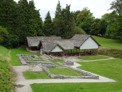
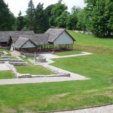
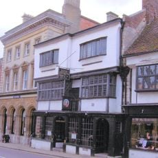
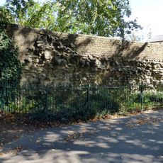
Durnovaria is a Roman settlement in Dorchester with visible segments of ancient walls, house foundations, and a clear street grid from classical times. The remains show the typical layout of a Roman town with both public and residential buildings, uncovered through excavations scattered across the modern town center.
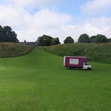
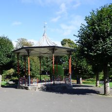
The settlement developed around 70 AD following the departure of Roman legions and became a major center for the Durotriges tribe in southern Britain. The site held meaning for earlier peoples too, as shown by the conversion of a Neolithic ceremonial monument into a Roman amphitheater, reflecting how different cultures reused the location.
The town center follows the original Roman street grid, which remains visible in today's layout of modern roads. Walking through the town, you can trace these ancient pathways and see how this plan still shapes how people move through the place.
The remains are scattered across town and can be explored on foot without admission fees. Plan to spend time visiting different locations and check out the museum, which brings together finds and explanations in one convenient place.
A Neolithic ceremonial henge was converted into an amphitheater by the Romans and is now called Maumbury Rings. This structure shows how conquerors adapted existing sacred places to serve their own purposes while reshaping the landscape.
The community of curious travelers
AroundUs brings together thousands of curated places, local tips, and hidden gems, enriched daily by 60,000 contributors worldwide.