Bridgnorth District, former local government district in Shropshire, United Kingdom
Location: Shropshire
Website: http://bridgnorth.gov.uk
GPS coordinates: 52.53417,-2.41833
Latest update: March 2, 2025 20:15
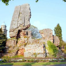
Bridgnorth Castle
235 m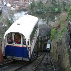
Bridgnorth Cliff Railway
92 m
Majestic Cinema
307 m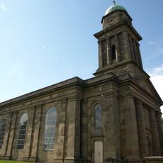
Church of St. Mary Magdalene, Bridgnorth
187 m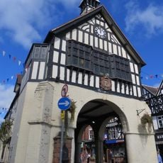
Town Hall
197 m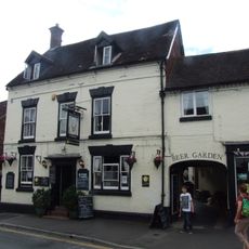
White Lion Inn
86 m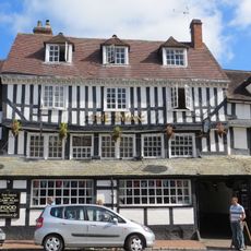
Swan Inn
144 m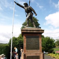
Bridgnorth War Memorial
308 m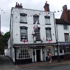
Foster Arms Public House
281 m
Black Boy Public House
137 m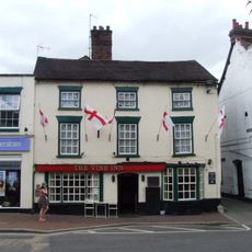
The Vine Public House
264 m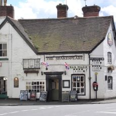
Shakespeare Hotel
70 m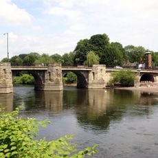
Severn Bridge
143 m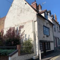
43, Cartway
88 m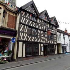
Kings Head Public House
312 m
34-36, High Street
168 m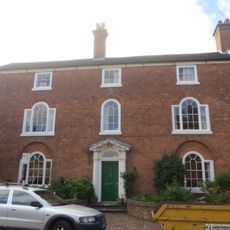
The Rectory
135 m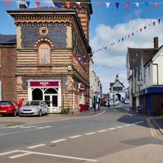
The New Market Hall
111 m
Sabrina Fountain
226 m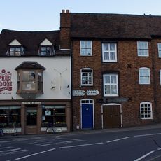
Bridge Street
90 m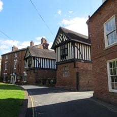
Grammar School House
282 m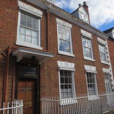
20, East Castle Street
64 m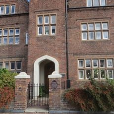
Governor's House
86 m
Warehouse Occupied By Messrs Se And A Ridley
100 m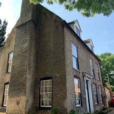
23, West Castle Street
198 m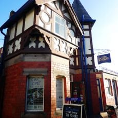
Upper Station Of Cliff Railway
33 m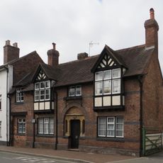
48, Mill Street
303 m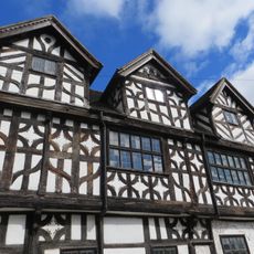
Bishop Percy's House
119 mVisited this place? Tap the stars to rate it and share your experience / photos with the community! Try now! You can cancel it anytime.
Discover hidden gems everywhere you go!
From secret cafés to breathtaking viewpoints, skip the crowded tourist spots and find places that match your style. Our app makes it easy with voice search, smart filtering, route optimization, and insider tips from travelers worldwide. Download now for the complete mobile experience.

A unique approach to discovering new places❞
— Le Figaro
All the places worth exploring❞
— France Info
A tailor-made excursion in just a few clicks❞
— 20 Minutes