Blackburn, Industrial town in Lancashire, England
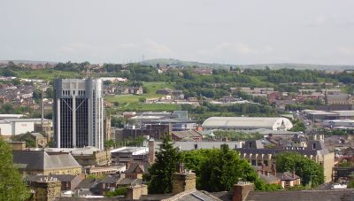
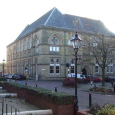
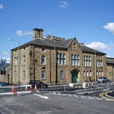
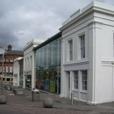
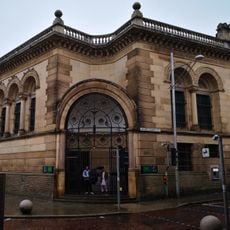
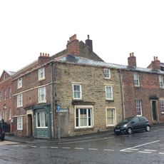
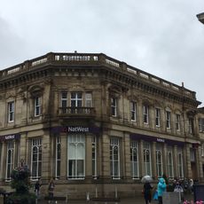
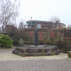
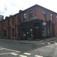
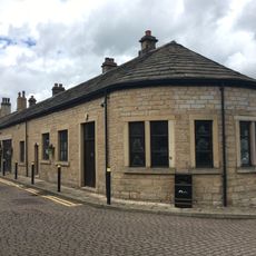
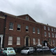
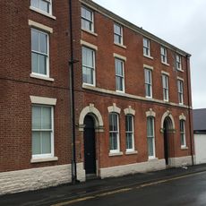
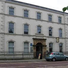
Blackburn is a town in northwest England sitting at the edge of the Ribble Valley and surrounded by grassy hills. Victorian industrial buildings in red brick stand alongside newer shopping centers and residential districts that spread away from the older 19th-century streets.
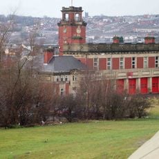
Flemish weavers settled in the area during the 14th century and introduced techniques that established a local cloth trade. The textile mills grew rapidly during the Industrial Revolution and made the town a major weaving center through the early 20th century.
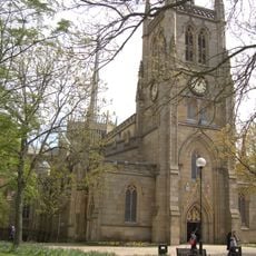
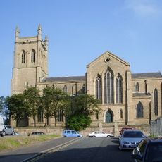
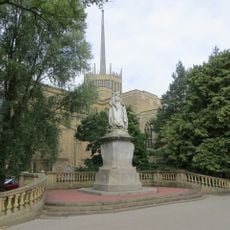
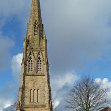
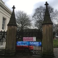
The cathedral retains its medieval tower while the nave displays modern stained glass following a 20th-century expansion. On market days locals gather around the central square, where traders sell regional produce.
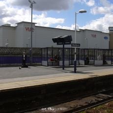
The center can be explored on foot, with most shops and facilities within a few streets. Bus stops are near the main squares and rail connections run to Manchester and other northwest cities.
In a nearby village a local weaver invented a multi-spindle machine in the mid-18th century that allowed one worker to spin several threads at once. This invention sped up yarn production and changed how textile operations worked across Europe.
Location: Blackburn with Darwen
Website: http://blackburn.gov.uk
GPS coordinates: 53.74490,-2.47690
Latest update: December 12, 2025 20:48
Blackburn Cathedral
394 m
Town Hall
721 m
Blackburn Museum and Art Gallery
748 m
Holy Trinity Church, Blackburn
707 m
St Anne's Church, Blackburn
742 m
Canterbury Street drill hall, Blackburn
499 m
Railings, Piers, Lampholders And Statue At East End Of Cathedral Churchyard
352 m
20, Church Street
484 m
Chapel Street Congregational Church
630 m
Blackburn Fire Station
714 m
Grandmother with Child
285 m
Lloyds Bank Old Bank
519 m
Vue Blackburn
144 m
43, King Street
701 m
Cathedral Gateway At North West Corner Of Churchyard
487 m
National Westminster Bank
651 m
34, Darwen Street
427 m
Canal House
536 m
1, Princes Street
733 m
Iron Structure At East End Of Warehouses West Of Navigation Bridge On Bridge
566 m
Numbers 25 To 31A Victoria Street Including Number 10 James Street
756 m
British Waterways Office
551 m
39 And 41, King Street
678 m
3 Princes Street
742 m
K6 Telephone Kiosk Opposite King Georges Hall
700 m
A, B, C, D And E Warehouses Of Entwistle And Oddy Limited
525 m
33, King Street
646 m
40-46, King Street
671 mVisited this place? Tap the stars to rate it and share your experience / photos with the community! Try now! You can cancel it anytime.
Discover hidden gems everywhere you go!
From secret cafés to breathtaking viewpoints, skip the crowded tourist spots and find places that match your style. Our app makes it easy with voice search, smart filtering, route optimization, and insider tips from travelers worldwide. Download now for the complete mobile experience.
A unique approach to discovering new places❞
— Le Figaro
All the places worth exploring❞
— France Info
A tailor-made excursion in just a few clicks❞
— 20 Minutes