
Henhull, civil parish in Cheshire East, United Kingdom
Location: Cheshire East
Shares border with: Nantwich, Acton, Hurleston, Worleston
GPS coordinates: 53.07120,-2.54024
Latest update: March 5, 2025 23:15
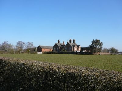

Dorfold Hall
443 m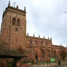
St Mary's Church, Acton
784 m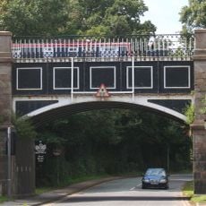
Nantwich Aqueduct
377 m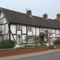
Wilbraham's Almshouses, Nantwich
651 m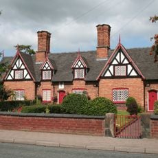
Tollemache Almshouses
604 m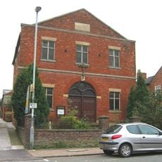
Primitive Methodist Chapel, Nantwich
816 m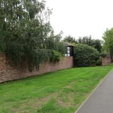
Nantwich Walled Garden
804 m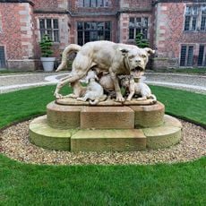
Statue group in forecourt of Dorfold Hall
433 m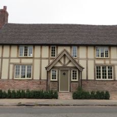
The Star Inn
698 m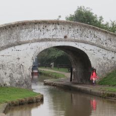
Shropshire Union Canal Main Line Nantwich Junction Bridge Number 92
129 m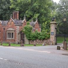
Dorfold Hall Lodge and entrance gates
382 m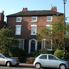
Old Grammar School House
794 m
108, Welsh Row
690 m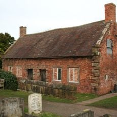
Almhouses in St Mary's churchyard north of the church
809 m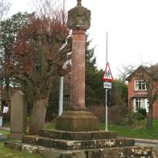
Sundial in St. Mary's Churchyard north-east of the Church
741 m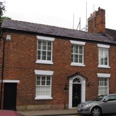
100 and 102, Welsh Row
759 m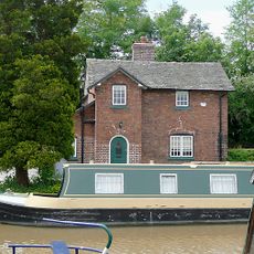
Basin End
77 m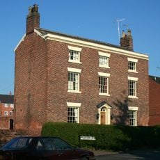
Tannery House
597 m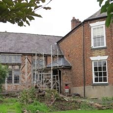
153 and 155, Welsh Row
661 m
St. Mary's Churchyard Wall
751 m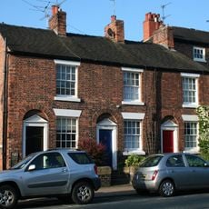
103-107, Welsh Row
797 m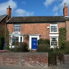
106, Welsh Row
715 m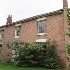
Church Farm House
780 m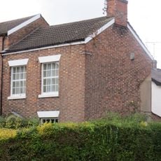
129, Welsh Row
733 m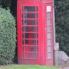
K6 telephone kiosk east of Monks Lane and the parish church
723 m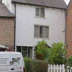
141, Welsh Row
708 m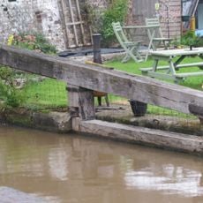
Shropshire Union Canal Main Line Lock Gate North Side Of Nantwich Junction Bridge
134 m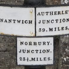
Shropshire Union Canal Main Line Canal Mile Post By Nantwich Junction Bridge
140 mVisited this place? Tap the stars to rate it and share your experience / photos with the community! Try now! You can cancel it anytime.
Discover hidden gems everywhere you go!
From secret cafés to breathtaking viewpoints, skip the crowded tourist spots and find places that match your style. Our app makes it easy with voice search, smart filtering, route optimization, and insider tips from travelers worldwide. Download now for the complete mobile experience.

A unique approach to discovering new places❞
— Le Figaro
All the places worth exploring❞
— France Info
A tailor-made excursion in just a few clicks❞
— 20 Minutes