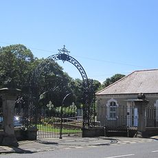
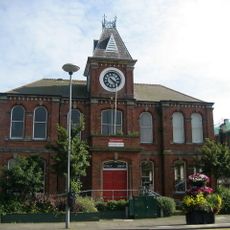
Blyth, Port town in Northumberland, England
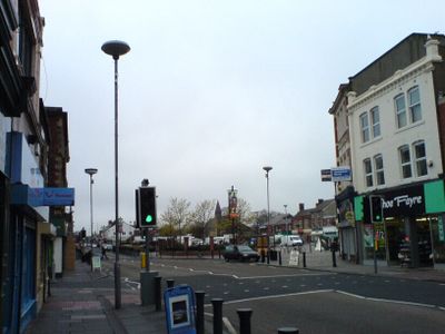
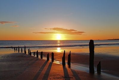
Blyth is a port settlement on the northeast coast of England where the mouth of the River Blyth flows into the sea and forms a natural harbor. The coastline stretches with sandy beaches and a path along the water, while the center holds shops and everyday facilities for residents and visitors.
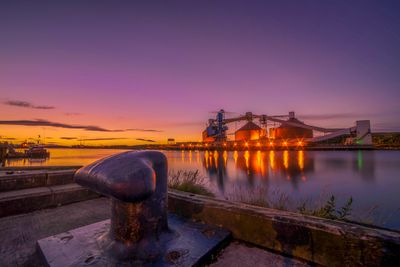
The harbor began in the 12th century with small shipping movements and grew over the centuries through coal transport. By the 1930s the facility became one of the largest coal export points in Europe, shaping the economy of the region for decades.
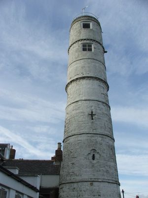
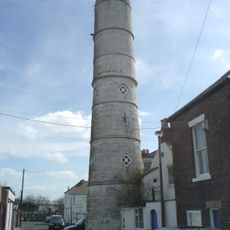
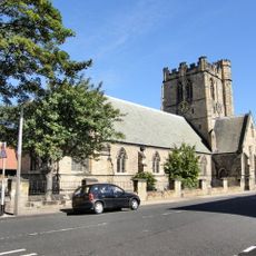
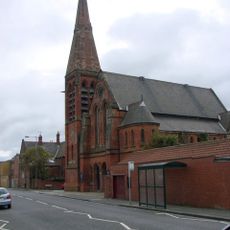
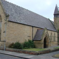
The name Blyth comes from Old English meaning gentle or cheerful, referring to the character of the settlement. Today the townscape shows a mix of port buildings and residential areas where locals often walk along the coastal promenade and use the closeness to the sea in daily life.
The beach promenade is accessible on any weekday and offers level paths for walks along the coast. The center sits close to the waterfront and can be reached on foot or by public transport from surrounding neighborhoods and towns.
Off the coast stand wind turbines from the early 1990s that were among the first of their kind in the offshore sector worldwide. These installations mark the beginning of modern wind energy use at sea and remain in operation today.
Location: Northumberland
Inception: 1788
GPS coordinates: 55.12600,-1.51400
Latest update: December 14, 2025 17:08
Blyth High Light
890 m
Church of St Cuthbert
694 m
Blyth United Reformed Church
38 m
Church of St Mary
191 m
Church of St Mary
4 km
Pair Of Chapels In Cowpen Cemetery
1.1 km
Church of Our Lady and St Wilfred
77 m
St Bede Church
2.2 kmHyde Park Trekking Centre
3 kmFynes Memorial In Cowpen Cemetery, 75 Metres South East Of Cemetery Chapels
1 kmHouse 10 Metres North Of St Mary's Church
200 mKings Head Hotel
742 mFront Garden Walls To Numbers 4 And 6
993 m
Gates And Screen Wall At Entrance To Cowpen Cemetery
1.1 km
Blyth WWII Memorial Garden, Northumderland
902 m
Blyth Library
465 m
Blyth First World War Memorial
899 m
Fort On Blyth Links
2.3 kmHarbour Commissioners Offices
704 mStraugham Tomb, 6 Metres West Of St Cuthbert's Church Hall
721 m4 And 6, Wensleydale Terrace
999 mGate Pier At Entrance To Link House Farm
2 kmCowpen War Memorial
1.6 km11, Bath Terrace
897 mLow Horton Farmhouse
3.4 km
Blyth Boer War Memorial, Northumberland
905 mWatts And English Headstone 8 Metres South Of St Cuthbert's Church Hall
743 m13, Bath Terrace
910 mVisited this place? Tap the stars to rate it and share your experience / photos with the community! Try now! You can cancel it anytime.
Discover hidden gems everywhere you go!
From secret cafés to breathtaking viewpoints, skip the crowded tourist spots and find places that match your style. Our app makes it easy with voice search, smart filtering, route optimization, and insider tips from travelers worldwide. Download now for the complete mobile experience.
A unique approach to discovering new places❞
— Le Figaro
All the places worth exploring❞
— France Info
A tailor-made excursion in just a few clicks❞
— 20 Minutes