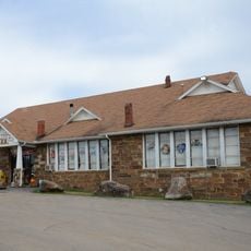
Clarksville, city in Arkansas, United States
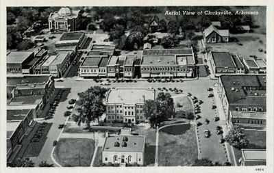
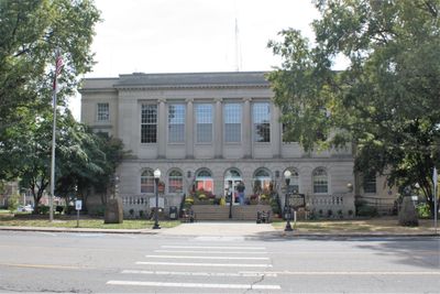
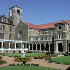
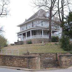
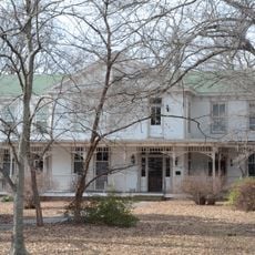
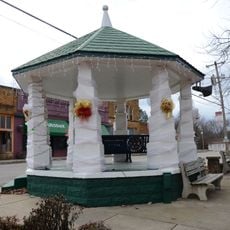
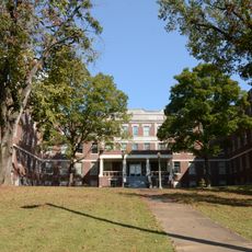
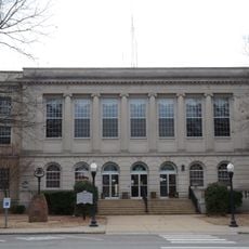
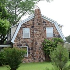
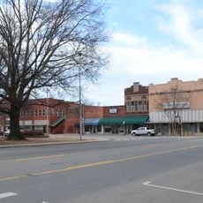
Clarksville is a small town in Johnson County, Arkansas, located on gently rolling land near Spadra Creek. It centers around a historic courthouse square with a gazebo and veterans memorial, includes a small university from 1891 with a designated historic chapel, and features parks with playgrounds and disc golf courses.
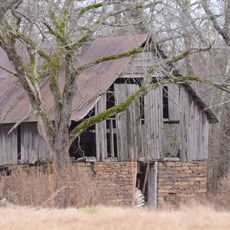
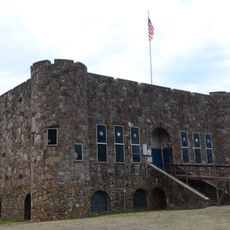
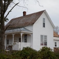
The town was established in 1836 after Johnson County separated from Pope County, with land donated by Josiah Cravens. It grew as a stagecoach and railroad junction during the 1800s, saw troop movements on both sides during the Civil War, and developed through railroad connections from the 1870s, coal mining, and the founding of its college in 1891.
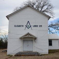
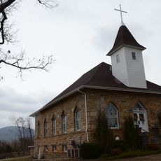
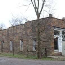
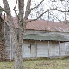
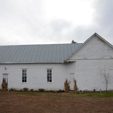
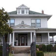
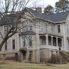
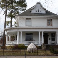
The town was named and founded in 1836 by settlers from eastern states who brought their farming traditions and community values. You can see this heritage reflected today in the historic buildings around the courthouse square and in the old churches that continue to anchor neighborhood life.
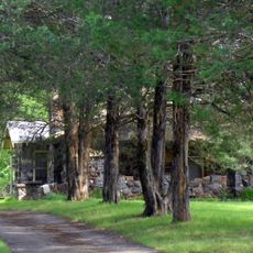
The town works well as a base for exploring the Ozarks, with nearby waterfalls, hiking trails, and a US Forest Service station where rangers provide maps and information. Cline Park offers playgrounds and open fields for families, while local restaurants and coffee shops provide convenient stops for meals and refreshment during your visit.
The town is known as the southern gateway to the Ozarks and features downtown murals depicting scenes of local farming and river life from the region's past. A modern addition worth noting is a solar-powered electric plant, one of the largest in the state, reflecting the town's embrace of new energy technology.
The community of curious travelers
AroundUs brings together thousands of curated places, local tips, and hidden gems, enriched daily by 60,000 contributors worldwide.