Enable Location

We need your location to show you interesting places around you

Discover nearby places

Find interesting locations and hidden gems around you

Precise directions

Get accurate directions and distances to places

Your location is never shared with other users. It's only used when you tap the location button.

Banbury

Log in to your account

Start exploring — it's free

Trusted by 63,229 travelers worldwide

Continue with Google
Continue with Apple
or

We will send you a code to connect

By continuing, you accept our Terms and Conditions and our Privacy Policy

Check your inbox

We've sent a pincode in your inbox. Please enter the code below.

Discussion Reviews 2 Photos
127k Popularity

Banbury, Administrative division in Oxfordshire, England

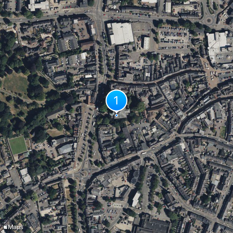
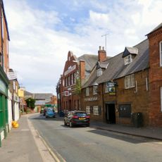
Banbury is a settlement in the county of Oxfordshire in northern England and forms a central administrative district along the River Cherwell with just over 54,000 residents. The built-up area spreads across several historical cores and newer residential quarters with mixed construction in brick and natural stone.

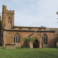
The settlement arose in Saxon times and appears in the Domesday Book of 1086 as an important trading place for wool. During the English Civil War in the 17th century the medieval castle was destroyed and never rebuilt.

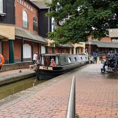
The River Cherwell forms a natural boundary through several neighborhoods and once served as a transport route for wool and trade goods. Many street names today still reference the old guild traditions and the connection to farming in the region.

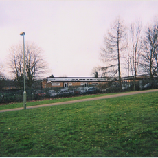
The railway station sits centrally and offers direct connections to London, Birmingham, Manchester and the south coast, so travelers can reach surrounding cities quickly. In the town center most streets are easy to walk for pedestrians, and several car parks are located at the edge of the pedestrian zone.

Until 1998 the town operated the largest cattle market in Western Europe, whose site was later converted into residential areas. The market attracted traders from all over England and shaped the rhythm of local life for centuries.

The community of curious travelers

AroundUs brings together thousands of curated places, local tips, and hidden gems, enriched daily by 60,000 contributors worldwide.

Start exploring
Location
Shares border with
Hanwell, Bourton, Adderbury, Bodicote, Bloxham, Broughton, North Newington, Drayton, Oxford
GPS coordinates
52.06139,-1.33917
Latest update
December 16, 2025 11:49
Reviews
Share your experience

No review yet

Discussions
Start a discussion...

No discussion yet

« Banbury - Administrative division in Oxfordshire, England » is provided by Around Us (aroundus.com). Images and texts are derived from Wikimedia project under a Creative Commons license. You are allowed to copy, distribute, and modify copies of this page, under the conditions set by the license, as long as this note is clearly visible.

Discover hidden gems everywhere you go!

From secret cafés to breathtaking viewpoints, skip the crowded tourist spots and find places that match your style. Our app makes it easy with voice search, smart filtering, route optimization, and insider tips from travelers worldwide. Download now for the complete mobile experience.

Around Us App Screenshot

A unique approach to discovering new places

Le Figaro

All the places worth exploring

France Info

A tailor-made excursion in just a few clicks

20 Minutes

Around Us
Travel Guide & Maps
Download

Send to your phone

QR Code
1

Open the camera app on your mobile.

2

Point at the QR code with your camera. A notification will appear.

3

Tap the notification to open the link.