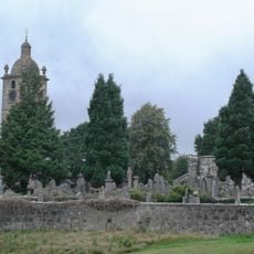
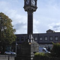
Bannockburn, Historical town in Stirling, Scotland
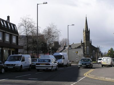
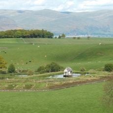
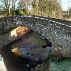
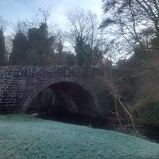
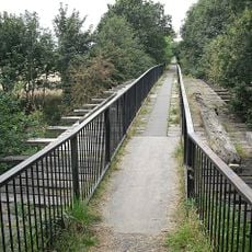
Bannockburn is a residential town south of Stirling where a small stream runs through the landscape toward the River Forth. The area combines historical sites with modern housing and connects the surrounding countryside to the broader Stirling region.
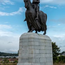
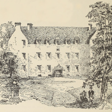
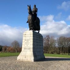
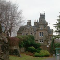
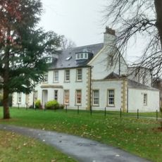
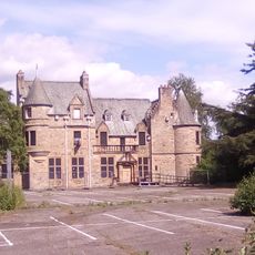
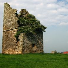
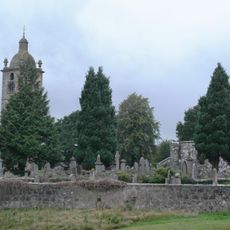
The location became notable following a major battle in 1314 when Scottish forces under Robert the Bruce defeated an English army, securing a turning point in Scottish independence. A historic house in the area later provided shelter to Bonnie Prince Charlie after a military defeat in 1746.
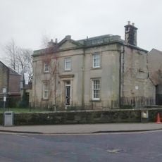
The Wilson family's textile works shaped the area's character in the late 18th century, producing fabrics and patterns that influenced British military design traditions.
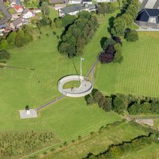
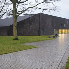
Visit during daylight hours to explore the visitor center and surrounding sites, as many areas require good visibility to appreciate the landscape and monuments. Plan time to walk through the grounds and nearby paths, as the experience benefits from a relaxed pace.
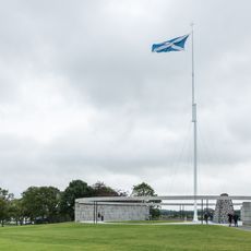
The battlefield victory relied on tactical movements and terrain features that modern accounts sometimes overlook, making the location more complex than popular retellings suggest. Visitors can discover details about how the landscape itself played a role in the outcome, providing a different perspective than typical battle narratives.
Location: Stirling
Location: St Ninians
Website: http://bannockburn.co.uk
GPS coordinates: 56.09000,-3.91000
Latest update: December 17, 2025 09:10
Equestrian statue of Robert the Bruce
1.8 km
Bannockburn House
1.4 km
The Battle of Bannockburn Visitor Centre
1.6 km
Viewforth House
3.1 km
Forthside Bridge
3.6 km
Howietoun Fish Farm
3.3 km
Bannockburn, Rotunda, Memorial Cairn, Flagpole And Statue Of King Robert I
1.8 km
Battlefield of Bannockburn
1.6 km
Stirling, Kirk Wynd, St Ninian's Old Parish Church
2.2 km
Bannockburn, 9 New Road, View Vale
329 m
George Christie Memorial Clock, Allan Park, Stirling
3.3 km
Kings Park, Drinking Fountain
3.5 km
Stirling, Newhouse, Beechwood House
2.7 km
Stirling, Allan Park, Black Boy Fountain
3.3 km
Carnegie Public Library, Stirling
3.6 km
Bannockburn, New Road, Bannock Burn, New Road Bridge
396 m
Stirling, 15 St Ninian's Road, Langgarth
3 km
Bannockburn, 33 Main Street, James Wilson Academy
282 m
Chartershall, Chartershall Road, Bannock Burn, Old Bridge
2 km
Bannockburn, Bannock Burn, Old Bridge
545 m
Bannockburn House, Old Dovecot
1.2 km
Bannockburn, Borestone Brae, The Rotunda
1.8 km
Whins Of Milton, Milton Grove, Milton Mill Including Water Wheel, Internal Workings And Lade
1.1 km
Stirling, 2 King Street, Bank Of Scotland
3.5 km
Stirling, Wellgreen Place, St Ninian's Well
3.2 km
Fallin, Railway Bridge
2.3 km
Stirling, Kirk Wynd, St Ninian's Old Parish Church, Churchyard
2.2 km
Stirling Baptist Church
3.6 kmVisited this place? Tap the stars to rate it and share your experience / photos with the community! Try now! You can cancel it anytime.
Discover hidden gems everywhere you go!
From secret cafés to breathtaking viewpoints, skip the crowded tourist spots and find places that match your style. Our app makes it easy with voice search, smart filtering, route optimization, and insider tips from travelers worldwide. Download now for the complete mobile experience.
A unique approach to discovering new places❞
— Le Figaro
All the places worth exploring❞
— France Info
A tailor-made excursion in just a few clicks❞
— 20 Minutes