Enable Location

We need your location to show you interesting places around you

Discover nearby places

Find interesting locations and hidden gems around you

Precise directions

Get accurate directions and distances to places

Your location is never shared with other users. It's only used when you tap the location button.

Wayne County

Log in to your account

Start exploring — it's free

Trusted by 64,628 travelers worldwide

Continue with Google
Continue with Apple
or

We will send you a code to connect

By continuing, you accept our Terms and Conditions and our Privacy Policy

Check your inbox

We've sent a pincode in your inbox. Please enter the code below.

Discussion Reviews 1 Photos
9.3k Popularity

Wayne County, Administrative county in southern Iowa, United States.

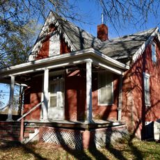
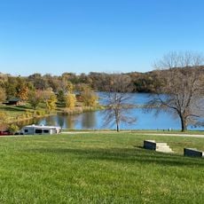
Wayne County is a county in the southern part of Iowa, with Corydon serving as its county seat. The land is largely rural, made up of farmland and small towns spread across a gently rolling landscape.

Wayne County was created in 1846 and formally organized in 1851, taking its name from General Anthony Wayne, a general from the Revolutionary War era. In those early years, the area had very few settlers and grew slowly over the following decades.

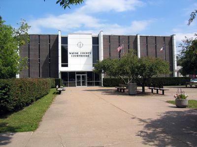
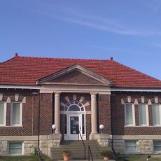
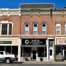
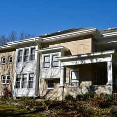
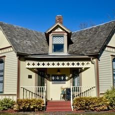
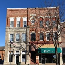
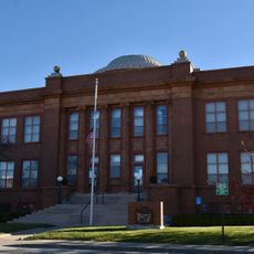
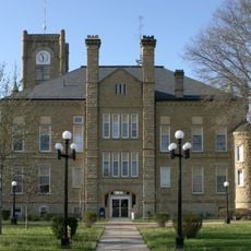
The county seat, Corydon, has a small town square where local life revolves around the courthouse and nearby shops. Visitors passing through can get a sense of how tight-knit rural communities in southern Iowa tend to feel.

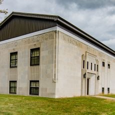
County offices are located in Corydon and are generally open on weekdays during standard business hours. If you need to visit a specific office, it is worth calling ahead to confirm availability and avoid unnecessary trips.

When the first election was held in the county, only thirty votes were cast in total, which gives a clear picture of just how few people lived there at the time. That number stands out as a reminder of how small the community was before farming expanded and more families arrived.

The community of curious travelers

AroundUs brings together thousands of curated places, local tips, and hidden gems, enriched daily by 60,000 contributors worldwide.

Start exploring
Location
Inception
1846
Capital city
Corydon
Shares border with
Lucas County, Mercer County, Putnam County, Clarke County, Decatur County, Monroe County, Appanoose County
GPS coordinates
40.73806,-93.32667
Latest update
March 3, 2026 08:19
Around this place
C.S. Stearns House
United States of America

C.S. Stearns House

25.3 km
Red Haw State Park
United States of America

Red Haw State Park

29.4 km
Appanoose County Courthouse
United States of America

Appanoose County Courthouse

38.1 km
Decatur County Courthouse
United States of America

Decatur County Courthouse

35.4 km
Chariton Public Library
United States of America

Chariton Public Library

31 km
Lucas County Courthouse Square Historic District
United States of America

Lucas County Courthouse Square Historic District

30.9 km
J.J. McClung House
United States of America

J.J. McClung House

27.2 km
Second Baptist Church
United States of America

Second Baptist Church

38.7 km
United States of America

Nelson Round Barn

3.8 km
A. J. Stephens House
United States of America

A. J. Stephens House

30.9 km
Wayne County Courthouse
United States of America

Wayne County Courthouse

2.3 km
O. E. Payne House
United States of America

O. E. Payne House

31.3 km
Courthouse Square Historic District
United States of America

Courthouse Square Historic District

38.2 km
Appanoose County Sheriff's House and Jail
United States of America

Appanoose County Sheriff's House and Jail

38.2 km
Drake Public Library
United States of America

Drake Public Library

38.3 km
Carl L. Caviness Post 102, American Legion
United States of America

Carl L. Caviness Post 102, American Legion

30.8 km
Porter Hall
United States of America

Porter Hall

38.3 km
United States Post Office
United States of America

United States Post Office

38.2 km
Chariton Herald-Patriot Building
United States of America

Chariton Herald-Patriot Building

31 km
W.H. Tedford House
United States of America

W.H. Tedford House

2 km
Williamson School
United States of America

Williamson School

39.5 km
Stratton House
United States of America

Stratton House

38.4 km
Chariton Masonic Temple
United States of America

Chariton Masonic Temple

30.8 km
Sturdivant-Sawyer House
United States of America

Sturdivant-Sawyer House

38.4 km
J. T. and Mollie Crozier House
United States of America

J. T. and Mollie Crozier House

31.3 km
John and Mary Jane Kyte Farmstead District
United States of America

John and Mary Jane Kyte Farmstead District

35.4 km
Little River Beach
United States of America

Little River Beach

37.6 km
Lucas County Courthouse
United States of America

Lucas County Courthouse

30.9 km
Show the full map
Reviews
Share your experience

No review yet

Discussions
Start a discussion...

No discussion yet

Administrative divisions
« Wayne County - Administrative county in southern Iowa, United States » is provided by Around Us (aroundus.com). Images and texts are derived from Wikimedia project under a Creative Commons license. You are allowed to copy, distribute, and modify copies of this page, under the conditions set by the license, as long as this note is clearly visible.

Discover hidden gems everywhere you go!

From secret cafés to breathtaking viewpoints, skip the crowded tourist spots and find places that match your style. Our app makes it easy with voice search, smart filtering, route optimization, and insider tips from travelers worldwide. Download now for the complete mobile experience.

Around Us App Screenshot

A unique approach to discovering new places

Le Figaro

All the places worth exploring

France Info

A tailor-made excursion in just a few clicks

20 Minutes

Around Us
Travel Guide & Maps
Download

Send to your phone

QR Code
1

Open the camera app on your mobile.

2

Point at the QR code with your camera. A notification will appear.

3

Tap the notification to open the link.