Mitchell County, Administrative county in northern Iowa, United States.
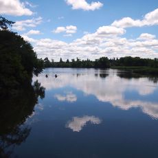
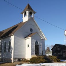
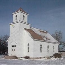
Mitchell County is an administrative county in northern Iowa with gently rolling agricultural land and flat terrain. The area spans a large region dotted with rural communities and farmland that defines the landscape.
The county was established in 1851 and named after John Mitchell during the period of European settlement and westward expansion. Its founding marked the beginning of systematic agricultural development in the region.
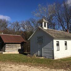
The county hosts regular farmers' markets and community gatherings where agricultural roots and rural traditions come to the fore. Visitors can observe how local customs remain active and valued in everyday life.
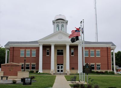
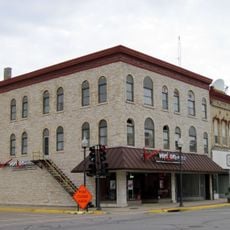
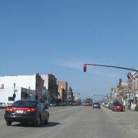
The county seat of Osage serves as the main hub for public services and information for visitors to the area. Planning a visit to this town gives easy access to local government facilities and community resources.
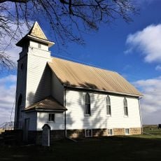
The region is known for maintaining strong agricultural heritage and deep connections to farming traditions. Visitors often notice how these rural roots remain woven into local culture and daily life.
The community of curious travelers
AroundUs brings together thousands of curated places, local tips, and hidden gems, enriched daily by 60,000 contributors worldwide.