
Freeborn County, Administrative division in southern Minnesota, United States.
Freeborn County encompasses multiple townships and municipalities, with Albert Lea functioning as the county seat and primary administrative center.
The Minnesota Territory legislature established Freeborn County on February 20, 1855, naming it after William Freeborn, a territorial legislator.
The County Board of Commissioners holds regular public meetings where residents participate in discussions about local governance and community matters.
Residents can access county services through the administration office at 411 Broadway in Albert Lea, operating Monday through Friday from 8 AM to 5 PM.
The county maintains specific agreements regarding public drainage systems, reflecting the regional agricultural focus and water management requirements.
Location: Minnesota
Inception: February 20, 1855
Capital city: Albert Lea
Shares border with: Steele County, Winnebago County, Worth County, Faribault County, Waseca County, Mower County
Website: http://co.freeborn.mn.us
GPS coordinates: 43.67000,-93.35000
Latest update: March 20, 2025 09:34
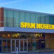
Spam Museum
30.2 km
Myre-Big Island State Park
5 km
Hormel Historic Home
30 km
St. Augustine's Church
29.8 km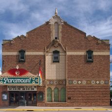
Paramount Theater
30.3 km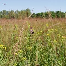
Jay C. Hormel Nature Center
33.3 km
East Side Lake
32 km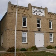
Lodge Zare Zapadu
16.1 km
Clarks Grove Cooperative Creamery
10.6 km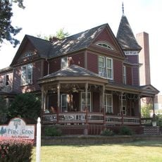
William R. Wolf House
47 km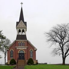
Vista Lutheran Church
33.3 km
Steele County Courthouse
47.1 km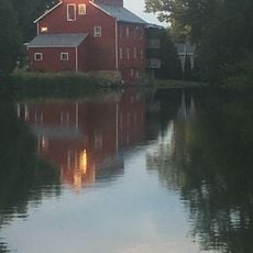
Rhodes Mill
45.6 km
Bessesen Building
2.8 km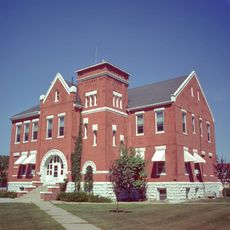
Worth County Courthouse
27.3 km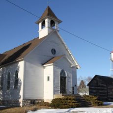
First Methodist Episcopal Church
37.1 km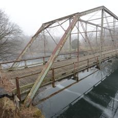
Otranto Bridge
37.9 km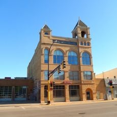
Owatonna City and Firemen's Hall
47.1 km
Peter Kremer House
43.3 km
John W. Aughenbaugh House
47 km
Northwood Central Avenue Historic District
27 km
Roscoe P. Ward House
46.8 km
Strangers Refuge Lodge Number 74, IOOF
27.4 km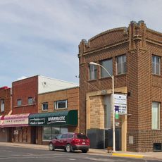
Blooming Prairie Commercial Historic District
32.5 km
Old Worth County Courthouse
27.3 km
Hormel Historic Home
30 km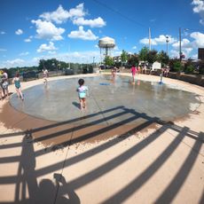
Albert Lea Splash Pad
2.6 km
Pillsbury Baptist Bible College
47.1 kmReviews
Visited this place? Tap the stars to rate it and share your experience / photos with the community! Try now! You can cancel it anytime.
Discover hidden gems everywhere you go!
From secret cafés to breathtaking viewpoints, skip the crowded tourist spots and find places that match your style. Our app makes it easy with voice search, smart filtering, route optimization, and insider tips from travelers worldwide. Download now for the complete mobile experience.

A unique approach to discovering new places❞
— Le Figaro
All the places worth exploring❞
— France Info
A tailor-made excursion in just a few clicks❞
— 20 Minutes