Enable Location

We need your location to show you interesting places around you

Discover nearby places

Find interesting locations and hidden gems around you

Precise directions

Get accurate directions and distances to places

Your location is never shared with other users. It's only used when you tap the location button.

Wright County

Log in to your account

Start exploring — it's free

Trusted by 61,853 travelers worldwide

Continue with Google
Continue with Apple
or

We will send you a code to connect

By continuing, you accept our Terms and Conditions and our Privacy Policy

Check your inbox

We've sent a pincode in your inbox. Please enter the code below.

Wright County, County in Iowa, United States

Description

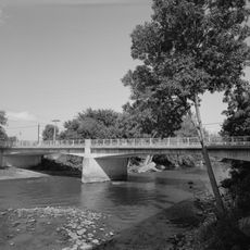
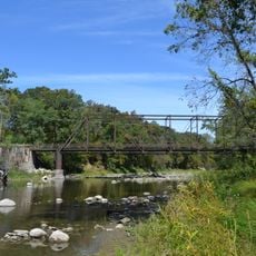
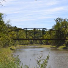
Wright County is an administrative division in central Iowa with rolling terrain crossed by the Boone and Iowa Rivers. The area spans around 582 square miles and shows typical features of the agricultural region in the American Midwest.

History

The county was established in January 1851 and named after one of two possible governors: either Silas Wright of New York or Joseph Albert Wright of Indiana. Its founding occurred during the western expansion period when settlers were developing the region.

Culture

The fair that started in Clarion and later moved to Eagle Grove remains an important gathering where neighboring counties come together to celebrate farming traditions. The event shows how central agriculture is to the community's identity.

Practical

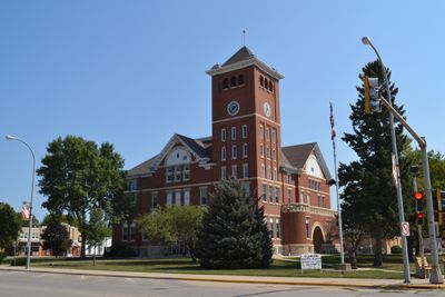
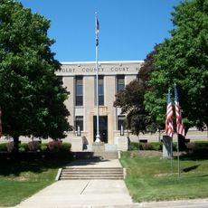
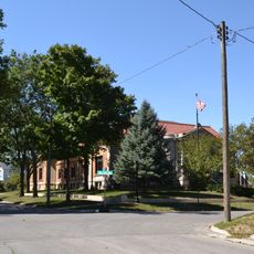
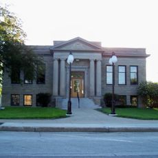
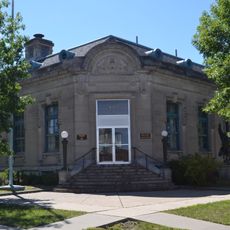
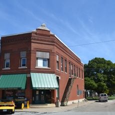
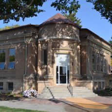
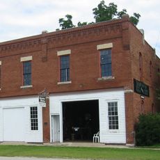
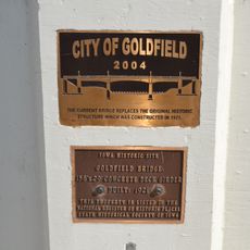
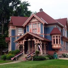
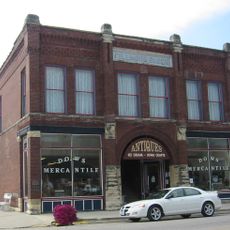
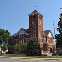
Clarion serves as the county seat and houses the courthouse downtown, where services are available to residents on weekdays. The area is best explored by using local roads to discover the rural landscape and small towns throughout the county.

Did you know?

The area stands out for its political forecasting ability, voting for the winning presidential candidate in 21 of 25 elections during the 20th century. This consistency made the region a fascinating subject for political analysts studying voting patterns.

Location
Inception
1851
Capital city
Clarion
Shares border with
Hancock County, Hamilton County, Humboldt County, Webster County, Kossuth County, Cerro Gordo County, Franklin County, Hardin County
GPS coordinates
42.73306,-93.73556
Latest update
December 10, 2025 15:57

AroundUs brings together thousands of curated places, local tips, and hidden gems, enriched daily by 60,000 contributors worldwide. Discover all places nearby (Iowa).

Around this place
United States of America

National Hobo Convention

40.8 km
Beeds Lake State Park
United States of America

Beeds Lake State Park

40.3 km
William J. and Hattie J. Zitterell House
United States of America

William J. and Hattie J. Zitterell House

30.4 km
Humboldt County Courthouse
United States of America

Humboldt County Courthouse

39.3 km
Kendall Young Public Library
United States of America

Kendall Young Public Library

30.6 km
Wright County Courthouse
United States of America

Wright County Courthouse

310 m
Boone River Bridge
United States of America

Boone River Bridge

22.1 km
William Oakland Round Barn
United States of America

William Oakland Round Barn

28.7 km
Humboldt Public Library
United States of America

Humboldt Public Library

39.6 km
Webster City Post Office
United States of America

Webster City Post Office

30.3 km
Corydon Brown House
United States of America

Corydon Brown House

37.2 km
Alden Public Library
United States of America

Alden Public Library

38.5 km
Hamilton County Courthouse
United States of America

Hamilton County Courthouse

31.8 km
Alden Bridge
United States of America

Alden Bridge

37.8 km
Schultz Brothers Drug Store
United States of America

Schultz Brothers Drug Store

31.4 km
Renwick Generating Plant
United States of America

Renwick Generating Plant

22.5 km
Albright Bridge
United States of America

Albright Bridge

37 km
Tremaine Bridge
United States of America

Tremaine Bridge

39 km
Eagle Grove Public Library
United States of America

Eagle Grove Public Library

15.9 km
St. John's Lutheran Church
United States of America

St. John's Lutheran Church

32.4 km
Stephen Harris Taft House
United States of America

Stephen Harris Taft House

39.6 km
Quasdorf Blacksmith and Wagon Shop
United States of America

Quasdorf Blacksmith and Wagon Shop

21.1 km
Goldfield Bridge
United States of America

Goldfield Bridge

15.5 km
George E. Stubbins House
United States of America

George E. Stubbins House

40.6 km
Lu Verne City Jail
United States of America

Lu Verne City Jail

34.6 km
Fillmore Block
United States of America

Fillmore Block

21.1 km
Hobo Museum
United States of America

Hobo Museum

40.8 km
Humboldt Family Aquatic Center
United States of America

Humboldt Family Aquatic Center

39 km
Show the full map
Administrative divisions
« Wright County - County in Iowa, United States » is provided by Around Us (aroundus.com). Images and texts are derived from Wikimedia project under a Creative Commons license. You are allowed to copy, distribute, and modify copies of this page, under the conditions set by the license, as long as this note is clearly visible.

Discover hidden gems everywhere you go!

From secret cafés to breathtaking viewpoints, skip the crowded tourist spots and find places that match your style. Our app makes it easy with voice search, smart filtering, route optimization, and insider tips from travelers worldwide. Download now for the complete mobile experience.

Around Us App Screenshot

A unique approach to discovering new places

Le Figaro

All the places worth exploring

France Info

A tailor-made excursion in just a few clicks

20 Minutes

Around Us
Travel Guide & Maps
Download

Send to your phone

QR Code
1

Open the camera app on your mobile.

2

Point at the QR code with your camera. A notification will appear.

3

Tap the notification to open the link.