Enable Location

We need your location to show you interesting places around you

Discover nearby places

Find interesting locations and hidden gems around you

Precise directions

Get accurate directions and distances to places

Your location is never shared with other users. It's only used when you tap the location button.

Ashe County

Log in to your account

Start exploring — it's free

Trusted by 62,036 travelers worldwide

Continue with Google
Continue with Apple
or

We will send you a code to connect

By continuing, you accept our Terms and Conditions and our Privacy Policy

Check your inbox

We've sent a pincode in your inbox. Please enter the code below.

Ashe County, County in North Carolina, United States.

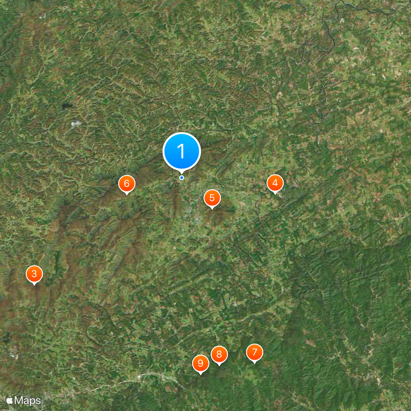
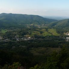
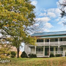
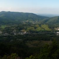
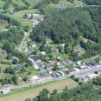
Ashe County is an administrative division in northwestern North Carolina that spans rolling mountainous terrain within the Appalachian region. The area sits along the border with Virginia and Tennessee and is crossed by four main highways that connect different communities.

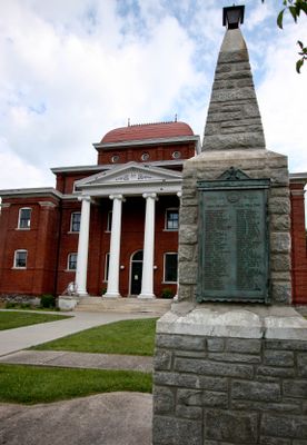
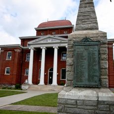
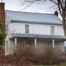
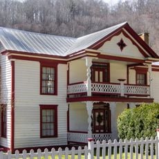
The area played a role during the American Revolution, with military encounters between American forces and British Loyalists shaping its past. These events remain part of the region's historical identity.

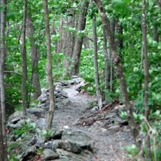
Christmas tree farming defines much of the local economy today, making this place the state's leading producer of these evergreens. Walking through the countryside, you notice many plantations that shape how the land looks and is used.

The county is easy to explore by car, as four highways run through it and connect different areas. The best time to visit depends on what interests you, but each season offers different experiences.

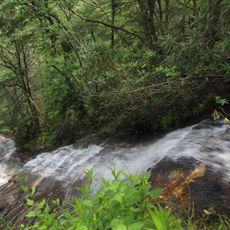
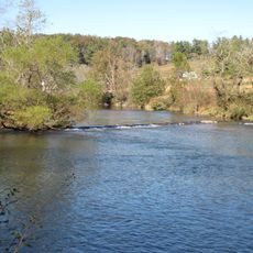
The New River flows northward through the area and later received recognition as an American Heritage River. This waterway matters both for the local environment and as a place where visitors can enjoy outdoor activities.

The community of curious travelers

AroundUs brings together thousands of curated places, local tips, and hidden gems, enriched daily by 60,000 contributors worldwide.

Start exploring
Location
Inception
1799
Capital city
Jefferson
Shares border with
Grayson County, Alleghany County, Wilkes County, Watauga County, Johnson County
GPS coordinates
36.43000,-81.50000
Latest update
December 17, 2025 11:13
Around this place
Cascade Falls
United States of America

Cascade Falls

20.5 km
Elk Knob State Park
United States of America

Elk Knob State Park

19.6 km
New River State Park
United States of America

New River State Park

10.2 km
Mount Jefferson State Natural Area
United States of America

Mount Jefferson State Natural Area

4.7 km
United States of America

Mountain Bogs National Wildlife Refuge

6.1 km
United States of America

Dark Sky Observatory

21.4 km
Betsey's Rock Falls
United States of America

Betsey's Rock Falls

20.5 km
United States of America

Tomkins Knob

21.2 km
Glendale Springs Inn
United States of America

Glendale Springs Inn

14.3 km
United States of America

Baptist Chapel Church and Cemetery

14 km
Ashe County Courthouse
United States of America

Ashe County Courthouse

2.9 km
Ashe Metamorphic Suite
United States of America

Ashe Metamorphic Suite

18.3 km
United States of America

Robert L. Doughton House

21.1 km
Worth's Chapel
United States of America

Worth's Chapel

11.5 km
Samuel Cox House
United States of America

Samuel Cox House

17.4 km
John Smith Miller House
United States of America

John Smith Miller House

22.9 km
William Waddell House
United States of America

William Waddell House

16.5 km
United States of America

Perry-Shepherd Farm

10.6 km
United States of America

Lansing School

7.9 km
United States of America

West Jefferson Historic District

3.2 km
United States of America

Grassy Creek Historic District

18.2 km
William Weaver House
United States of America

William Weaver House

17.7 km
United States of America

Clark-Miller Roller Mill

8.7 km
United States of America

Thompson's Bromine and Arsenic Springs

12.3 km
Bower-Cox House
United States of America

Bower-Cox House

12.3 km
United States of America

Cockerham Mill

10.5 km
A.S. Cooper Farm
United States of America

A.S. Cooper Farm

17.7 km
John W. Tucker House
United States of America

John W. Tucker House

11.2 km
Show the full map
« Ashe County - County in North Carolina, United States » is provided by Around Us (aroundus.com). Images and texts are derived from Wikimedia project under a Creative Commons license. You are allowed to copy, distribute, and modify copies of this page, under the conditions set by the license, as long as this note is clearly visible.

Discover hidden gems everywhere you go!

From secret cafés to breathtaking viewpoints, skip the crowded tourist spots and find places that match your style. Our app makes it easy with voice search, smart filtering, route optimization, and insider tips from travelers worldwide. Download now for the complete mobile experience.

Around Us App Screenshot

A unique approach to discovering new places

Le Figaro

All the places worth exploring

France Info

A tailor-made excursion in just a few clicks

20 Minutes

Around Us
Travel Guide & Maps
Download

Send to your phone

QR Code
1

Open the camera app on your mobile.

2

Point at the QR code with your camera. A notification will appear.

3

Tap the notification to open the link.