Enable Location

We need your location to show you interesting places around you

Discover nearby places

Find interesting locations and hidden gems around you

Precise directions

Get accurate directions and distances to places

Your location is never shared with other users. It's only used when you tap the location button.

Pender County

Log in to your account

Start exploring — it's free

Trusted by 61,687 travelers worldwide

Continue with Google
Continue with Apple
or

We will send you a code to connect

By continuing, you accept our Terms and Conditions and our Privacy Policy

Check your inbox

We've sent a pincode in your inbox. Please enter the code below.

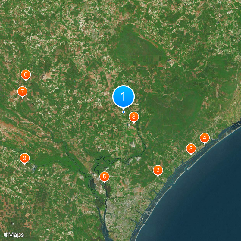
Pender County, County in North Carolina, United States

Description

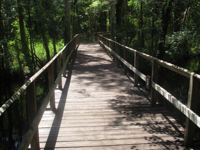
Pender County is an administrative division in southeastern North Carolina that encompasses coastal areas alongside inland regions with forests, rivers, and wetlands. The county combines both developed communities and natural landscapes across its territory.

History

The county was established in 1875 from territory that formerly belonged to New Hanover County and was named after William Dorsey Pender, a Confederate general during the Civil War. This creation reflected the reorganization of administrative boundaries in the region following the war.

Culture

Students in Pender County attend educational programs through the county school system, which maintains multiple facilities across different communities.

Practical

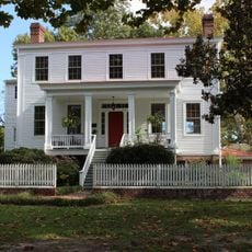
The county seat of Burgaw serves as the main center for government services and administrative functions throughout the region. Visitors can find official offices and local resources there for information about county operations.

Did you know?

The area contains Moores Creek National Battlefield, where a significant engagement during the American Revolution took place and influenced the course of the war in the region. This site attracts those interested in military history of the early nation.

Location
Inception
1875
Capital city
Burgaw
Shares border with
Duplin County, Onslow County, New Hanover County, Brunswick County, Columbus County, Bladen County, Sampson County
GPS coordinates
34.51000,-77.89000
Latest update
December 20, 2025 12:35

AroundUs brings together thousands of curated places, local tips, and hidden gems, enriched daily by 60,000 contributors worldwide. Discover all places nearby (North Carolina).

Around this place
Poplar Grove
United States of America

Poplar Grove

24 km
United States of America

Belvidere Plantation House

26.3 km
Sloop Point
United States of America

Sloop Point

28.7 km
Dan Cameron Bridge
United States of America

Dan Cameron Bridge

24 km
Black River Presbyterian and Ivanhoe Baptist Churches
United States of America

Black River Presbyterian and Ivanhoe Baptist Churches

33.8 km
United States of America

Beatty-Corbett House

33.6 km
United States of America

Gov. Samuel Ashe Grave

4.9 km
Black Rock Plantation House
United States of America

Black Rock Plantation House

36.8 km
United States of America

Bannerman House

13.7 km
Tinga Nursery
United States of America

Tinga Nursery

23.7 km
United States of America

Penderlea Homesteads Historic District

22.2 km
US Naval Ordnance Testing Facility Observation Tower No. 2
United States of America

US Naval Ordnance Testing Facility Observation Tower No. 2

29.2 km
United States of America

Pender County Courthouse

5.6 km
United States of America

Burgaw Historic District

5.7 km
United States of America

Dr. John B. Seavey House and Cemetery

35.3 km
US Naval Ordnance Testing Facility Control Tower
United States of America

US Naval Ordnance Testing Facility Control Tower

28.8 km
Old McFaye's Farm
United States of America

Old McFaye's Farm

20 km
United States of America

Yow-Williams Pond

32.4 km
United States of America

Cypress Lake

31.9 km
United States of America

Loyalist Monument

21.3 km
United States of America

Pender Theater

5.5 km
United States of America

Moore Monument

21.2 km
United States of America

Stage Road Monument

21.1 km
United States of America

Slocumb Monument

21.1 km
United States of America

Moores Creek National Battlefield Visitor Center

21 km
United States of America

Bloody Bluff

37.3 km
United States of America

Squalling Bluff

33.4 km
United States of America

Sandy Bluff

33.1 km
Show the full map
Administrative divisions
« Pender County - County in North Carolina, United States » is provided by Around Us (aroundus.com). Images and texts are derived from Wikimedia project under a Creative Commons license. You are allowed to copy, distribute, and modify copies of this page, under the conditions set by the license, as long as this note is clearly visible.

Discover hidden gems everywhere you go!

From secret cafés to breathtaking viewpoints, skip the crowded tourist spots and find places that match your style. Our app makes it easy with voice search, smart filtering, route optimization, and insider tips from travelers worldwide. Download now for the complete mobile experience.

Around Us App Screenshot

A unique approach to discovering new places

Le Figaro

All the places worth exploring

France Info

A tailor-made excursion in just a few clicks

20 Minutes

Around Us
Travel Guide & Maps
Download

Send to your phone

QR Code
1

Open the camera app on your mobile.

2

Point at the QR code with your camera. A notification will appear.

3

Tap the notification to open the link.