Spencer County, Administrative county in Louisville metropolitan area, Kentucky, United States
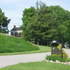
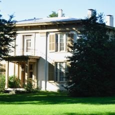
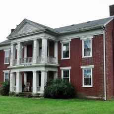
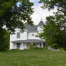
Spencer County is a county in central Kentucky with Taylorsville as its county seat, set across rolling land divided between farmland and residential areas. It sits on the eastern edge of the Louisville metro region, where agricultural land meets growing neighborhoods.
The Kentucky General Assembly established this county on January 7, 1824, as part of a broader effort to organize growing settlements across the state. The county was named after John Spencer, a Kentucky soldier who died during the War of 1812.
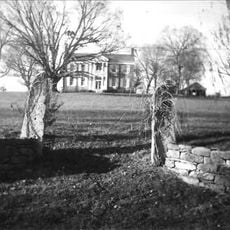
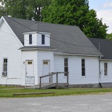
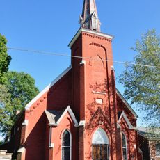
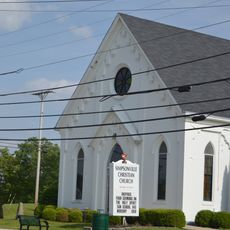
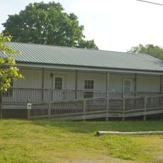
Spencer County is known for its strong ties to farming life, visible in local fairs and seasonal markets where regional produce takes center stage. These gatherings bring the community together and show how rural traditions remain part of everyday life here.
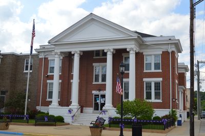
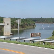
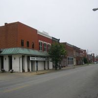
A car is the most practical way to get around, as public transportation is very limited and the communities are spread across a wide area. Taylorsville, the county seat, is a good starting point for reaching local services and the nearby Taylorsville Lake State Park.
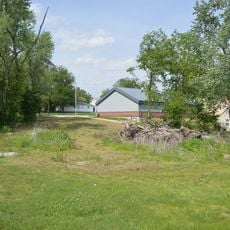
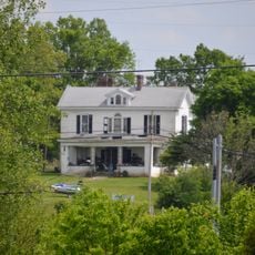
Although small and mostly rural, this county has been one of the fastest-growing in Kentucky since the 1990s, driven largely by people moving out of Louisville while still commuting to the city. This pattern has created a patchwork of working farms sitting directly alongside new housing developments.
The community of curious travelers
AroundUs brings together thousands of curated places, local tips, and hidden gems, enriched daily by 60,000 contributors worldwide.