
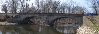
12 Mile Road–Kalamazoo River Bridge
12 Mile Road–Kalamazoo River Bridge, NRHP-listed bridge in Michigan
Location: Marshall Township
Inception: 1920
GPS coordinates: 42.27000,-85.06140
Latest update: November 28, 2025 14:29
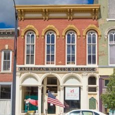
American Museum of Magic
8.5 km
Binder Park Zoo
9.2 km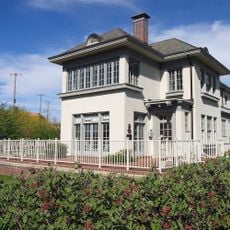
W. K. Kellogg House
11.2 km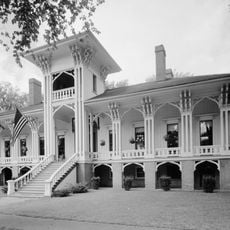
Honolulu House
8 km
Governor's Mansion
8.8 km
Marshall Historic District
8.1 km
Penniman Castle
9.8 km
Masonic Temple Building
8.5 km
Harold C. Brooks House
8 km
Battle Creek City Hall
11 km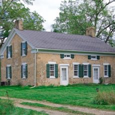
Stow-Hasbrouck House
10.3 km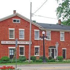
National House
7.9 km
Oakhill
8.3 km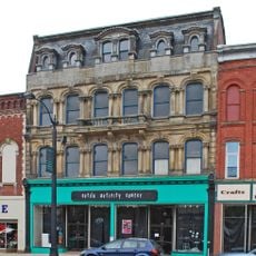
Wagner's Block
8.3 km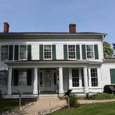
Maple Street Historic District
10.9 km
City Hall Historic District
11.1 km
Capitol Hill School
9 km
Stonehall
8 km
Isaac Lockwood House
4 km
Joy House
8 km
Emporium
8.4 km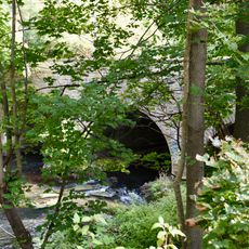
Marshall Avenue Bridge
8.8 km
William Prindle Livery Stable
8 km
Wright-Brooks House
8.7 km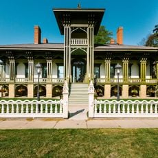
Honolulu House
8 km
First Baptist Church Historical Marker
11.1 km
Saint Thomas Episcopal Church Historical Marker
11.3 km
Ward Mill Site Historical Marker
11.3 kmReviews
Visited this place? Tap the stars to rate it and share your experience / photos with the community! Try now! You can cancel it anytime.
Discover hidden gems everywhere you go!
From secret cafés to breathtaking viewpoints, skip the crowded tourist spots and find places that match your style. Our app makes it easy with voice search, smart filtering, route optimization, and insider tips from travelers worldwide. Download now for the complete mobile experience.

A unique approach to discovering new places❞
— Le Figaro
All the places worth exploring❞
— France Info
A tailor-made excursion in just a few clicks❞
— 20 Minutes