
Gilmer County, Administrative county in the north-central region of West Virginia, United States.
Gilmer County extends across an area marked by forested hills, waterways, and valleys between the coordinates of 38.92° latitude and -80.85° longitude.
The county formed on February 3, 1845, initially as part of Virginia, later becoming part of West Virginia during the state's separation in 1863.
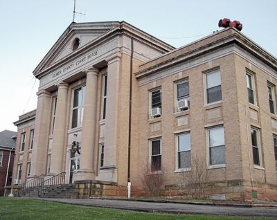
Residents of Gilmer County participate in regular community gatherings at Glenville, the county seat, maintaining strong connections through local traditions and festivities.
The local government operates from Glenville, managing essential services including road maintenance, public education, and administrative functions for the county's population.
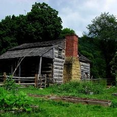
The county maintains several parks and natural areas that showcase the regional landscape, providing spaces for outdoor activities throughout all seasons.
Location: West Virginia
Inception: February 3, 1845
Capital city: Glenville
Shares border with: Doddridge County, Lewis County, Braxton County, Calhoun County, Ritchie County
Website: http://gilmercounty.wv.gov
GPS coordinates: 38.92000,-80.85000
Latest update: March 7, 2025 12:28
Jackson's Mill
38.5 km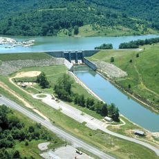
Burnsville Lake
22 km
North Bend State Park
40.3 km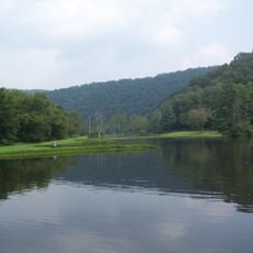
Cedar Creek State Park
4.4 km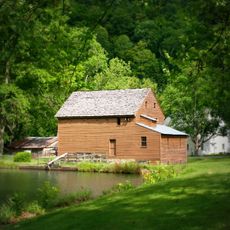
Jackson's Mill State 4-H Camp Historic District
38.4 km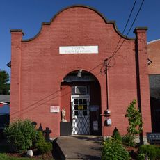
Weston Colored School
35.9 km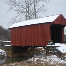
Walkersville Covered Bridge
34.4 km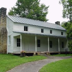
Cunningham House and Outbuildings
28.8 km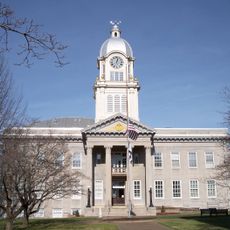
Ritchie County Courthouse
36.7 km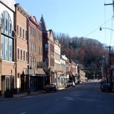
Weston Downtown Historic District
35.5 km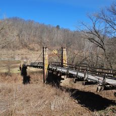
Duck Run Cable Suspension Bridge
5.5 km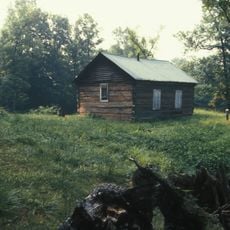
Ruble Church
40.7 km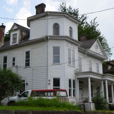
William Edgar Haymond House
31 km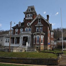
Jonathan M. Bennett House
35.7 km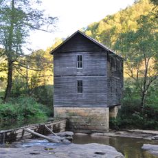
Mollohan Mill
42.2 km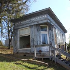
Little Kanawha Valley Bank
1.9 km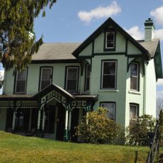
Weston Downtown Residential Historic District
36.1 km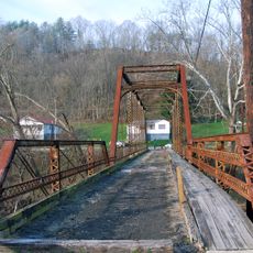
Burnsville Bridge
18.2 km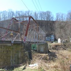
Glenville Truss Bridge
1.7 km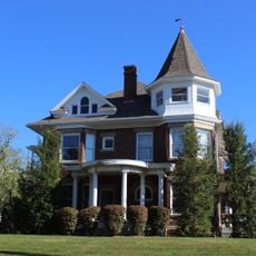
John E. Arbuckle House
2.1 km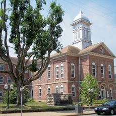
Sutton Downtown Historic District
31 km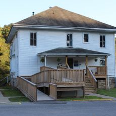
Gilmer County Poor Farm Infirmary
3.8 km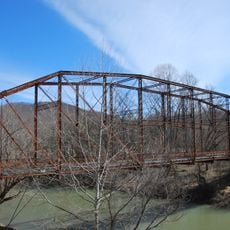
Stouts Mill Bridge
10.6 km
Harrisville Historic District (Harrisville, West Virginia)
36.7 km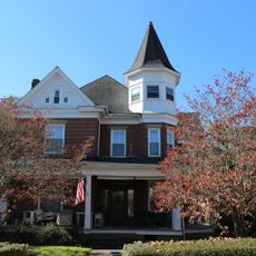
Whiting House
1.8 km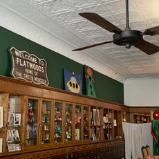
Flatwoods Monster Museum
31 km
Museum of American Glass in West Virginia
35.7 km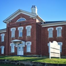
Harrisville Grade School
36.7 kmReviews
Visited this place? Tap the stars to rate it and share your experience / photos with the community! Try now! You can cancel it anytime.
Discover hidden gems everywhere you go!
From secret cafés to breathtaking viewpoints, skip the crowded tourist spots and find places that match your style. Our app makes it easy with voice search, smart filtering, route optimization, and insider tips from travelers worldwide. Download now for the complete mobile experience.

A unique approach to discovering new places❞
— Le Figaro
All the places worth exploring❞
— France Info
A tailor-made excursion in just a few clicks❞
— 20 Minutes