Mingo County

Log in to your account

AroundUs is a community-driven map of interesting places, built by curious explorers like you. It grows with every review, story, and photo you share.
Connect to save your favorite spots, contribute locations, and create personalized routes.
Continue with Google
Continue with Apple
Continue with X
Continue with Facebook
Continue with email
By continuing, you accept our Terms and Conditions and our Privacy Policy
Create an account
Add to collection
Map
Suggest a change
Share

Mingo County, County in southwestern West Virginia, United States

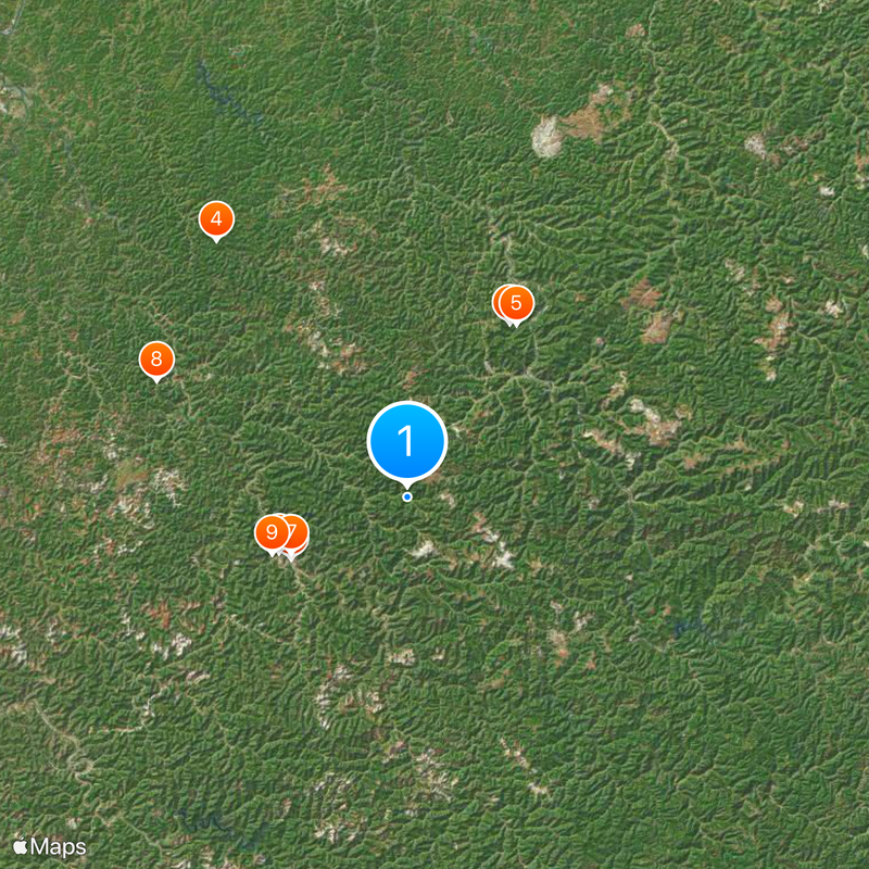
Mingo County is a county in southwestern West Virginia characterized by forests, hills, and the Tug Fork River cutting through the region. The landscape spans roughly 424 square miles within the Cumberland Mountains area, defined by rolling terrain and natural waterways.

The county was established on January 30, 1895, formed from portions of Logan and Wayne Counties as the final county created in West Virginia. Its creation marked the completion of the state's administrative divisions.

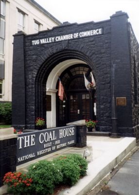
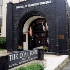
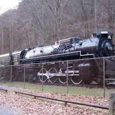
The region maintains deep connections to its coal mining heritage, with many families passing down traditions rooted in generations of miners. Visitors can feel this history woven into how people shape their community and honor their work.

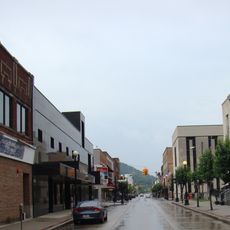
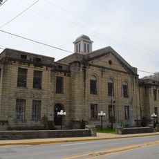
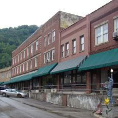
Williamson serves as the county seat and primary hub for services and community activities that visitors can access easily. The area is reachable via major routes that wind through the mountainous landscape.

The Buffalo Mountain ATV Trail System draws visitors looking to explore the mountainous terrain through an extensive network of designated paths. These routes connect outdoor recreation with the region's natural topography.

Location: West Virginia

Inception: January 30, 1895

Capital city: Williamson

Shares border with: Lincoln County, Logan County, Wyoming County, McDowell County, Pike County, Martin County, Wayne County, Buchanan County

Website: http://mingocountywv.com

GPS coordinates: 37.73000,-82.14000

Latest update: December 20, 2025 00:55

Photos
Around this place
Coal House
United States of America

Coal House

13.7 km
Chief Logan State Park
United States of America

Chief Logan State Park

21.2 km
Cabwaylingo State Forest
United States of America

Cabwaylingo State Forest

33.5 km
Chesapeake and Ohio 2755
United States of America

Chesapeake and Ohio 2755

21.5 km
United States of America

Williamson Field House

14.6 km
United States of America

Elven C. Smith House

13.5 km
Martin Himler House
United States of America

Martin Himler House

29.1 km
United States of America

R. T. Price House

15.4 km
Williamson Historic District
United States of America

Williamson Historic District

13.4 km
Martin County Courthouse
United States of America

Martin County Courthouse

38.2 km
Matewan Depot Replica Welcome Center and Museum
United States of America

Matewan Depot Replica Welcome Center and Museum

12.2 km
Matewan Historic District
United States of America

Matewan Historic District

12.2 km
United States of America

R D Bailey Lake Wildlife Management Area

41.3 km
United States of America

Horse Creek Public Fishing Area

41.7 km
United States of America

Chafin House

18.6 km
United States of America

Amherst Theatre

31.6 km
United States of America

Blair Mountain

29 km
Mountaineer Hotel
United States of America

Mountaineer Hotel

13.7 km
United States of America

Logan Country Club Golf Course

28.7 km
United States of America

Riverview Country Club

41.8 km
United States of America

Clear Fork Valley Golf Course

41.9 km
United States of America

Triadelphia Country Club Golf Course

24.2 km
United States of America

Tug Valley Country Club

11.8 km
United States of America

Twisted Gun Golf Club

22.1 km
United States of America

Hatfield McCoy Feud Site Tours

12.2 km
United States of America

AirBoat Rides and Tours

12.1 km

Delbarton Opry House

4.4 km
United States of America

Chesapeake and Ohio Railway 2755

21.4 km
Show the full map
Reviews

Visited this place? Tap the stars to rate it and share your experience / photos with the community! Try now! You can cancel it anytime.

« Mingo County - County in southwestern West Virginia, United States » is provided by Around Us (aroundus.com). Images and texts are derived from Wikimedia project under a Creative Commons license. You are allowed to copy, distribute, and modify copies of this page, under the conditions set by the license, as long as this note is clearly visible.

Discover hidden gems everywhere you go!

From secret cafés to breathtaking viewpoints, skip the crowded tourist spots and find places that match your style. Our app makes it easy with voice search, smart filtering, route optimization, and insider tips from travelers worldwide. Download now for the complete mobile experience.

Around Us App Screenshot

A unique approach to discovering new places

Le Figaro

All the places worth exploring

France Info

A tailor-made excursion in just a few clicks

20 Minutes