Enable Location

We need your location to show you interesting places around you

Discover nearby places

Find interesting locations and hidden gems around you

Precise directions

Get accurate directions and distances to places

Your location is never shared with other users. It's only used when you tap the location button.

Oregon County

Log in to your account

Start exploring — it's free

Trusted by 61,978 travelers worldwide

Continue with Google
Continue with Apple
or

We will send you a code to connect

By continuing, you accept our Terms and Conditions and our Privacy Policy

Check your inbox

We've sent a pincode in your inbox. Please enter the code below.

Oregon County, County in southern Missouri, United States.

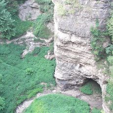
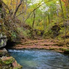
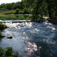
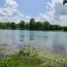
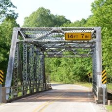
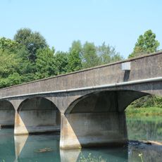
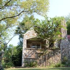
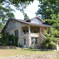
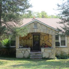
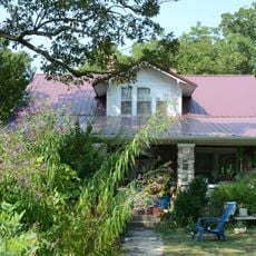
Oregon County spreads across southern Missouri as a county characterized by rolling hills, extensive forests, and river systems running through its landscape. The terrain features wooded areas interspersed with open fields and multiple waterways that define its geography.

Oregon County was established in 1845 as part of Missouri's expansion and administrative reorganization. The county's creation occurred during a broader period when the United States was organizing territories in the West.

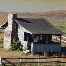
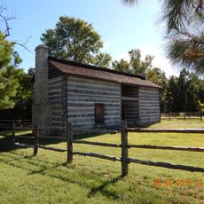
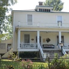
Rural farming and hunting traditions shape how people in the area live and work together. The connection to rivers and forests runs deep in daily life, reflecting centuries of living closely with the land.

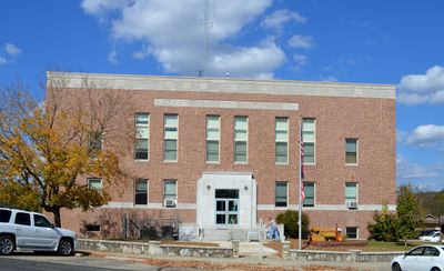
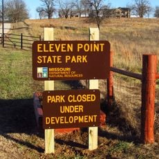
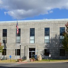
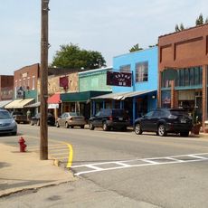
Most county services and official business are handled in Alton, the county seat. Roads can wind through hilly terrain, so drive carefully and allow extra time for travel between distant locations.

The name was chosen to reference the distant western state of Oregon, reflecting the era's vision of westward expansion. Settlers in Missouri named this new county after a place many would never see, capturing the spirit of the expanding nation.

The community of curious travelers

AroundUs brings together thousands of curated places, local tips, and hidden gems, enriched daily by 60,000 contributors worldwide.

Start exploring
Location
Inception
1845
Capital city
Alton
Shares border with
Shannon County, Carter County, Ripley County, Howell County, Fulton County, Sharp County, Randolph County
GPS coordinates
36.69000,-91.40000
Latest update
December 7, 2025 19:31
Around this place
Mammoth Spring
United States of America

Mammoth Spring

24.6 km
Grand Gulf State Park
United States of America

Grand Gulf State Park

27.2 km
Greer Spring
United States of America

Greer Spring

11.7 km
Mammoth Spring State Park
United States of America

Mammoth Spring State Park

24.8 km
Mammoth Spring State Park
United States of America

Mammoth Spring State Park

24.8 km
Eleven Point State Park
United States of America

Eleven Point State Park

21.7 km
AR 289 Bridge Over English Creek
United States of America

AR 289 Bridge Over English Creek

30.9 km
David L. King House
United States of America

David L. King House

42.2 km
United States of America

Mount Zion Lodge Masonic Temple

40.4 km
Courthouse Square Historic District
United States of America

Courthouse Square Historic District

40.6 km
Esther Locke House
United States of America

Esther Locke House

42.1 km
Hillyard Cabin
United States of America

Hillyard Cabin

39.9 km
Carrie Tucker House
United States of America

Carrie Tucker House

42.3 km
Spring River Bridge
United States of America

Spring River Bridge

26.2 km
Rice-Upshaw House
United States of America

Rice-Upshaw House

39.4 km
Sherman Bates House
United States of America

Sherman Bates House

42.2 km
Saint Andrew's Episcopal Church
United States of America

Saint Andrew's Episcopal Church

24.7 km
Fred Carter House
United States of America

Fred Carter House

42 km
Hardy Downtown Historic District
United States of America

Hardy Downtown Historic District

42.3 km
United States of America

Yadkin Church

37.2 km
Looney-French House
United States of America

Looney-French House

41 km
Lee Weaver House
United States of America

Lee Weaver House

42.2 km
William Shaver House
United States of America

William Shaver House

42 km
Woodland Courts
United States of America

Woodland Courts

42.2 km
T.H. Morris House
United States of America

T.H. Morris House

25.2 km
Silas Sherrill House
United States of America

Silas Sherrill House

42.1 km
Baldy Lookout Tower
United States of America

Baldy Lookout Tower

34.1 km
Possum Trot Lookout
United States of America

Possum Trot Lookout

27.2 km
Show the full map
Administrative divisions
« Oregon County - County in southern Missouri, United States » is provided by Around Us (aroundus.com). Images and texts are derived from Wikimedia project under a Creative Commons license. You are allowed to copy, distribute, and modify copies of this page, under the conditions set by the license, as long as this note is clearly visible.

Discover hidden gems everywhere you go!

From secret cafés to breathtaking viewpoints, skip the crowded tourist spots and find places that match your style. Our app makes it easy with voice search, smart filtering, route optimization, and insider tips from travelers worldwide. Download now for the complete mobile experience.

Around Us App Screenshot

A unique approach to discovering new places

Le Figaro

All the places worth exploring

France Info

A tailor-made excursion in just a few clicks

20 Minutes

Around Us
Travel Guide & Maps
Download

Send to your phone

QR Code
1

Open the camera app on your mobile.

2

Point at the QR code with your camera. A notification will appear.

3

Tap the notification to open the link.