Chest opened
+${chestReward.xp} XP
Explorer
NOUVEAU ×${chestReward.collectible.quantity}
tapez pour fermer
Chest locked

Open chests in the app

Around Us is built for your phone — chests unlock when you walk, explore and capture nearby places.

Enable Location

We need your location to show you interesting places around you

Discover nearby places

Find interesting locations and hidden gems around you

Precise directions

Get accurate directions and distances to places

Your location is never shared with other users. It's only used when you tap the location button.

Bloomfield

Log in to your account

Start exploring — it's free

Trusted by 72,881 travelers worldwide

Continue with Google
Continue with Apple
or

We will send you a code to connect

By continuing, you accept our Terms and Conditions and our Privacy Policy

Check your inbox

We've sent a pincode in your inbox. Please enter the code below.

Discussion Reviews 3 Photos
51.1k Popularity

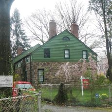
Bloomfield, Administrative division in Bloomfield, Connecticut.

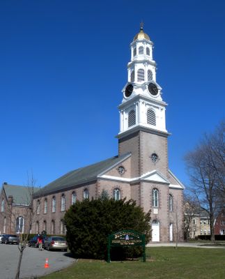
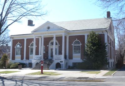
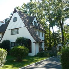
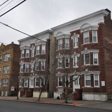
Bloomfield is a township in Essex County, New Jersey, comprising residential neighborhoods and business districts spread across multiple square miles. The administrative center provides essential public services to its residents.

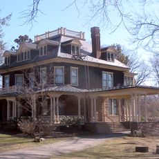
The township was established in 1812 and evolved from a rural settlement into an urban administrative center over nearly two centuries. Its government structure expanded to meet the changing needs of the growing population.

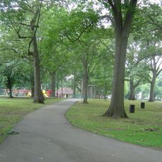
The township serves as a community hub where residents gather for local events and public meetings throughout the year. These gatherings bring together people from different neighborhoods to share in civic life.

Residents can visit Town Hall during business hours for administrative matters and permit applications. Emergency services operate continuously and can be reached through standard emergency channels at any time.

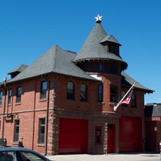
The township uses a hybrid approach combining full-time professional staff with trained volunteers for emergency response and rescue services. This model allows for rapid reaction across the entire community at all hours.

The community of curious travelers

AroundUs brings together thousands of curated places, local tips, and hidden gems, enriched daily by 60,000 contributors worldwide.

Start exploring
Location
Elevation above the sea
53 m
Shares border with
Clifton, Newark, Montclair, East Orange, Nutley, Belleville, Glen Ridge
GPS coordinates
40.80667,-74.18556
Latest update
December 17, 2025 07:39
Around this place
Branch Brook Park
United States of America

Branch Brook Park

4.1 km
Edgemont Memorial Park
United States of America

Edgemont Memorial Park

2.6 km
Watsessing Splash Park
United States of America

Watsessing Splash Park

3.3 km
The House that Lives
United States of America

The House that Lives

3.4 km
The Anchorage
United States of America

The Anchorage

3.7 km
United States of America

Watsessing Park

2.5 km
Sydenham House
United States of America

Sydenham House

3.5 km
Glenfield Park, New Jersey
United States of America

Glenfield Park, New Jersey

2.2 km
Bloomfield Green Historic District
United States of America

Bloomfield Green Historic District

1.4 km
Yantacaw Brook
United States of America

Yantacaw Brook

3.7 km
Glen Ridge Historic District
United States of America

Glen Ridge Historic District

1.9 km
United States of America

Essex Park, New Jersey

2.5 km
Free Public Library, Upper Montclair Branch
United States of America

Free Public Library, Upper Montclair Branch

4.2 km
Freeman Parkway Bridge
United States of America

Freeman Parkway Bridge

1.9 km
Post Office Building, Upper Montclair
United States of America

Post Office Building, Upper Montclair

4.3 km
Cliffside Hose Company No. 4
United States of America

Cliffside Hose Company No. 4

4.2 km
Bradner's Pharmacy
United States of America

Bradner's Pharmacy

3.1 km
Pine Street Historic District
United States of America

Pine Street Historic District

1.9 km
Oakes Estate
United States of America

Oakes Estate

971 m
United States of America

Empire Theatre

1.8 km
United States of America

Multi-Media Arts Center

1.9 km
United States of America

Hendricks Pond

2.1 km
United States of America

Upper Montclair Country Club

4.2 km
United States of America

Forest Hills Field Club

822 m
United States of America

Glen Ridge Country Club

1.7 km
United States of America

Hendricks Field Golf Course

2.1 km
United States of America

Work of art

811 m
United States of America

Scenic viewpoint

2.7 km
Show the full map
Reviews
Share your experience

No review yet

Discussions
Start a discussion...

No discussion yet

« Bloomfield - Administrative division in Bloomfield, Connecticut » is provided by Around Us (aroundus.com). Images and texts are derived from Wikimedia project under a Creative Commons license. You are allowed to copy, distribute, and modify copies of this page, under the conditions set by the license, as long as this note is clearly visible.

Discover hidden gems everywhere you go!

From secret cafés to breathtaking viewpoints, skip the crowded tourist spots and find places that match your style. Our app makes it easy with voice search, smart filtering, route optimization, and insider tips from travelers worldwide. Download now for the complete mobile experience.

Around Us App Screenshot

A unique approach to discovering new places

Le Figaro

All the places worth exploring

France Info

A tailor-made excursion in just a few clicks

20 Minutes

Around Us
Travel Guide & Maps
Download

Send to your phone

QR Code
1

Open the camera app on your mobile.

2

Point at the QR code with your camera. A notification will appear.

3

Tap the notification to open the link.