
South Hampton, town in New Hamsphire
Location: Rockingham County
Elevation above the sea: 61 m
GPS coordinates: 42.88083,-70.96250
Latest update: March 8, 2025 02:35
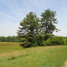
Maudslay State Park
7.3 km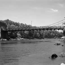
Chain Bridge
6.9 km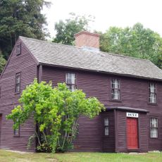
Macy-Colby House
4.7 km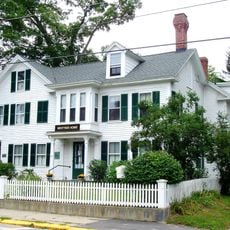
John Greenleaf Whittier House
3.6 km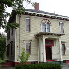
Bartlett Museum, Inc.
4.8 km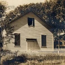
Amesbury Friends Meeting House
3.5 km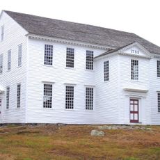
Rocky Hill Meeting House
5.4 km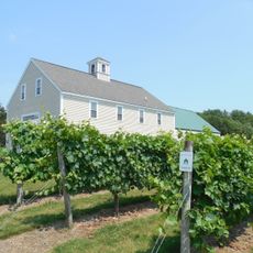
Jewell Towne Vineyards
1.1 km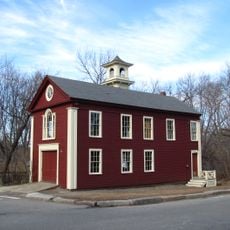
Rocks Village Historic District
8.6 km
Amesbury and Salisbury Mills Village Historic District
3.6 km
Ephraim Davis House
8.5 km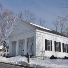
Unitarian Church
8.3 km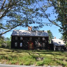
Rev. John Tufts House
8.1 km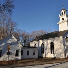
Union Congregational Church
5.4 km
Highland Road Historic District
2.8 km
Jewell Town District
1 km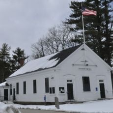
Kensington Town House
5.8 km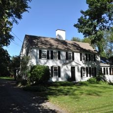
Timothy Morse House
8.2 km
Smith's Corner Historic District
2.6 km
Woodman Road Historic District
2 km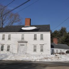
Capt. Jonathan Currier House
3.3 km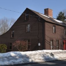
Greeley House
5.3 km
Kensington Social Library
5.5 km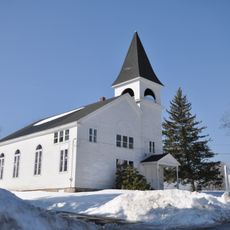
Town Center Historic District
55 m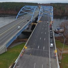
John Greenleaf Whittier Bridge
6.6 km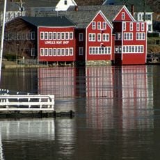
Lowell's Boat Shop
5.8 km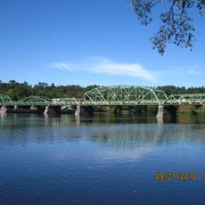
Rocks Village Bridge
8.4 km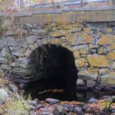
Hampton Falls River Bridge
8.3 kmReviews
Visited this place? Tap the stars to rate it and share your experience / photos with the community! Try now! You can cancel it anytime.
Discover hidden gems everywhere you go!
From secret cafés to breathtaking viewpoints, skip the crowded tourist spots and find places that match your style. Our app makes it easy with voice search, smart filtering, route optimization, and insider tips from travelers worldwide. Download now for the complete mobile experience.

A unique approach to discovering new places❞
— Le Figaro
All the places worth exploring❞
— France Info
A tailor-made excursion in just a few clicks❞
— 20 Minutes