
Hebron, town in Grafton County, New Hampshire, USA
Location: Grafton County
Inception: 1792
Elevation above the sea: 190 m
Website: http://hebronnh.org
GPS coordinates: 43.69361,-71.80667
Latest update: March 7, 2025 20:32
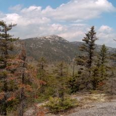
Mount Cardigan
10 km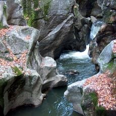
Sculptured Rocks Natural Area
4.1 km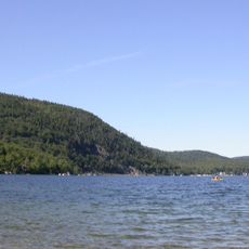
Wellington State Park
11.6 km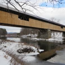
Blair Bridge
17.2 km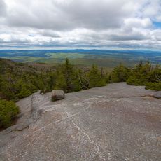
Cardigan Mountain State Park
11.6 km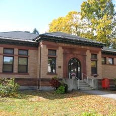
Gordon-Nash Library
15.8 km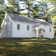
Dana Meeting House
15.1 km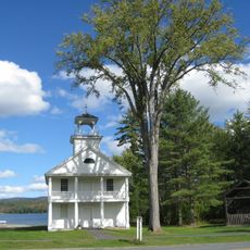
Canaan Street Historic District
19.2 km
Bristol Town Hall
12.6 km
Whipple House
14 km
First Free Will Baptist Church and Vestry
14 km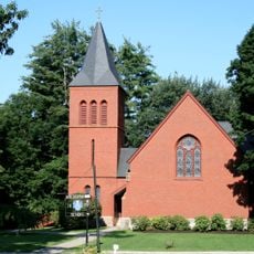
Chapel of the Holy Cross
12.8 km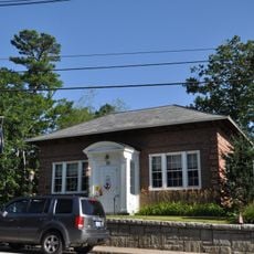
Holderness Free Library
18.1 km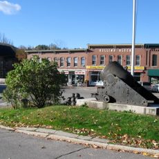
Central Square Historic District
12.7 km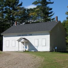
New Hampton Town House
16.3 km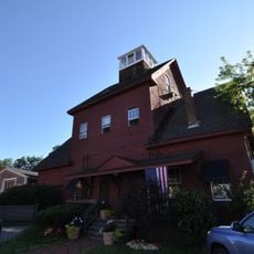
Ashland Gristmill and Dam
14.2 km
Dorchester Common Historic District
13.5 km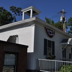
Old Grafton County Courthouse
11.9 km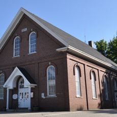
Ashland Town Hall
14 km
Shepard Hill Historic District
19.3 km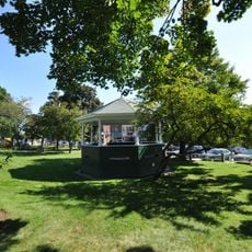
Plymouth Historic District
11.9 km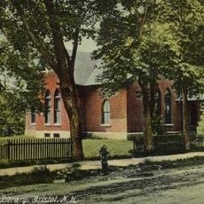
Minot-Sleeper Library
12.7 km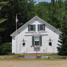
North Holderness Freewill Baptist Church-Holderness Historical Society Building
16.6 km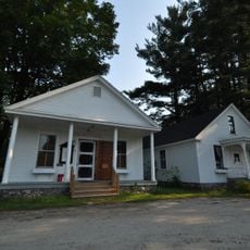
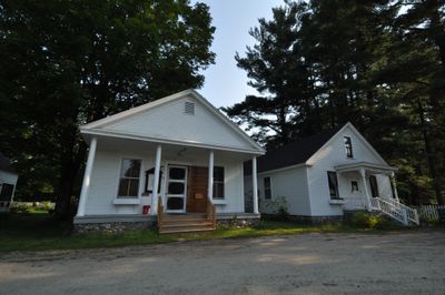
Hebron Village Historic District
74 m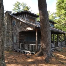
Owls Head
2.2 km
Murray Hill Summer Home District
17.1 km
Washington Mooney House
16 km
Ashland
14 kmVisited this place? Tap the stars to rate it and share your experience / photos with the community! Try now! You can cancel it anytime.
Discover hidden gems everywhere you go!
From secret cafés to breathtaking viewpoints, skip the crowded tourist spots and find places that match your style. Our app makes it easy with voice search, smart filtering, route optimization, and insider tips from travelers worldwide. Download now for the complete mobile experience.

A unique approach to discovering new places❞
— Le Figaro
All the places worth exploring❞
— France Info
A tailor-made excursion in just a few clicks❞
— 20 Minutes