
Betterton, town in Kent County, Maryland, United States
Location: Kent County
Elevation above the sea: 22 m
Website: https://townofbetterton.com
GPS coordinates: 39.36722,-76.06306
Latest update: March 4, 2025 22:35

Elk Neck State Park
14.7 km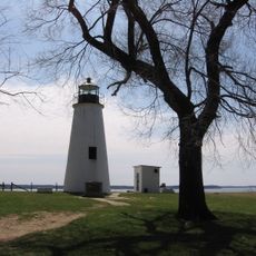
Turkey Point Light
10.3 km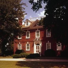
Mount Harmon
10.6 km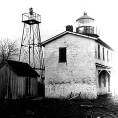
Fishing Battery Light
14.3 km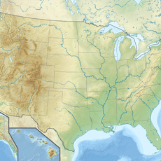
Susquehanna River National Wildlife Refuge
14.3 km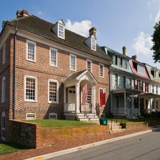
Chestertown Historic District
17.2 km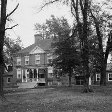
Greenfields
17.2 km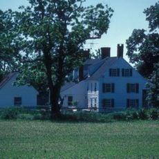
Shepherd's Delight
7.8 km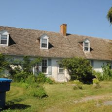
White House Farm
10.1 km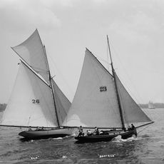
Elf
15.2 km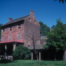
Knocks Folly
7 km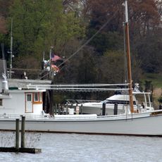
Nellie Crockett
15.6 km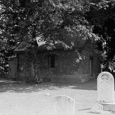
St. George's Parish Vestry House
17 km
Britannia
15 km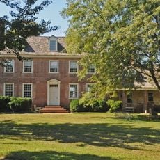
Thornton
11.2 km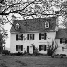
Carvill Hall
16.9 km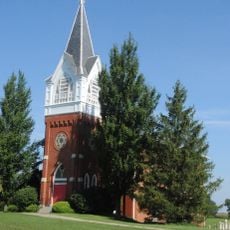
Still Pond Historic District
4.6 km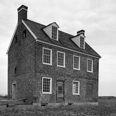
Chesterville Brick House
16.2 km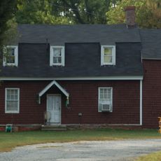
Poplar Hill
17.1 km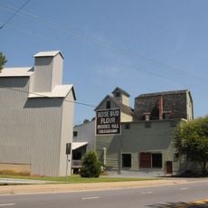
Radcliffe Mill
16.5 km
Hebron
5.3 km
Woodland Hall
10.8 km
Hopeful Unity
8.2 km
Valley Cottage
15.7 km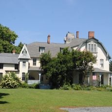
Lauretum
16.6 km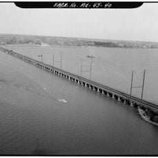
Bush River Bridge
17.3 km
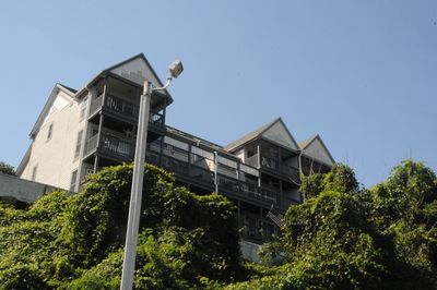
Betterton Historic District
143 m
Middle, East and West Halls
16.7 kmReviews
Visited this place? Tap the stars to rate it and share your experience / photos with the community! Try now! You can cancel it anytime.
Discover hidden gems everywhere you go!
From secret cafés to breathtaking viewpoints, skip the crowded tourist spots and find places that match your style. Our app makes it easy with voice search, smart filtering, route optimization, and insider tips from travelers worldwide. Download now for the complete mobile experience.

A unique approach to discovering new places❞
— Le Figaro
All the places worth exploring❞
— France Info
A tailor-made excursion in just a few clicks❞
— 20 Minutes