Enable Location

We need your location to show you interesting places around you

Discover nearby places

Find interesting locations and hidden gems around you

Precise directions

Get accurate directions and distances to places

Your location is never shared with other users. It's only used when you tap the location button.

Kent County

Log in to your account

Start exploring — it's free

Trusted by 61,647 travelers worldwide

Continue with Google
Continue with Apple
or

We will send you a code to connect

By continuing, you accept our Terms and Conditions and our Privacy Policy

Check your inbox

We've sent a pincode in your inbox. Please enter the code below.

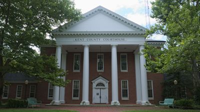
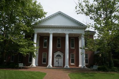
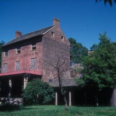
Kent County, County administrative division in Maryland Eastern Shore, United States.

Description

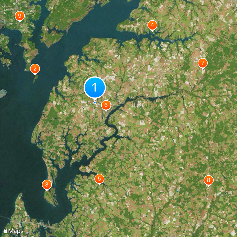
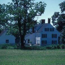
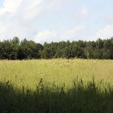
Kent County is an administrative area on Maryland's Eastern Shore, with Chestertown serving as its main town. The landscape is flat and characterized by rural settings, small communities, and waterways that shape the region.

History

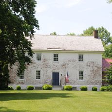
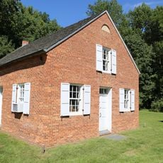
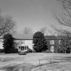
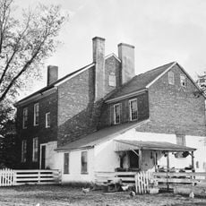
The area was founded in 1642 as one of the earliest colonial administrative regions in the territory. Over the centuries, it developed into a rural center focused on farming and water-based commerce.

Culture

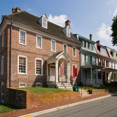
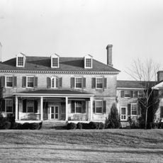
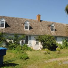
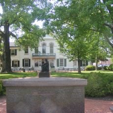
The county is made up of small towns like Chestertown, Galena, and Rock Hall, each reflecting rural traditions and ways of life. People gather in local shops and public spaces, keeping community bonds and local customs alive in their daily routines.

Practical

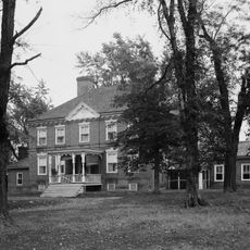
The area is sparsely populated with public services centered in the towns. Getting around is easiest by car since distances between communities are spread out and public transit is limited.

Did you know?

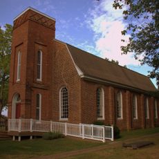
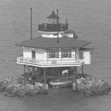
The region was historically a key port for merchant sailors and watermen who traded along the rivers. This maritime heritage remains visible today in waterfront towns like Rock Hall, where boats and water-based work are still part of daily life.

Location
Inception
1642
Capital city
Chestertown
Elevation above the sea
19 m
Part of
Eastern Shore of Maryland
Shares border with
Cecil County, New Castle County, Kent County, Queen Anne's County, Anne Arundel County, Harford County, Baltimore County
GPS coordinates
39.23000,-76.10000
Latest update
December 20, 2025 13:27

AroundUs brings together thousands of curated places, local tips, and hidden gems, enriched daily by 60,000 contributors worldwide. Discover all places nearby (Maryland).

« Kent County - County administrative division in Maryland Eastern Shore, United States » is provided by Around Us (aroundus.com). Images and texts are derived from Wikimedia project under a Creative Commons license. You are allowed to copy, distribute, and modify copies of this page, under the conditions set by the license, as long as this note is clearly visible.

Discover hidden gems everywhere you go!

From secret cafés to breathtaking viewpoints, skip the crowded tourist spots and find places that match your style. Our app makes it easy with voice search, smart filtering, route optimization, and insider tips from travelers worldwide. Download now for the complete mobile experience.

Around Us App Screenshot

A unique approach to discovering new places

Le Figaro

All the places worth exploring

France Info

A tailor-made excursion in just a few clicks

20 Minutes

Around Us
Travel Guide & Maps
Download

Send to your phone

QR Code
1

Open the camera app on your mobile.

2

Point at the QR code with your camera. A notification will appear.

3

Tap the notification to open the link.