
Lock and Dam No. 16, Lock and dam infrastructure in Sweetland and Drury Townships, United States.
Lock and Dam No. 16 maintains navigation channels on the Mississippi River with its concrete structure spanning 167 meters in elevation.
The United States Army Corps of Engineers constructed this water management system to improve shipping capabilities along the Mississippi River during the industrial expansion.
The National Register of Historic Places recognizes this engineering achievement for its influence on regional transportation and economic development.
Commercial vessels and recreational boats navigate through the lock system daily, maintaining consistent water levels for safe river passage.
The dual-township location of this infrastructure demonstrates the extensive planning required to manage Mississippi River transportation systems effectively.
Location: Sweetland Township
Location: Drury Township
Architects: United States Army Corps of Engineers
Elevation above the sea: 167 m
GPS coordinates: 41.42700,-91.01050
Latest update: March 6, 2025 09:16

Wildcat Den State Park
11.7 km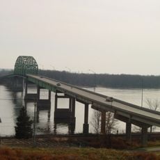
Norbert F. Beckey Bridge
2 km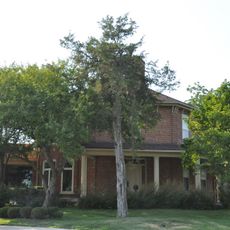
Sinnett Octagon House
3.3 km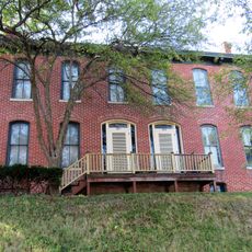
Alexander Clark House
3.2 km
Trinity Episcopal Church
2.7 km
Muscatine County Courthouse
2.7 km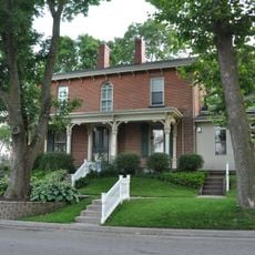
Pliny and Adelia Fay House
3.5 km
St. Paul's Episcopal Church
20.8 km
Pine Mills German Methodist Episcopal Church
12.4 km
W. Joseph Fuller House
3.1 km
Clark-Blackwell House
3.7 km
First Presbyterian Church
3.1 km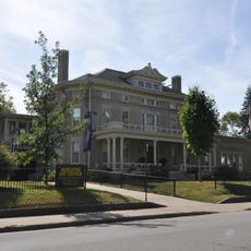
Laura Musser McColm Historic District
3.5 km
Fair Oaks Historic District
1.8 km
West Hill Historic District
3.5 km
Downtown Commercial Historic District
3 km
Greenwood Cemetery Chapel
4.5 km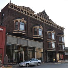
Welch Apartments
3.1 km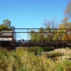
Pine Mill Bridge
12.8 km
J. C. B. Warde House
3.7 km
Samuel Nichols House
23.4 km
Muscatine County Home Dairy Barn
6.3 km
S. M. McKibben House
2.7 km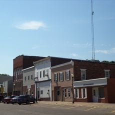
Wilton Commercial Historic District
18 km
Henry E. and Ella M. Nicolaus House
18.1 km
Doctor Alexander R. and Louisa J. Leith House
18.1 km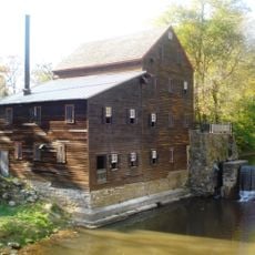
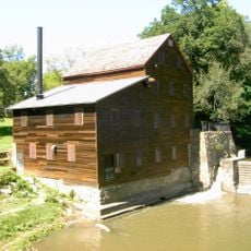
Pine Creek Gristmill
12.8 km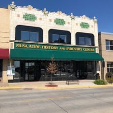
Pearl Bottom Museum
3.1 kmReviews
Visited this place? Tap the stars to rate it and share your experience / photos with the community! Try now! You can cancel it anytime.
Discover hidden gems everywhere you go!
From secret cafés to breathtaking viewpoints, skip the crowded tourist spots and find places that match your style. Our app makes it easy with voice search, smart filtering, route optimization, and insider tips from travelers worldwide. Download now for the complete mobile experience.

A unique approach to discovering new places❞
— Le Figaro
All the places worth exploring❞
— France Info
A tailor-made excursion in just a few clicks❞
— 20 Minutes