
City View, census designated place in Greenville County, South Carolina, United States
Location: Greenville County
Elevation above the sea: 302 m
GPS coordinates: 34.86222,-82.42667
Latest update: March 31, 2025 03:02

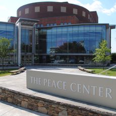
Peace Center
2.9 km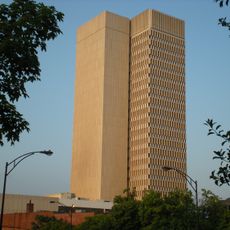
Landmark Building
2.8 km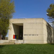
Greenville County Museum of Art
2.5 km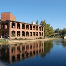
Wyche Pavilion
2.9 km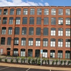
Brandon Mill
2.1 km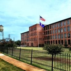
Monaghan Mill
547 m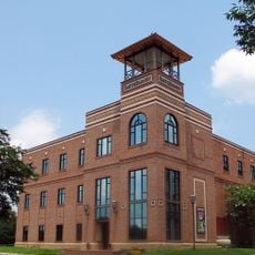
Centre Stage
2.6 km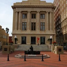
Greenville County Courthouse
2.8 km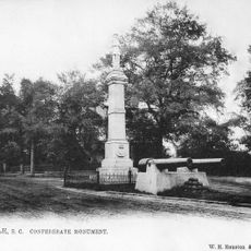
Confederate Monument
2.9 km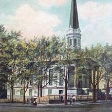
Downtown Baptist Church
2.5 km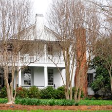
Whitehall
2.2 km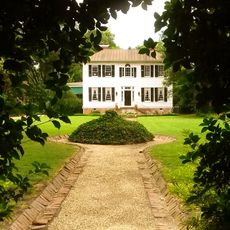
Earle Town House
1.8 km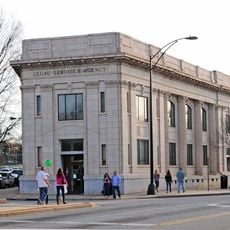
West End Commercial Historic District
2.8 km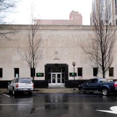
First National Bank
2 km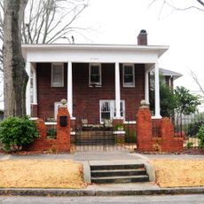
Col. Elias Earle Historic District
2.3 km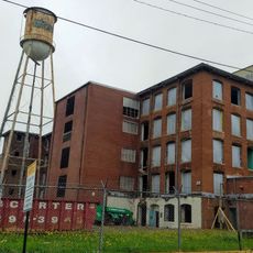
American Spinning Company Mill No. 2
1.8 km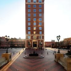
Chamber of Commerce Building
2.9 km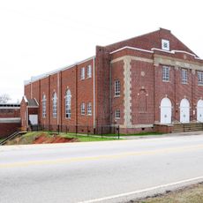
Parker High School Auditorium
1.1 km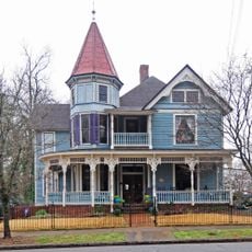
Hampton-Pinckney Historic District
2 km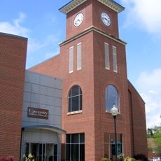
Upcountry History Museum
2.2 km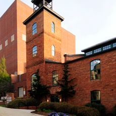
Reedy River Industrial District
2.9 km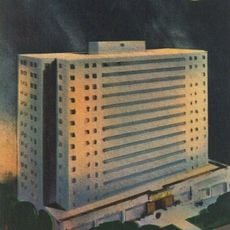
Calhoun Towers (Greenville)
2.8 km
Escape Ballroom
1.5 km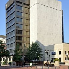
City Hall (Greenville, SC)
2.8 km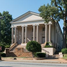
Buncombe Street United Methodist Church
2.6 km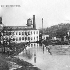
Huguenot Mill (Greenville)
2.8 km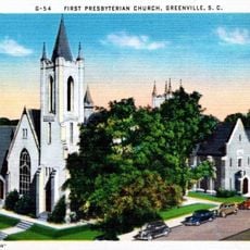
First Presbyterian Church
2.6 km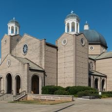
Saint George Cathedral (Greenville, South Carolina)
2.6 kmReviews
Visited this place? Tap the stars to rate it and share your experience / photos with the community! Try now! You can cancel it anytime.
Discover hidden gems everywhere you go!
From secret cafés to breathtaking viewpoints, skip the crowded tourist spots and find places that match your style. Our app makes it easy with voice search, smart filtering, route optimization, and insider tips from travelers worldwide. Download now for the complete mobile experience.

A unique approach to discovering new places❞
— Le Figaro
All the places worth exploring❞
— France Info
A tailor-made excursion in just a few clicks❞
— 20 Minutes