
California, town in Missouri, United States
Location: Moniteau County
Inception: 1848
Elevation above the sea: 272 m
Website: http://cityofcalifornia.net
GPS coordinates: 38.63000,-92.56830
Latest update: March 8, 2025 23:40
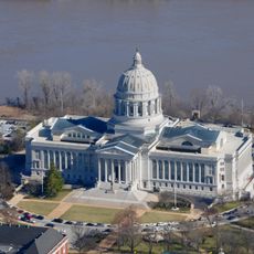
Missouri State Capitol
34.9 km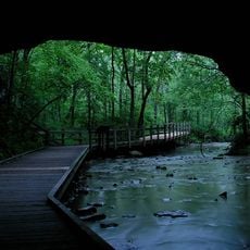
Rock Bridge Memorial State Park
34.6 km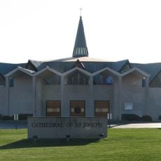
Cathedral of Saint Joseph
31.4 km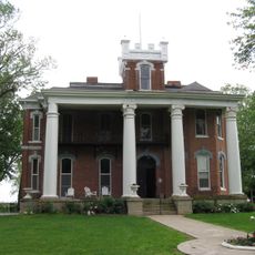
Ravenswood
31.7 km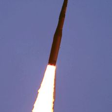
508th Missile Squadron
19.2 km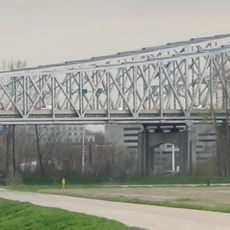
Jefferson City Bridge
34.2 km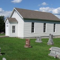
Bond's Chapel Methodist Episcopal Church
26.2 km
William B. Hunt House
33.2 km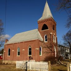
Zion Lutheran Church
29.4 km
Philip Hess House
34.4 km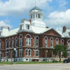
Morgan County Courthouse
33.2 km
Villa Panorama
33.4 km
William E. and Frederica M. Zuendt House
34.4 km
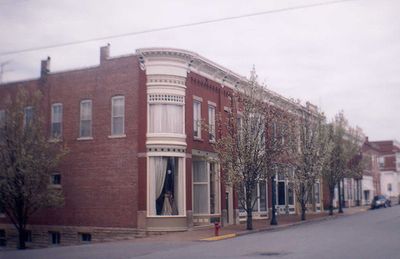
Finke Opera House
644 m
Henry and Elizabeth Bockrath House
34.3 km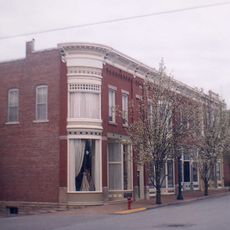
Gray-Wood Buildings
875 m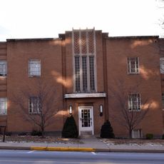
Tergin Apartment Building
34.7 km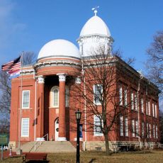
Moniteau County Courthouse Square
776 m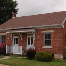
Herman Haar House
34.3 km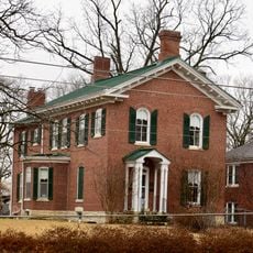
Oscar G. and Mary H. Burch House
34.4 km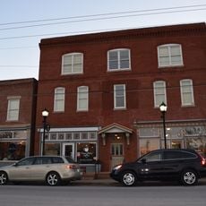
Munichburg Commercial Historic District
34.9 km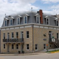
Dr. Joseph P. and Effie Porth House
34.3 km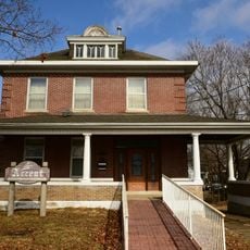
Broadway-Dunklin Historic District
34.4 km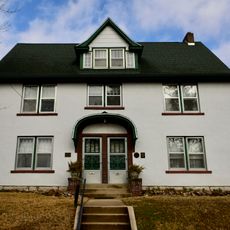
Albert and Wilhelmina Thomas House
34.5 km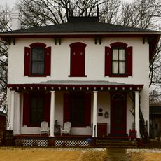
Nelson C. and Gertrude A. Burch House
34.4 km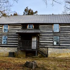
Joseph and Elizabeth Wallendorf House
27.5 km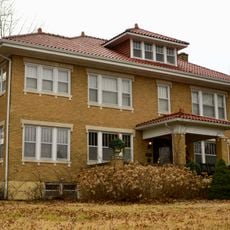
John M. and Lillian Sommerer House
32 km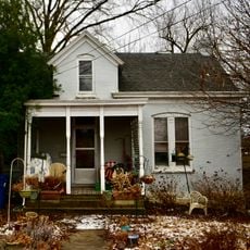
Charles J. and Clara B. Schmidt House
34.3 kmVisited this place? Tap the stars to rate it and share your experience / photos with the community! Try now! You can cancel it anytime.
Discover hidden gems everywhere you go!
From secret cafés to breathtaking viewpoints, skip the crowded tourist spots and find places that match your style. Our app makes it easy with voice search, smart filtering, route optimization, and insider tips from travelers worldwide. Download now for the complete mobile experience.

A unique approach to discovering new places❞
— Le Figaro
All the places worth exploring❞
— France Info
A tailor-made excursion in just a few clicks❞
— 20 Minutes