Cortland, County seat in Southern Tier region, New York, United States.
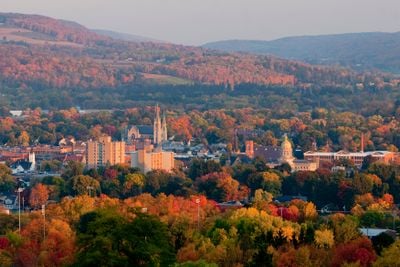
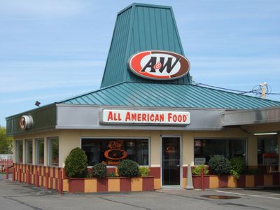
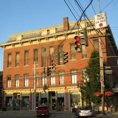
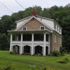
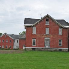
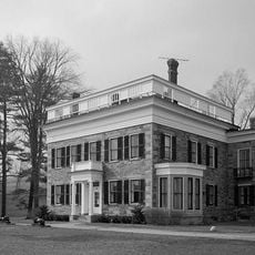
Cortland is a city in the Southern Tier region of New York set at approximately 1,130 feet elevation, nestled within the Appalachian Plateau landscape. The downtown area contains a university campus, local shops, and residential neighborhoods, with outdoor recreation areas surrounding the city.
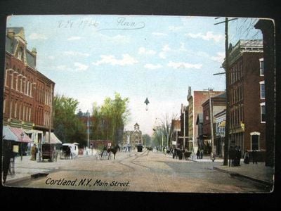
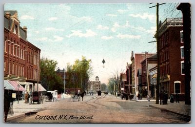
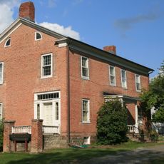
The city was founded in 1791 and named after Pierre Van Cortlandt, the first lieutenant governor of New York who played a prominent role in the state's early history. It was officially incorporated as New York's 41st city in 1900.
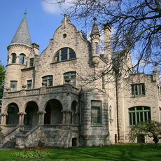
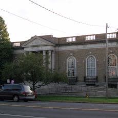
The State University of New York at Cortland shapes daily life through student presence, campus events, and research activities that draw people from surrounding areas. This institution serves as a major employer and gathering place for the region.
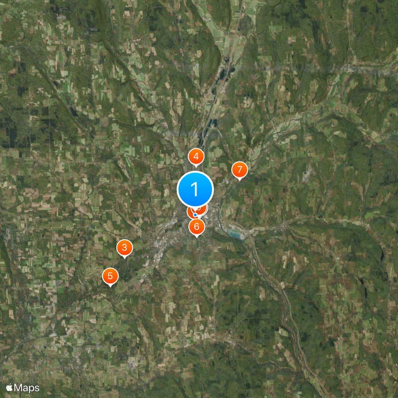
The city is accessible via several highways and local bus services, with nearby airports for visitors from farther away. Hikers and outdoor enthusiasts can explore numerous trails and parks in the surrounding area.
The city seal displays forty-one stars, with forty representing previously incorporated cities and one central star symbolizing Cortland's position as the state's 41st city. This design detail is often overlooked but admired by those interested in local history.
Location: Cortland County
Inception: 1791
Elevation above the sea: 344 m
Shares border with: Cortlandville
Website: http://cortland.org
GPS coordinates: 42.60056,-76.18139
Latest update: December 6, 2025 21:21
Fillmore Glen State Park
22.5 km
1890 House Museum
496 m
Stage Coach Inn
19 km
Old Homer Village Historic District
4 km
Randall Farm
1.7 km
Cortland County Poor Farm
4.6 km
West Dryden Methodist Episcopal Church
21.3 km
Cortland County Courthouse
409 m
First Presbyterian Church Complex
314 m
Cortland Free Library
294 m
Hatheway Homestead
13.3 km
Presbyterian Church of McGraw
7 km
Luther Clarke House
15.7 km
William J. Greenman House
499 m
Former Groton High School
15.3 km
Taylor Center Methodist Episcopal Church and Taylor District No. 3 School
21 km
Water, Wall, and Pine Streets Lenticular Truss Bridges
4.1 km
First Presbyterian Church
15.2 km
Methodist Episcopal Church
15.5 km
Peck Memorial Library
21.5 km
Southworth House
15.4 km
Dryden Historic District
15.6 km
Jennings-Marvin House
15.5 km
Southworth Library
15.6 km
Rockwell House
15.8 km
Tompkins Street–Main Street Historic District
730 m
Lacy-Van Vleet House
15.8 km
Little York Pavilion
12.4 kmReviews
Visited this place? Tap the stars to rate it and share your experience / photos with the community! Try now! You can cancel it anytime.
Discover hidden gems everywhere you go!
From secret cafés to breathtaking viewpoints, skip the crowded tourist spots and find places that match your style. Our app makes it easy with voice search, smart filtering, route optimization, and insider tips from travelers worldwide. Download now for the complete mobile experience.
A unique approach to discovering new places❞
— Le Figaro
All the places worth exploring❞
— France Info
A tailor-made excursion in just a few clicks❞
— 20 Minutes