
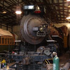
Nickel Plate Road 587
19 km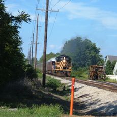
Indiana Transportation Museum
19.2 km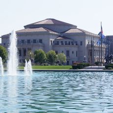
The Palladium at the Center for Performing Arts
19.9 km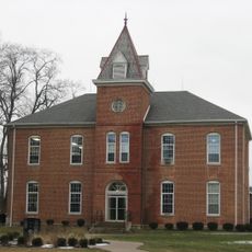
Union High Academy Historic District
13.4 km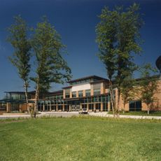
Carmel Clay Public Library
19.4 km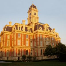
Hamilton County Courthouse
20.2 km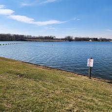
Morse Beach
16.3 km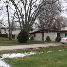
Thornhurst Addition
18.7 km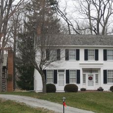
John Kinzer House
19.8 km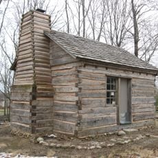
George Boxley Cabin
473 m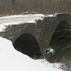
Scotland Bridge
18.6 km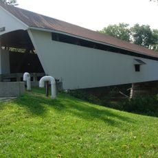
Potter's Covered Bridge
20 km
Micah Newby House
20.3 km
Dr. Samuel Harrell House
20.1 km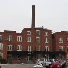
Noblesville Milling Company Mill
20.3 km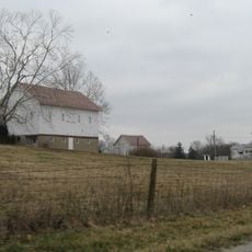
Pryor Brock Farmstead
19.7 km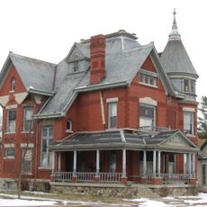
William Houston Craig House
20.5 km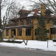
Conner Street Historic District
20.6 km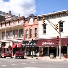
Noblesville Commercial Historic District
20.2 km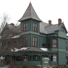
Daniel Craycraft House
20.4 km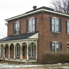
Davenport-Bradfield House
225 m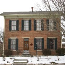
Cole-Evans House
20 km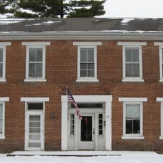
Judge Earl S. Stone House
20.2 km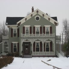
Robert L. Wilson House
20.1 km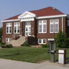
Kirklin Public Library
13.6 km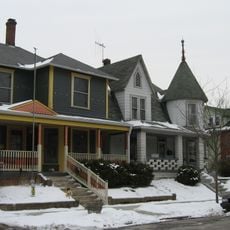
Catherine Street Historic District
20.1 km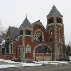
South 9th Street Historic District
20.4 km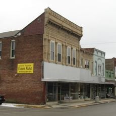
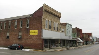
Sheridan Downtown Commercial Historic District
252 mVisited this place? Tap the stars to rate it and share your experience / photos with the community! Try now! You can cancel it anytime.
Discover hidden gems everywhere you go!
From secret cafés to breathtaking viewpoints, skip the crowded tourist spots and find places that match your style. Our app makes it easy with voice search, smart filtering, route optimization, and insider tips from travelers worldwide. Download now for the complete mobile experience.

A unique approach to discovering new places❞
— Le Figaro
All the places worth exploring❞
— France Info
A tailor-made excursion in just a few clicks❞
— 20 Minutes