
Adams, city in Minnesota, United States
Location: Mower County
Elevation above the sea: 392 m
Website: http://www.adamsminnesota.com/
Website: http://adamsminnesota.com
GPS coordinates: 43.56528,-92.71944
Latest update: March 4, 2025 22:15

Spam Museum
23.6 km
Hormel Historic Home
23.8 km
Lake Louise State Park
16 km
St. Augustine's Church
24 km
Paramount Theater
23.6 km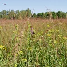
Jay C. Hormel Nature Center
21.6 km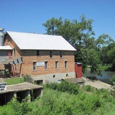
Lidtke Mill
37.3 km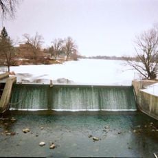
East Side Lake
22.2 km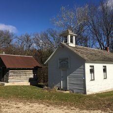
Walnut Grove School
39.9 km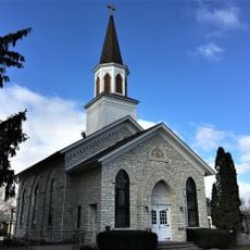
First Lutheran Church
26.5 km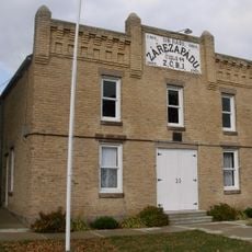
Lodge Zare Zapadu
36.6 km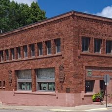
Exchange State Bank
19.7 km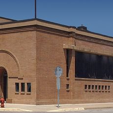
First State Bank of Le Roy
18.5 km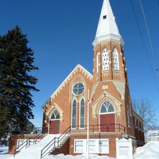
Spring Valley Methodist Episcopal Church
29.6 km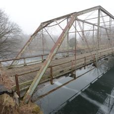
Otranto Bridge
24.3 km
Osage Commercial Historic District
32.2 km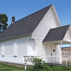
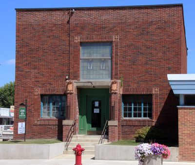
Grand Army of the Republic Hall
19.5 km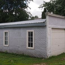
Pietenpol Workshop and Garage
34.9 km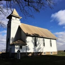
Union Presbyterian Church
12 km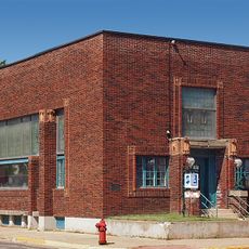
First National Bank of Adams
256 m
James C. Fellows House
26.2 km
LeRoy Public Library
18.4 km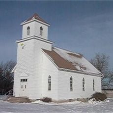
Howardville Wesleyan Church
41.7 km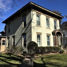
Nathaniel Cobb and Lucetia Baily Deering House
32.2 km
Hormel Historic Home
23.8 km
Mitchell County Courthouse
35.6 km
Lake Louise
16.5 km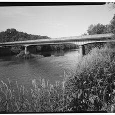
Cedar River Bridge
40.3 kmReviews
Visited this place? Tap the stars to rate it and share your experience / photos with the community! Try now! You can cancel it anytime.
Discover hidden gems everywhere you go!
From secret cafés to breathtaking viewpoints, skip the crowded tourist spots and find places that match your style. Our app makes it easy with voice search, smart filtering, route optimization, and insider tips from travelers worldwide. Download now for the complete mobile experience.

A unique approach to discovering new places❞
— Le Figaro
All the places worth exploring❞
— France Info
A tailor-made excursion in just a few clicks❞
— 20 Minutes