Chest opened
+${chestReward.xp} XP
Explorer
NOUVEAU ×${chestReward.collectible.quantity}
tapez pour fermer
Chest locked

Open chests in the app

Around Us is built for your phone — chests unlock when you walk, explore and capture nearby places.

Enable Location

We need your location to show you interesting places around you

Discover nearby places

Find interesting locations and hidden gems around you

Precise directions

Get accurate directions and distances to places

Your location is never shared with other users. It's only used when you tap the location button.

McColl

Log in to your account

Start exploring — it's free

Trusted by 72,890 travelers worldwide

Continue with Google
Continue with Apple
or

We will send you a code to connect

By continuing, you accept our Terms and Conditions and our Privacy Policy

Check your inbox

We've sent a pincode in your inbox. Please enter the code below.

Discussion Reviews 1 Photos
10.5k Popularity

McColl, Administrative division in Marlboro County, South Carolina, US.

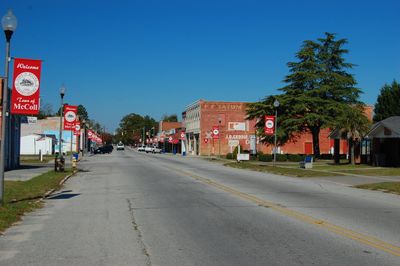
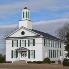
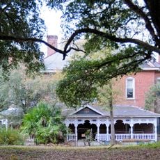
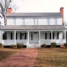
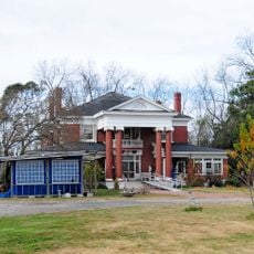
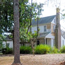
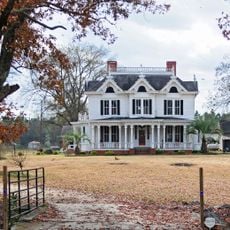
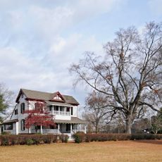
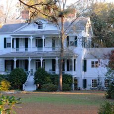
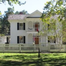
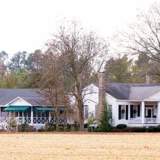
McColl is a small town in Marlboro County, South Carolina, located near the North Carolina border. The town consists of residential neighborhoods and local business areas.

The town was established in the late 1800s when railroad lines connected agricultural communities across the region. The rail station shaped its early growth and layout.

Life here centers on local gatherings and community events where neighbors connect and share news. These regular meetings create bonds that hold the town together.

Visitors can reach town administration on East Gibson Avenue for local information and assistance. The location is convenient for anyone seeking municipal services or general directions.

Multiple regional airports nearby provide air connections that exceed what you might expect from a town of this size. This infrastructure links the community to broader areas beyond the immediate surroundings.

The community of curious travelers

AroundUs brings together thousands of curated places, local tips, and hidden gems, enriched daily by 60,000 contributors worldwide.

Start exploring
GPS coordinates
34.66877,-79.54533
Latest update
December 10, 2025 15:53
Around this place
John Blue House
United States of America

John Blue House

10.7 km
E. Hervey Evans House
United States of America

E. Hervey Evans House

13.9 km
Bennettsville Historic District
United States of America

Bennettsville Historic District

13.8 km
Shaw Family Farms
United States of America

Shaw Family Farms

26.6 km
Clio Historic District
United States of America

Clio Historic District

10 km
Ashpole Presbyterian Church
United States of America

Ashpole Presbyterian Church

25.3 km
Dr. Evan Alexander Erwin House
United States of America

Dr. Evan Alexander Erwin House

20.7 km
Main Street Commercial Historic District
United States of America

Main Street Commercial Historic District

27.8 km
St. Paul's Methodist Church
United States of America

St. Paul's Methodist Church

25 km
Stewart-Hawley-Malloy House
United States of America

Stewart-Hawley-Malloy House

14.6 km
Hamer Hall
United States of America

Hamer Hall

28.5 km
Jennings-Brown House
United States of America

Jennings-Brown House

14.6 km
Villa Nova
United States of America

Villa Nova

16.1 km
Central School
United States of America

Central School

13.7 km
Magnolia House
United States of America

Magnolia House

13.3 km
James W. Hamer House
United States of America

James W. Hamer House

25.4 km
Robertson-Easterling-McLaurin House
United States of America

Robertson-Easterling-McLaurin House

19.3 km
McLaurin House
United States of America

McLaurin House

9.6 km
Mag Blue House
United States of America

Mag Blue House

11.5 km
McLaurin-Roper-McColl Farmstead
United States of America

McLaurin-Roper-McColl Farmstead

6.1 km
Manship Farmstead
United States of America

Manship Farmstead

4.8 km
Appin
United States of America

Appin

17.3 km
Maxton Historic District
United States of America

Maxton Historic District

19.5 km
Thomas J. Gill House
United States of America

Thomas J. Gill House

14 km
McRae-McQueen House
United States of America

McRae-McQueen House

10 km
Rowland Main Street Historic District
United States of America

Rowland Main Street Historic District

27.4 km
Selkirk Farm
United States of America

Selkirk Farm

22.7 km
Laurel Hill Presbyterian Church
United States of America

Laurel Hill Presbyterian Church

19.7 km
Show the full map
Reviews
Share your experience

No review yet

Discussions
Start a discussion...

No discussion yet

« McColl - Administrative division in Marlboro County, South Carolina, US » is provided by Around Us (aroundus.com). Images and texts are derived from Wikimedia project under a Creative Commons license. You are allowed to copy, distribute, and modify copies of this page, under the conditions set by the license, as long as this note is clearly visible.

Discover hidden gems everywhere you go!

From secret cafés to breathtaking viewpoints, skip the crowded tourist spots and find places that match your style. Our app makes it easy with voice search, smart filtering, route optimization, and insider tips from travelers worldwide. Download now for the complete mobile experience.

Around Us App Screenshot

A unique approach to discovering new places

Le Figaro

All the places worth exploring

France Info

A tailor-made excursion in just a few clicks

20 Minutes

Around Us
Travel Guide & Maps
Download

Send to your phone

QR Code
1

Open the camera app on your mobile.

2

Point at the QR code with your camera. A notification will appear.

3

Tap the notification to open the link.