
Chesterfield, town in Chesterfield County, South Carolina, United States
Location: Chesterfield County
Elevation above the sea: 89 m
Website: http://chesterfield-sc.com
GPS coordinates: 34.73361,-80.08889
Latest update: March 6, 2025 12:26
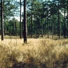
Carolina Sandhills National Wildlife Refuge
21.3 km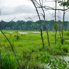
Pee Dee National Wildlife Refuge
39.1 km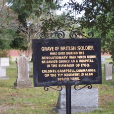
St. David's Episcopal Church and Cemetery
19.6 km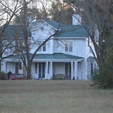
Covington Plantation House
31.8 km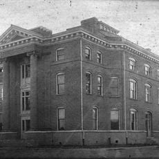
Rockingham County Courthouse
36.7 km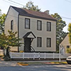
Boggan-Hammond House and Alexander Little Wing
25.8 km
Pegues Place
17.9 km
Robert Smalls School
19.1 km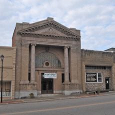
Main Street Commercial Historic District
39.3 km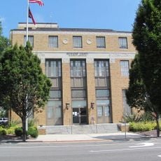
U. S. Post Office and Federal Building
36.6 km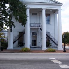
Cheraw Historic District
18.9 km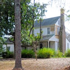
Robertson-Easterling-McLaurin House
31.1 km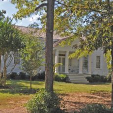
Barrett-Faulkner House
27.6 km
Bank of Pee Dee Building
36.8 km
Wadesboro Downtown Historic District
25.9 km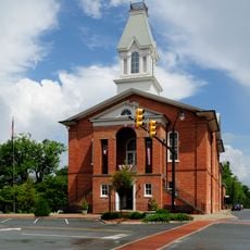
East Main Street Historic District (Chesterfield, South Carolina)
608 m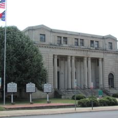
Richmond County Courthouse
36.7 km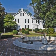
Rockingham Historic District
37.7 km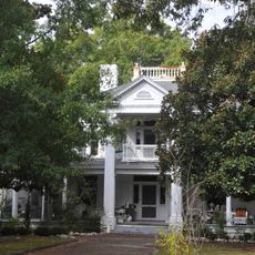
H. C. Watson House
36.1 km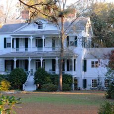
Appin
36.9 km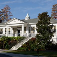
Lawton Park and Pavilion
39.2 km
Manufacturers Building
36.8 km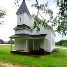
West Main Street Historic District (Chesterfield, South Carolina)
410 m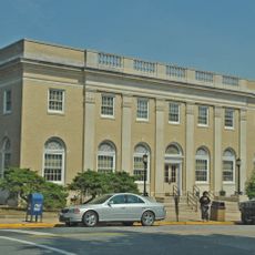
United States Post Office
27.1 km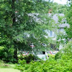
Dr. Thomas E. Lucas House
707 m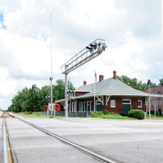
Seaboard Air Line Railway Depot in McBee
33.2 km
Discovery Place Kids-Rockingham
36.9 km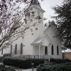
McBee Presbyterian Church
33.3 kmReviews
Visited this place? Tap the stars to rate it and share your experience / photos with the community! Try now! You can cancel it anytime.
Discover hidden gems everywhere you go!
From secret cafés to breathtaking viewpoints, skip the crowded tourist spots and find places that match your style. Our app makes it easy with voice search, smart filtering, route optimization, and insider tips from travelers worldwide. Download now for the complete mobile experience.

A unique approach to discovering new places❞
— Le Figaro
All the places worth exploring❞
— France Info
A tailor-made excursion in just a few clicks❞
— 20 Minutes