Chest opened
+${chestReward.xp} XP
Explorer
NOUVEAU ×${chestReward.collectible.quantity}
tapez pour fermer
Chest locked

Open chests in the app

Around Us is built for your phone — chests unlock when you walk, explore and capture nearby places.

Enable Location

We need your location to show you interesting places around you

Discover nearby places

Find interesting locations and hidden gems around you

Precise directions

Get accurate directions and distances to places

Your location is never shared with other users. It's only used when you tap the location button.

Log in to your account

Start exploring — it's free

Trusted by 72,886 travelers worldwide

Continue with Google
Continue with Apple
or

We will send you a code to connect

By continuing, you accept our Terms and Conditions and our Privacy Policy

Check your inbox

We've sent a pincode in your inbox. Please enter the code below.

Discussion Reviews Photo
10.5k Popularity

Patoka, Township administrative center in Gibson County, Indiana, US

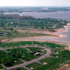
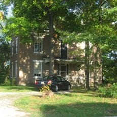
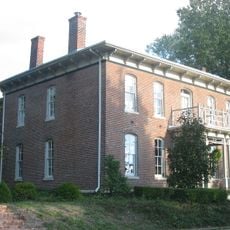
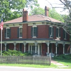
Patoka is a small settlement in Gibson County, Indiana, situated in White River Township with residential areas dispersed throughout the community. Local roads link the town to nearby municipalities like Princeton and Mount Carmel.

The settlement takes its name from a Native American term referring to logs at the river bottom. Its post office was established in 1833, marking the beginning of organized settlement in the area.

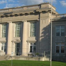
The North Gibson School Corporation maintains educational facilities in Patoka, serving students from elementary through high school levels.

The town is easily accessible by local roads and offers basic services including dining options and local businesses. Visitors should know this is a small rural community with limited commercial infrastructure.

The population decreased from 735 residents in 2010 to 706 in 2020, reflecting demographic shifts in this Gibson County municipality.

The community of curious travelers

AroundUs brings together thousands of curated places, local tips, and hidden gems, enriched daily by 60,000 contributors worldwide.

Start exploring
GPS coordinates
38.75533,-89.09534
Latest update
December 10, 2025 15:54
Around this place
Carlyle Lake
United States of America

Carlyle Lake

27 km
President
United States of America

President

34.8 km
Vandalia State House State Historic Site
United States of America

Vandalia State House State Historic Site

22.9 km
Greenville Public Library
United States of America

Greenville Public Library

30.6 km
General Dean Suspension Bridge
United States of America

General Dean Suspension Bridge

27.9 km
St. Paul Catholic Church
United States of America

St. Paul Catholic Church

50.2 km
Little Brick House
United States of America

Little Brick House

23.7 km
Dr. Charles M. Wright House
United States of America

Dr. Charles M. Wright House

45.3 km
Cedarhurst Center for the Arts
United States of America

Cedarhurst Center for the Arts

49.9 km
William Jennings Bryan Boyhood Home
United States of America

William Jennings Bryan Boyhood Home

19.1 km
Paine House
United States of America

Paine House

42.1 km
James C. Twiss House
United States of America

James C. Twiss House

47.2 km
Badollet House
United States of America

Badollet House

19.1 km
Clay County Courthouse
United States of America

Clay County Courthouse

51.8 km
Illinois Central Railroad Water Tower and Pump House
United States of America

Illinois Central Railroad Water Tower and Pump House

20.6 km
Ripson Bridge
United States of America

Ripson Bridge

46 km
Marion County Courthouse
United States of America

Marion County Courthouse

19.3 km
First Presbyterian Church
United States of America

First Presbyterian Church

23.7 km
Clinton County Courthouse
United States of America

Clinton County Courthouse

28.7 km
Charles and Naomi Bachmann House
United States of America

Charles and Naomi Bachmann House

19.1 km
Centralia Commercial Historic District
United States of America

Centralia Commercial Historic District

25.6 km
Floyd and Glenora Dycus House
United States of America

Floyd and Glenora Dycus House

29.4 km
Fayette County Courthouse
United States of America

Fayette County Courthouse

22.8 km
Centralia Elks Lodge
United States of America

Centralia Elks Lodge

25.6 km
Calendar Rohrbough House
United States of America

Calendar Rohrbough House

21.8 km
Methodist Episcopal Church
United States of America

Methodist Episcopal Church

19.3 km
American Farm Heritage Museum
United States of America

American Farm Heritage Museum

27.6 km
Rocky Point Beach
United States of America

Rocky Point Beach

30.1 km
Show the full map
Reviews
Share your experience

No review yet

Discussions
Start a discussion...

No discussion yet

« Patoka - Township administrative center in Gibson County, Indiana, US » is provided by Around Us (aroundus.com). Images and texts are derived from Wikimedia project under a Creative Commons license. You are allowed to copy, distribute, and modify copies of this page, under the conditions set by the license, as long as this note is clearly visible.

Discover hidden gems everywhere you go!

From secret cafés to breathtaking viewpoints, skip the crowded tourist spots and find places that match your style. Our app makes it easy with voice search, smart filtering, route optimization, and insider tips from travelers worldwide. Download now for the complete mobile experience.

Around Us App Screenshot

A unique approach to discovering new places

Le Figaro

All the places worth exploring

France Info

A tailor-made excursion in just a few clicks

20 Minutes

Around Us
Travel Guide & Maps
Download

Send to your phone

QR Code
1

Open the camera app on your mobile.

2

Point at the QR code with your camera. A notification will appear.

3

Tap the notification to open the link.