Rollinsford, human settlement in Strafford County, New Hampshire, United States of America
The community of curious travelers
AroundUs brings together thousands of curated places, local tips, and hidden gems, enriched daily by 60,000 contributors worldwide.
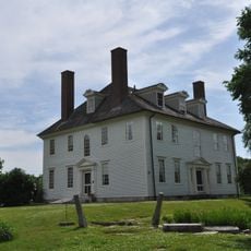
Hamilton House
2.6 km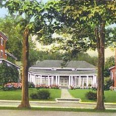
Woodman Institute Museum
6.8 km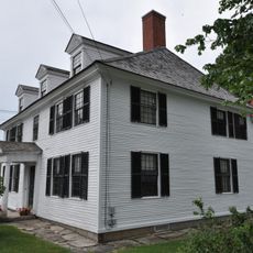
Sarah Orne Jewett House
1.2 km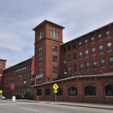
Cocheco Mills
6.3 km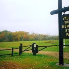
Vaughan Woods State Park
3.1 km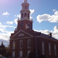
First Parish Church
7.5 km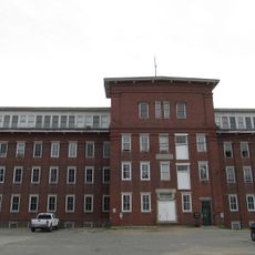
Salmon Falls Mill Historic District
68 m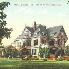
Mary R. Hurd House
10 km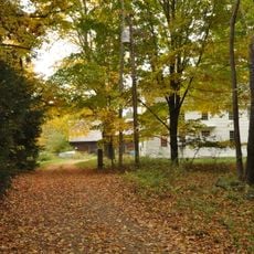
Frost Garrison and House
10 km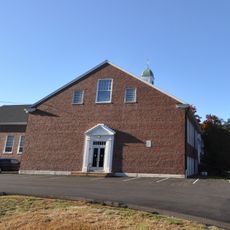
Rollinsford Grade School
587 m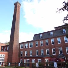
Sawyer Woolen Mills
7.9 km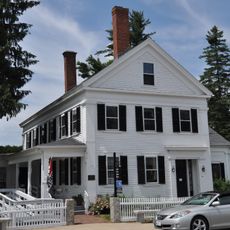
Jewett-Eastman House
798 m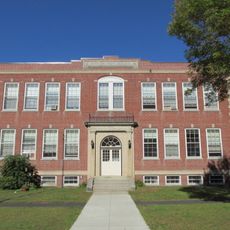
Former Berwick High School
5 km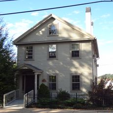
Samuel Wyatt House
6.7 km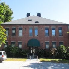
Green Street School
4.3 km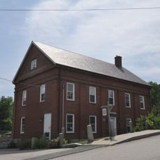
Portsmouth Company Cotton Mills: Counting House
1.2 km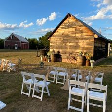
Raitt Homestead Farm Museum
7.7 km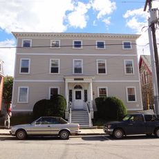
William Hale House
6.6 km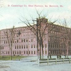
Cummings Shoe Factory
257 m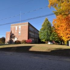
Old Somersworth High School
4.9 km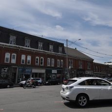
South Berwick Village Historic District
925 m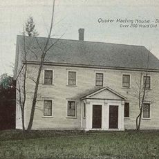
Religious Society of Friends Meetinghouse
7.1 km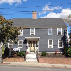
Michael Reade House
6.1 km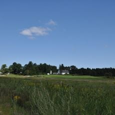
Jenness Farm
9.6 km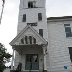
Rollinsford Town Hall
211 m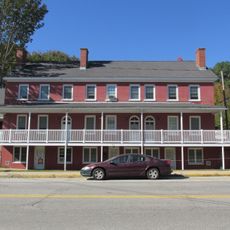
Lehoullier Building
4.4 km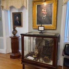
Woodman Institute Museum
6.9 km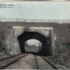
Washington Street Overpass
7.2 kmDiscover hidden gems everywhere you go!
From secret cafés to breathtaking viewpoints, skip the crowded tourist spots and find places that match your style. Our app makes it easy with voice search, smart filtering, route optimization, and insider tips from travelers worldwide. Download now for the complete mobile experience.

A unique approach to discovering new places❞
— Le Figaro
All the places worth exploring❞
— France Info
A tailor-made excursion in just a few clicks❞
— 20 Minutes