
Andover, rural town in Tolland County, Connecticut, United States
Location: Capitol Planning Region
Location: Tolland County
Inception: 1848
Elevation above the sea: 122 m
Website: http://andoverct.org
GPS coordinates: 41.73278,-72.37472
Latest update: March 3, 2025 01:57
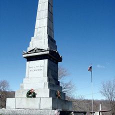
Captain Nathan Hale Monument
6.9 km
South Coventry Historic District
7.1 km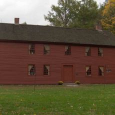
Strong House
4.3 km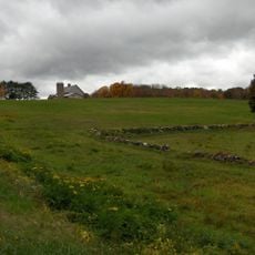
Fifth Camp of Rochambeau's Infantry
6.1 km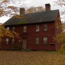
White's Tavern
3 km
Willimantic Elks Club
4.1 km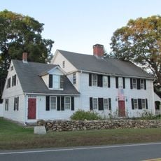
Brigham's Tavern
8.9 km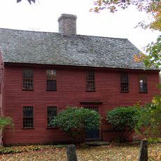
Oliver White Tavern
5.8 km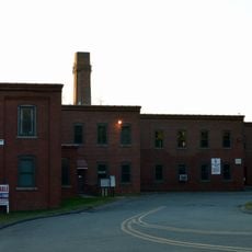
Case Brothers Historic District
10.1 km
Museum of Connecticut Glass
7.7 km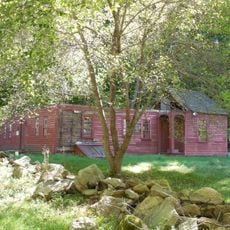
Elias Sprague House
4.6 km
South Willington Historic District
6.4 km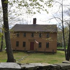
John Cady House
11.1 km
Columbia Green Historic District
6.9 km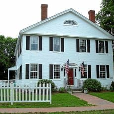
Augustus Post House
8.4 km
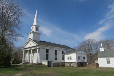
Andover Center Historic District
156 m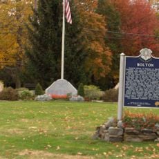
Bolton Green Historic District
6.3 km
Hebron Center Historic District
8.4 km
Loomis-Pomeroy House
7.2 km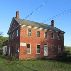
Coventry Glass Factory Historic District
7.6 km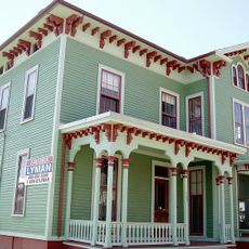
Capron-Phillips House
7.4 km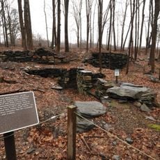
Valley Falls Cotton Mill Site
11.4 km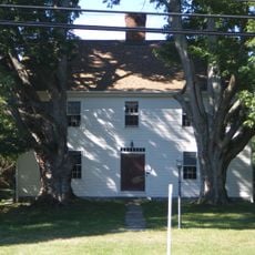
Dr. Elizur Hale House
8 km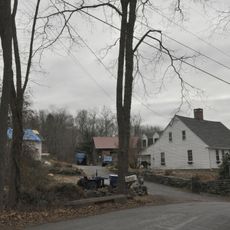
Parker-Hutchinson Farm
4.4 km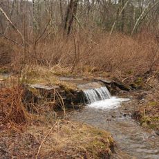
Sharpe's Trout Hatchery Site
11.4 km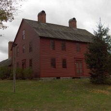
Nathan Hale Homestead
4.3 km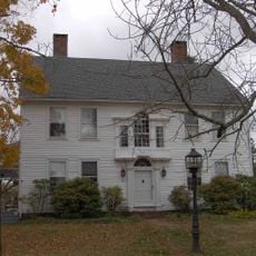
Jared Cone House
6.2 km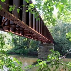
Willimantic River Railroad Bridge
11.6 kmReviews
Visited this place? Tap the stars to rate it and share your experience / photos with the community! Try now! You can cancel it anytime.
Discover hidden gems everywhere you go!
From secret cafés to breathtaking viewpoints, skip the crowded tourist spots and find places that match your style. Our app makes it easy with voice search, smart filtering, route optimization, and insider tips from travelers worldwide. Download now for the complete mobile experience.

A unique approach to discovering new places❞
— Le Figaro
All the places worth exploring❞
— France Info
A tailor-made excursion in just a few clicks❞
— 20 Minutes