Enable Location

We need your location to show you interesting places around you

Discover nearby places

Find interesting locations and hidden gems around you

Precise directions

Get accurate directions and distances to places

Your location is never shared with other users. It's only used when you tap the location button.

Midway

Log in to your account

Start exploring — it's free

Trusted by 63,618 travelers worldwide

Continue with Google
Continue with Apple
or

We will send you a code to connect

By continuing, you accept our Terms and Conditions and our Privacy Policy

Check your inbox

We've sent a pincode in your inbox. Please enter the code below.

Discussion Reviews 2 Photos
19.4k Popularity

Midway, city in Woodford County, Kentucky, United States of America

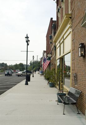
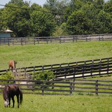
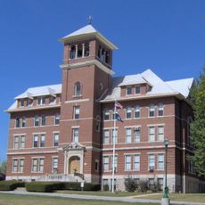
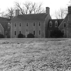
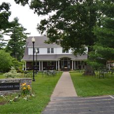
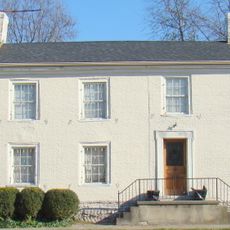
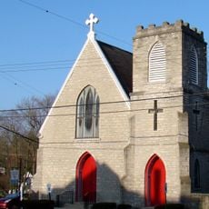
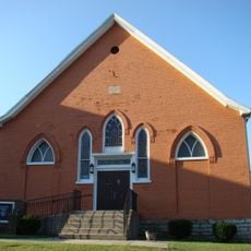
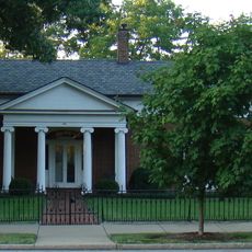
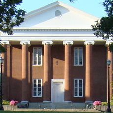
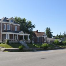
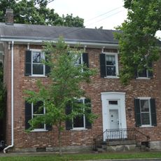
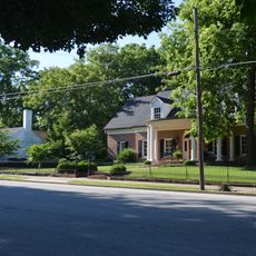
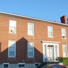
Midway is a small city in Woodford County in Kentucky's Bluegrass Region, located roughly halfway between Lexington and Frankfort. The city has a well-kept historic downtown with buildings from the early 1800s, a university campus integrated into town life, and proximity to horse farms and bourbon distilleries.

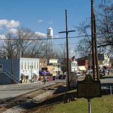
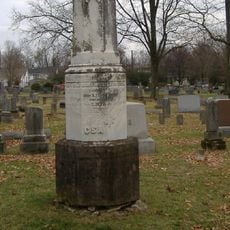
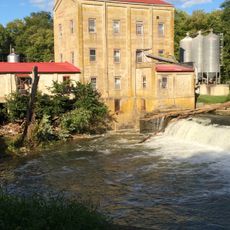
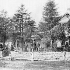
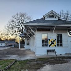
Midway was founded in the early 1800s and was the first railroad town built by a railroad company in Kentucky. The Lexington and Ohio Railroad made it a key transportation point, while the local economy developed around bourbon distilling and horse breeding.

Midway takes its name from its position between Lexington and Frankfort. Locals and visitors gather in historic shops along Railroad Street and at community events, where the town's identity is tied to horse farming and bourbon traditions that shape daily life.

The city is easily reached by car via Interstate 64, which connects Lexington to the east and Louisville to the west. The nearest airport is Blue Grass Airport in Lexington, from where visitors can rent a car to explore the city and surrounding horse farms. Walking tours with cell phone guides are available through City Hall.

Midway was the first railroad town in Kentucky specifically founded by a railroad company. Many of the city's street names come from railroad leaders and reflect this unique founding story.

The community of curious travelers

AroundUs brings together thousands of curated places, local tips, and hidden gems, enriched daily by 60,000 contributors worldwide.

Start exploring
Location
Inception
January 31, 1835
Elevation above the sea
252 m
GPS coordinates
38.15028,-84.68278
Latest update
February 16, 2026 22:40
Around this place
Old Friends Equine
United States of America

Old Friends Equine

8.3 km
Royal Spring Park
United States of America

Royal Spring Park

12.7 km
Yuko-En on the Elkhorn
United States of America

Yuko-En on the Elkhorn

12.9 km
Cardome Centre
United States of America

Cardome Centre

12.9 km
Confederate Monument in Georgetown
United States of America

Confederate Monument in Georgetown

12 km
Alexander Plantation House
United States of America

Alexander Plantation House

5.2 km
Switzer Covered Bridge
United States of America

Switzer Covered Bridge

13 km
Martyrs Monument in Midway
United States of America

Martyrs Monument in Midway

1 km
Cleveland House
United States of America

Cleveland House

11.7 km
Midway Historic District
United States of America

Midway Historic District

559 m
Payne-Desha House
United States of America

Payne-Desha House

12.5 km
Scott County Courthouse
United States of America

Scott County Courthouse

12.7 km
Hawkins House
United States of America

Hawkins House

12.7 km
Hurricane Hall
United States of America

Hurricane Hall

12.9 km
Confederate Monument in Versailles
United States of America

Confederate Monument in Versailles

12 km
Branham House
United States of America

Branham House

12.5 km
Cardinal Hill Reservoir Gatehouse
United States of America

Cardinal Hill Reservoir Gatehouse

2.9 km
Holy Trinity Episcopal Church
United States of America

Holy Trinity Episcopal Church

12.5 km
First African Baptist Church and Parsonage
United States of America

First African Baptist Church and Parsonage

12.7 km
Shropshire House
United States of America

Shropshire House

13 km
Weisenberger Mills and Related Buildings
United States of America

Weisenberger Mills and Related Buildings

4.8 km
Millspring
United States of America

Millspring

12.9 km
Georgetown College Historic Buildings
United States of America

Georgetown College Historic Buildings

12.9 km
South Broadway Neighborhood District
United States of America

South Broadway Neighborhood District

12.2 km
Carter House
United States of America

Carter House

11.8 km
Georgetown East Main Street Residential District
United States of America

Georgetown East Main Street Residential District

13 km
Johnston-Jacobs House
United States of America

Johnston-Jacobs House

12.9 km
Nostalgia Station
United States of America

Nostalgia Station

11.2 km
Show the full map
Reviews
Share your experience

No review yet

Discussions
Start a discussion...

No discussion yet

« Midway - city in Woodford County, Kentucky, United States of America » is provided by Around Us (aroundus.com). Images and texts are derived from Wikimedia project under a Creative Commons license. You are allowed to copy, distribute, and modify copies of this page, under the conditions set by the license, as long as this note is clearly visible.

Discover hidden gems everywhere you go!

From secret cafés to breathtaking viewpoints, skip the crowded tourist spots and find places that match your style. Our app makes it easy with voice search, smart filtering, route optimization, and insider tips from travelers worldwide. Download now for the complete mobile experience.

Around Us App Screenshot

A unique approach to discovering new places

Le Figaro

All the places worth exploring

France Info

A tailor-made excursion in just a few clicks

20 Minutes

Around Us
Travel Guide & Maps
Download

Send to your phone

QR Code
1

Open the camera app on your mobile.

2

Point at the QR code with your camera. A notification will appear.

3

Tap the notification to open the link.