
Norcatur, human settlement in Decatur County, Kansas, United States of America
Location: Decatur County
Inception: 1885
Elevation above the sea: 806 m
Website: http://cityofnorcatur.com
GPS coordinates: 39.83640,-100.18800
Latest update: March 3, 2025 03:18
Harlan County Reservoir
82.3 km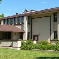
Harvey P. Sutton House
55.3 km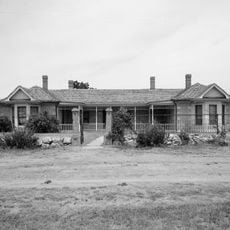
Cottonwood Ranch
53.5 km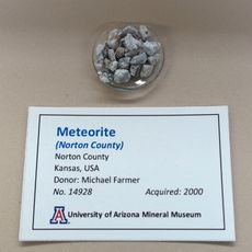
Norton County meteorite
32.3 km
Prairie Dog State Park
20.5 km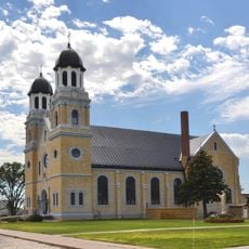
St. Joseph Catholic Church
77.4 km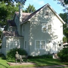
George W. Norris House
55.4 km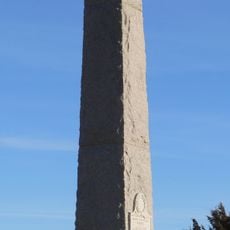
Massacre Canyon Historical Monument
78 km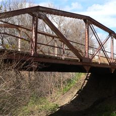
Prairie Dog Creek Bridge
63.3 km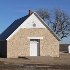
St. Paul's Methodist Protestant Church
61.8 km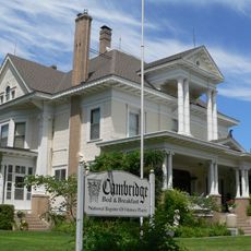
W. H. Faling House
49.7 km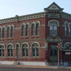
Bank of Oberlin
29.2 km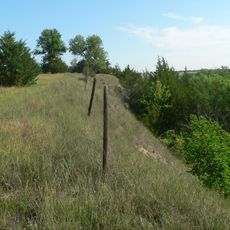
Mowry Bluff Archeological Site
59.7 km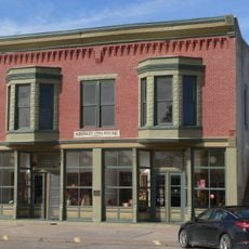
Shirley Opera House
72.9 km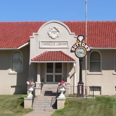
McCook Public-Carnegie Library
55.1 km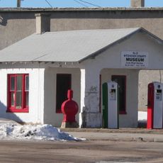
Weyl Service Station
79.7 km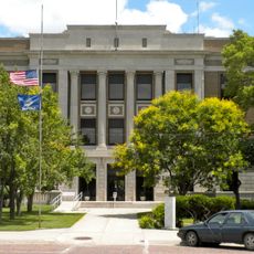
Norton Downtown Historic District
25.6 km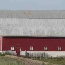
Shafer Barn
60.9 km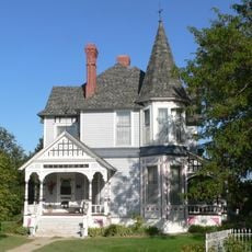
Barbeau House
29.8 km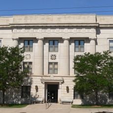
Red Willow County Courthouse
55.2 km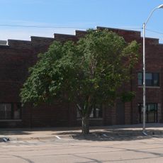
Alma City Auditorium and Sale Barn
76.1 km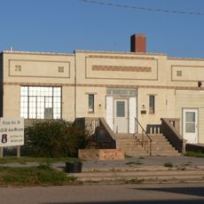
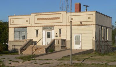
Norcatur City Hall
215 m
McCook YMCA
55.2 km
North Fork Solomon River Lattice Truss Bridge
26.7 km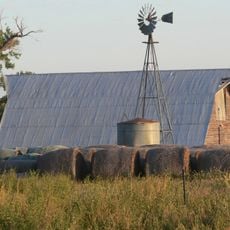
Harry Keith Barn
62.1 km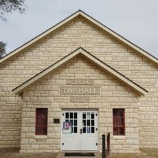
Nicodemus National Historic Site
69.6 km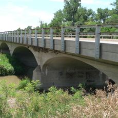
Republican State Aid Bridge
48.7 km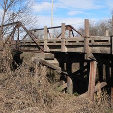
Sappa Creek Bridge
63.2 kmVisited this place? Tap the stars to rate it and share your experience / photos with the community! Try now! You can cancel it anytime.
Discover hidden gems everywhere you go!
From secret cafés to breathtaking viewpoints, skip the crowded tourist spots and find places that match your style. Our app makes it easy with voice search, smart filtering, route optimization, and insider tips from travelers worldwide. Download now for the complete mobile experience.

A unique approach to discovering new places❞
— Le Figaro
All the places worth exploring❞
— France Info
A tailor-made excursion in just a few clicks❞
— 20 Minutes