Decatur County, County in northwestern Kansas, United States.
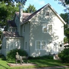
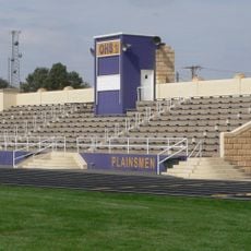
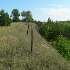
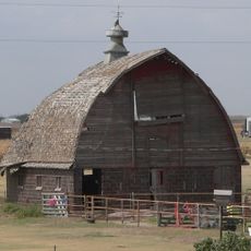
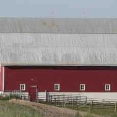
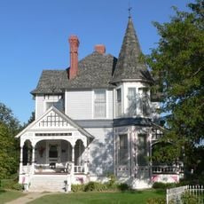
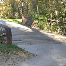
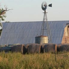
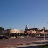
Decatur County is an administrative county in the northwestern corner of Kansas, with Oberlin serving as the county seat. The land is flat and open, covered mostly by prairie grass and farmland, with small towns connected by rural roads.
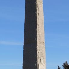
The county was established in 1873 and named after Stephen Decatur, a naval officer known for his role in the early American wars at sea. In the years that followed, the area saw violent clashes between settlers and Native groups, ending with the raid of 1878.
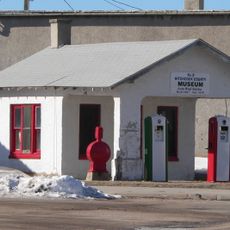
The Last Indian Raid Museum in Oberlin tells the story of the 1878 raid through objects, photographs and personal accounts from the people who lived through it. It is one of the few places in Kansas where this chapter of frontier life is presented from a local community perspective.
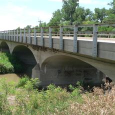
Distances between towns are long, and services like gas stations or shops can be hard to find in rural stretches. It is a good idea to plan ahead and carry supplies before setting out across the county.
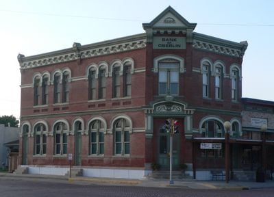
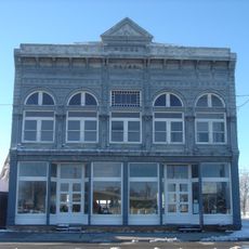
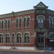
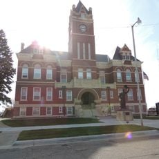
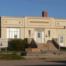
The 1878 raid is considered the last organized attack by a Native group in Kansas, making this county the site of a singular moment in the state's frontier history. The 1886 Bank of Oberlin building still stands in town and is listed on the historic register, one of the oldest surviving structures in the area.
The community of curious travelers
AroundUs brings together thousands of curated places, local tips, and hidden gems, enriched daily by 60,000 contributors worldwide.