
St. Paul, town in Virginia
Location: Virginia
Elevation above the sea: 458 m
Website: http://stpaulva.org/Pages/default.aspx
GPS coordinates: 36.90560,-82.31030
Latest update: March 4, 2025 06:48
High Knob
28.5 km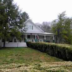
Maybelle and Ezra Carter House
27.1 km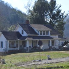
A. P. and Sara Carter House
27.9 km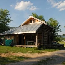
A. P. Carter Homeplace
27.6 km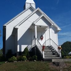
Mt. Vernon Methodist Church
26.4 km
Moonlite Drive-In
34.7 km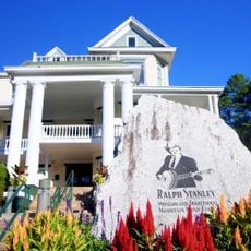
Ralph Stanley Museum
30.2 km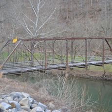
Blackford Bridge
27.5 km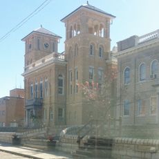
Wise County Courthouse
25.3 km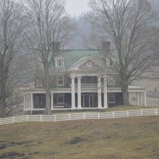
Carter Hill
9.7 km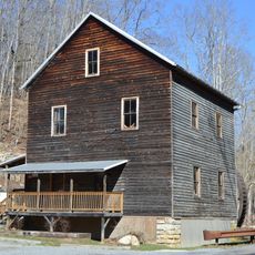
Bush Mill
12.5 km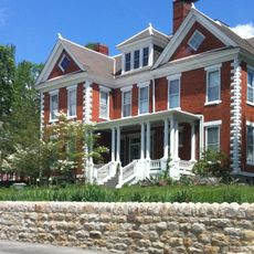
E. M. Fulton House
25.4 km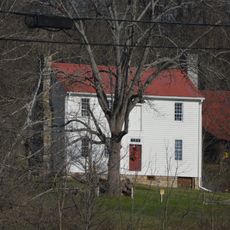
Walnut Grove
34.2 km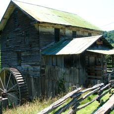
White's Mill
32.5 km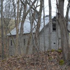
Jessees Mill
12.5 km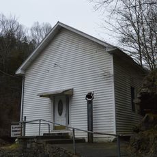
Castlerun Historic District
6.1 km
Devils Fork
31.9 km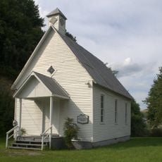
Virginia City Church
3.6 km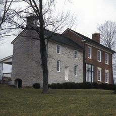
Old Russell County Courthouse
9.7 km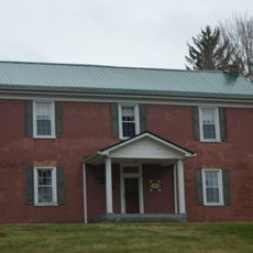
Samuel Gilmer House
24.2 km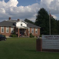
Tacoma School
20 km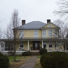
Stephen B. Quillen House
20.4 km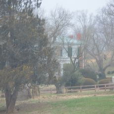
Smithfield (Rosedale, Virginia)
29.6 km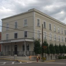
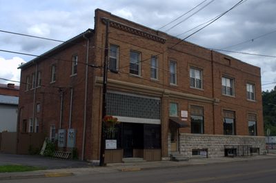
St. Paul Historic District (St. Paul, Virginia)
104 m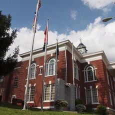
Dickenson County Courthouse
30.2 km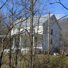
Fulkerson-Hilton House
30.8 km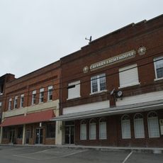
Honaker Commercial Historic District
6.1 km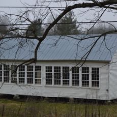
Mason-Dorton School
11.6 kmVisited this place? Tap the stars to rate it and share your experience / photos with the community! Try now! You can cancel it anytime.
Discover hidden gems everywhere you go!
From secret cafés to breathtaking viewpoints, skip the crowded tourist spots and find places that match your style. Our app makes it easy with voice search, smart filtering, route optimization, and insider tips from travelers worldwide. Download now for the complete mobile experience.

A unique approach to discovering new places❞
— Le Figaro
All the places worth exploring❞
— France Info
A tailor-made excursion in just a few clicks❞
— 20 Minutes