
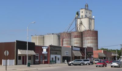
Oxford, village in Furnas and Harlan Counties in Nebraska, United States of America
Location: Nebraska
Elevation above the sea: 633 m
GPS coordinates: 40.25222,-99.63278
Latest update: June 7, 2025 21:39
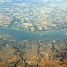
Harlan County Reservoir
37.6 km
Pioneer Village
64.3 km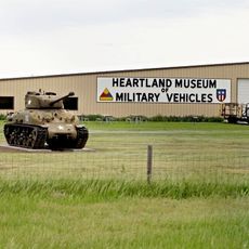
Heartland Museum of Military Vehicles
55.3 km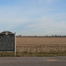
Dobytown
65.9 km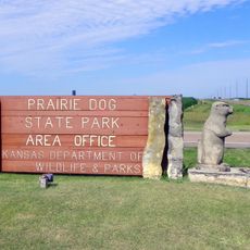
Prairie Dog State Park
56.5 km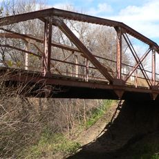
Prairie Dog Creek Bridge
30.5 km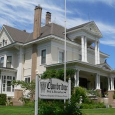
W. H. Faling House
45.7 km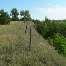
Mowry Bluff Archeological Site
51.9 km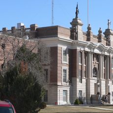
Dawson County Courthouse
59.5 km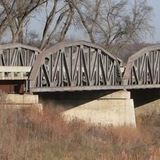
Franklin Bridge
61.1 km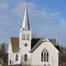
Salem Swedish Methodist Episcopal Church
44.6 km
First Congregational Church, U.C.C.
46 km
Pleasant Ridge Church
43.5 km
Gosper County Courthouse
42.1 km
Kearney County Courthouse
64.2 km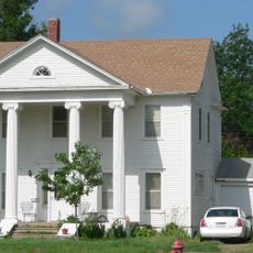
Kinner House
29.8 km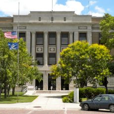
Norton Downtown Historic District
51.9 km
Minden United States Post Office
64.3 km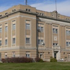
Franklin County Courthouse
60.3 km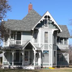
Ira Webster Olive House
60.2 km
Alma City Auditorium and Sale Barn
28.6 km
Norcatur City Hall
66.3 km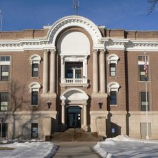
Phelps County Courthouse
30.5 km
W. T. Thorne Building
64.3 km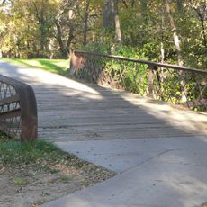
North Fork Solomon River Lattice Truss Bridge
52.6 km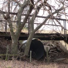
Turkey Creek Bridge
25.9 km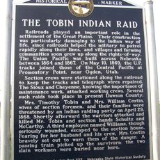
Tobin Indian Raid Historical Marker
54.8 km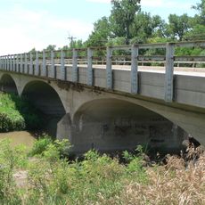
Republican State Aid Bridge
45.4 kmReviews
Visited this place? Tap the stars to rate it and share your experience / photos with the community! Try now! You can cancel it anytime.
Discover hidden gems everywhere you go!
From secret cafés to breathtaking viewpoints, skip the crowded tourist spots and find places that match your style. Our app makes it easy with voice search, smart filtering, route optimization, and insider tips from travelers worldwide. Download now for the complete mobile experience.

A unique approach to discovering new places❞
— Le Figaro
All the places worth exploring❞
— France Info
A tailor-made excursion in just a few clicks❞
— 20 Minutes