
Jonesboro, town in Maine, United States
Location: Washington County
Elevation above the sea: 32 m
GPS coordinates: 44.66250,-67.57250
Latest update: March 9, 2025 18:46
Fort O'Brien
14.2 km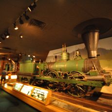
Machiasport Railroad “Lion”
10.5 km
Cross Island National Wildlife Refuge
23.1 km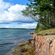
Roque Bluffs State Park
8.5 km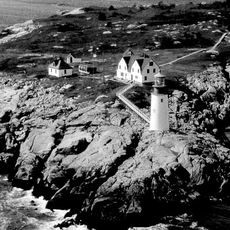
Moose Peak Light Shalen’s New Home
21.2 km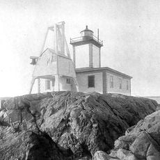
Avery Rock Light
18.1 km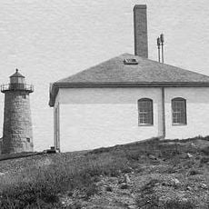
Libby Island Light
19.3 km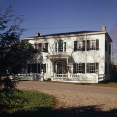
Ruggles House
12.5 km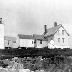
Nash Island Light
26.1 km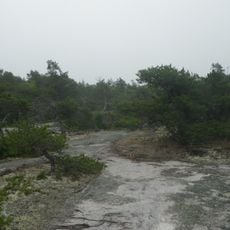
Great Wass Island Preserve
21.1 km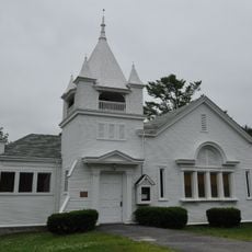
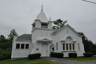
Jonesboro Union Church
393 m
Union Church
12.5 km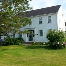
Columbia House
12.4 km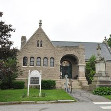
Porter Memorial Library
10.7 km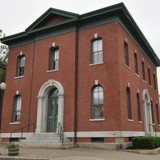
Machias Post Office and Customhouse
10.8 km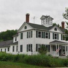
David W. Campbell House
28.5 km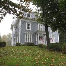
James R. Talbot House
16.7 km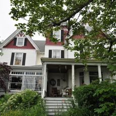
Everett Wallace House
28.6 km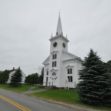
Whitneyville Congregational Church
8.8 km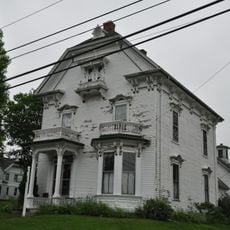
Clark Perry House
10.6 km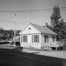
East Machias Historic District
16.7 km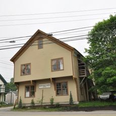
Machias Valley Grange, No. 360
10.7 km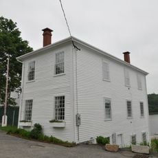
Gates House
14.6 km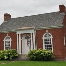
Gallison Memorial Library
19.6 km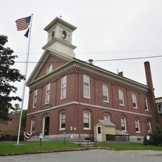
Washington County Courthouse
10.7 km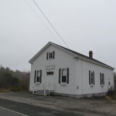
Jonesboro Grange No. 357
31 m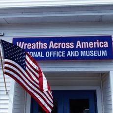
National Wreaths Across America Headquarters
12.5 km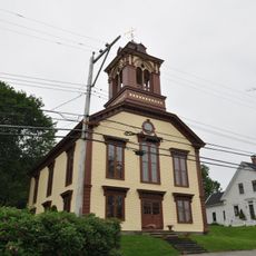
Liberty Hall
14.6 kmReviews
Visited this place? Tap the stars to rate it and share your experience / photos with the community! Try now! You can cancel it anytime.
Discover hidden gems everywhere you go!
From secret cafés to breathtaking viewpoints, skip the crowded tourist spots and find places that match your style. Our app makes it easy with voice search, smart filtering, route optimization, and insider tips from travelers worldwide. Download now for the complete mobile experience.

A unique approach to discovering new places❞
— Le Figaro
All the places worth exploring❞
— France Info
A tailor-made excursion in just a few clicks❞
— 20 Minutes