Enable Location

We need your location to show you interesting places around you

Discover nearby places

Find interesting locations and hidden gems around you

Precise directions

Get accurate directions and distances to places

Your location is never shared with other users. It's only used when you tap the location button.

Washington County

Log in to your account

Start exploring — it's free

Trusted by 62,999 travelers worldwide

Continue with Google
Continue with Apple
or

We will send you a code to connect

By continuing, you accept our Terms and Conditions and our Privacy Policy

Check your inbox

We've sent a pincode in your inbox. Please enter the code below.

Discussion Reviews 2 Photos
26.6k Popularity

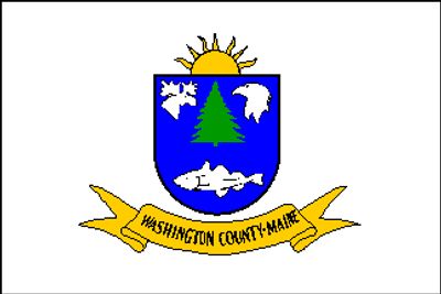
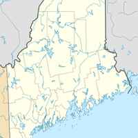
Washington County, County in Maine, United States

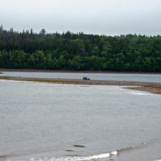
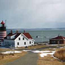
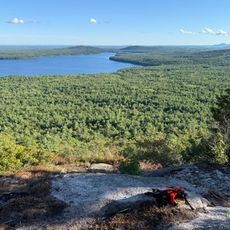
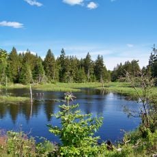
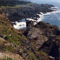
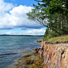
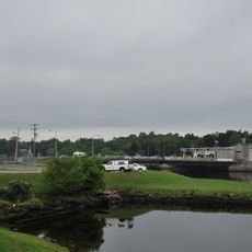
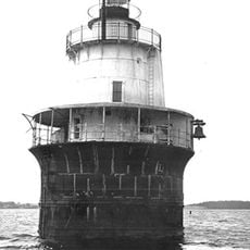
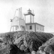
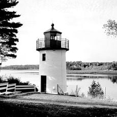
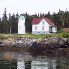
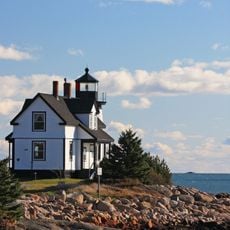
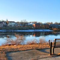
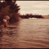
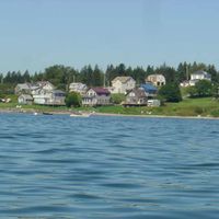
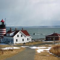
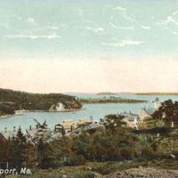
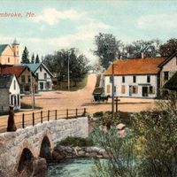
Washington County is a county in northeastern Maine with a long shoreline featuring deep natural harbors along the Atlantic coast. The landscape consists of dense forests, many lakes, and coastal areas that shape how people live and work in this region.

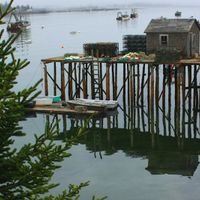
The county was established in 1789 during the initial organization of Maine's territories. Early settlers developed fishing and maritime trade, which became the foundation of the region's economy.

Native American territories, including the Passamaquoddy Indian Township Reservation and Pleasant Point Reservation, maintain traditional customs and practices within the county boundaries.

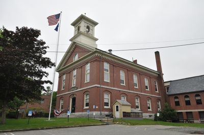
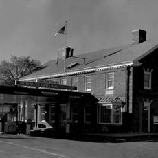
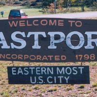
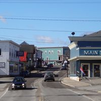
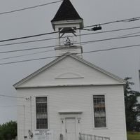
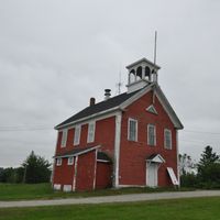
Machias serves as the county's administrative center for most services. The region is sparsely populated with distances between towns, so planning ahead helps when exploring the area.

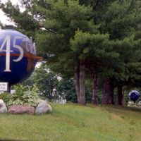
The region grows wild blueberries that supply markets across the world. This distinctive agricultural focus sets the area apart from other coastal Maine regions.

The community of curious travelers

AroundUs brings together thousands of curated places, local tips, and hidden gems, enriched daily by 60,000 contributors worldwide.

Start exploring
Location
Inception
1790
Capital city
Machias
Shares border with
York County, Aroostook County, Hancock County, Penobscot County
GPS coordinates
44.94001,-67.55033
Latest update
December 20, 2025 14:53
Around this place
West Quoddy Head Light
United States of America

West Quoddy Head Light

49.3 km
Minister's Island
Canada

Minister's Island

44.1 km
The Algonquin Resort
Canada

The Algonquin Resort

42 km
Quoddy Head State Park
United States of America

Quoddy Head State Park

48.3 km
United States of America

Franklin Delano Roosevelt Bridge

45.8 km
United States of America

Catherine Mountain

55.7 km
Naval Group Support Activity, Winter Harbor
United States of America

Naval Group Support Activity, Winter Harbor

78.3 km
Cobscook Bay State Park
United States of America

Cobscook Bay State Park

33.4 km
Moosehorn National Wildlife Refuge
United States of America

Moosehorn National Wildlife Refuge

22.3 km
Fort Sullivan
United States of America

Fort Sullivan

44.4 km
Petit Manan Light
United States of America

Petit Manan Light

68.4 km
Fort O'Brien
United States of America

Fort O'Brien

30.4 km
Petit Manan National Wildlife Refuge
United States of America

Petit Manan National Wildlife Refuge

62.5 km
Machiasport Railroad “Lion”
United States of America

Machiasport Railroad “Lion”

26.8 km
Cross Island National Wildlife Refuge
United States of America

Cross Island National Wildlife Refuge

41.9 km
Ferry Point Border Crossing
Canada

Ferry Point Border Crossing

35 km
Roque Bluffs State Park
United States of America

Roque Bluffs State Park

36.5 km
Moose Peak Light Shalen’s New Home
United States of America

Moose Peak Light Shalen’s New Home

51.8 km
Ferry Point International Bridge
Canada

Ferry Point International Bridge

35 km
Canada

International Avenue Bridge

31.4 km
Canada

Herring Cove Provincial Park

48.9 km
Lubec Channel Light
United States of America

Lubec Channel Light

46.5 km
Avery Rock Light
United States of America

Avery Rock Light

35.7 km
Whitlocks Mill Light
United States of America

Whitlocks Mill Light

35.5 km
Canada

Milltown International Bridge

32.5 km
Little River Light
United States of America

Little River Light

42.9 km
Prospect Harbor Point Light
United States of America

Prospect Harbor Point Light

70.1 km
Shackford Head State Park
United States of America

Shackford Head State Park

42.2 km
Show the full map
Reviews
Share your experience

No review yet

Discussions
Start a discussion...

No discussion yet

« Washington County - County in Maine, United States » is provided by Around Us (aroundus.com). Images and texts are derived from Wikimedia project under a Creative Commons license. You are allowed to copy, distribute, and modify copies of this page, under the conditions set by the license, as long as this note is clearly visible.

Discover hidden gems everywhere you go!

From secret cafés to breathtaking viewpoints, skip the crowded tourist spots and find places that match your style. Our app makes it easy with voice search, smart filtering, route optimization, and insider tips from travelers worldwide. Download now for the complete mobile experience.

Around Us App Screenshot

A unique approach to discovering new places

Le Figaro

All the places worth exploring

France Info

A tailor-made excursion in just a few clicks

20 Minutes

Around Us
Travel Guide & Maps
Download

Send to your phone

QR Code
1

Open the camera app on your mobile.

2

Point at the QR code with your camera. A notification will appear.

3

Tap the notification to open the link.