Maine, Northeast state in United States
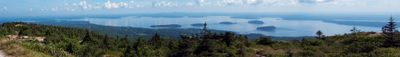
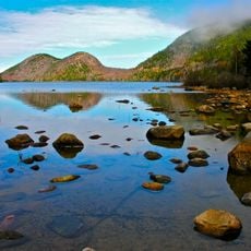
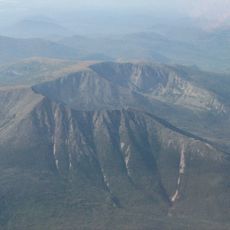
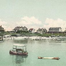
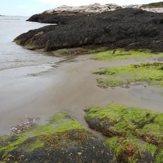
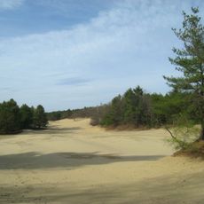
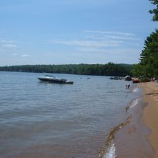
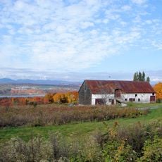
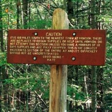
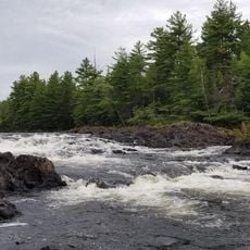
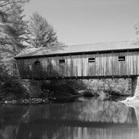
This state in the northeastern United States stretches from the Atlantic coastline to the Canadian border, covering roughly 35,000 square miles of forests, mountains, and waterways. The shoreline runs for more than 3,400 miles with rocky bays, sandy beaches, and offshore islands, while the inland areas feature evergreen woods and low mountain ranges.
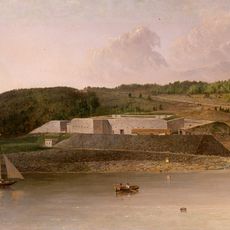
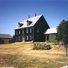
The territory separated from Massachusetts in 1820 and became the 23rd state under the Missouri Compromise. European settlers arrived in the early 1600s and established trading posts along rivers and bays.
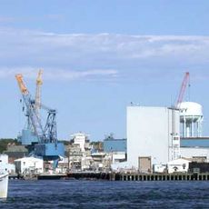
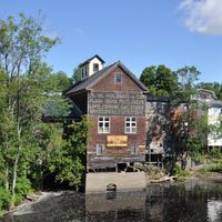
Lobster shacks and clam chowder define the local food scene, served in family-run restaurants and roadside stands that open in warm months. Maritime crafts appear in boatyards and small shops along the coast, where people still build and repair traditional wooden boats by hand.
The capital Augusta holds government offices in Kennebec County, while Portland serves as the largest commercial hub with international connections. Weather shifts sharply between seasons, with cold snowy winters and mild summers along the coast.
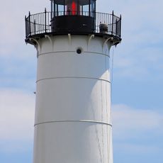
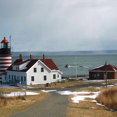
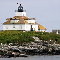
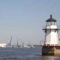
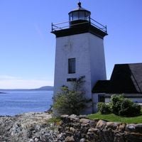
The lobster fishery produces over 40 million pounds each year, more than any other state. Along the Atlantic shore stand 65 working and retired lighthouses, many dating back to the early 1800s.
The community of curious travelers
AroundUs brings together thousands of curated places, local tips, and hidden gems, enriched daily by 60,000 contributors worldwide.