Enable Location

We need your location to show you interesting places around you

Discover nearby places

Find interesting locations and hidden gems around you

Precise directions

Get accurate directions and distances to places

Your location is never shared with other users. It's only used when you tap the location button.

Aroostook County

Log in to your account

Start exploring — it's free

Trusted by 61,831 travelers worldwide

Continue with Google
Continue with Apple
or

We will send you a code to connect

By continuing, you accept our Terms and Conditions and our Privacy Policy

Check your inbox

We've sent a pincode in your inbox. Please enter the code below.

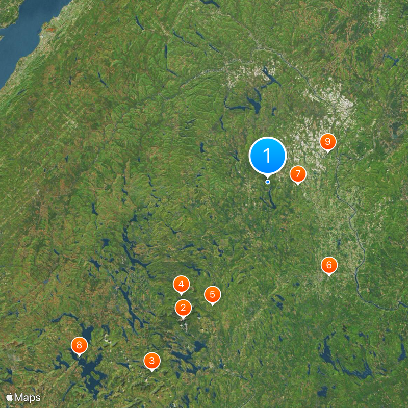
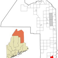
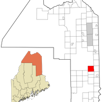
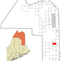
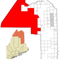
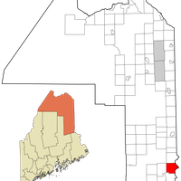
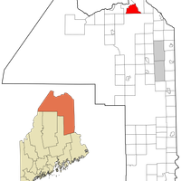
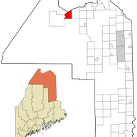
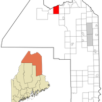
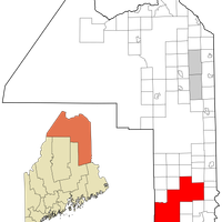
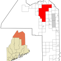
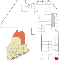
Aroostook County, Northeasternmost county in Maine, United States.

Description

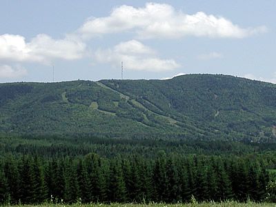
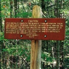
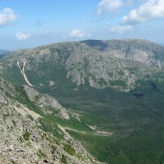
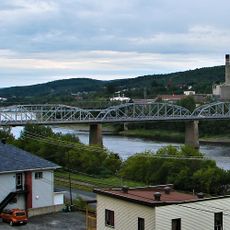
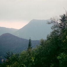
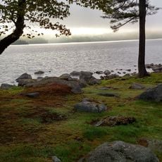
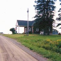
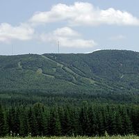
Aroostook County is an administrative division in the far northeast of Maine in the United States. The region extends across wide forests, agricultural lands, and many lakes and rivers.

History

The county was created in 1839 through the division of Penobscot and Washington counties. Its founding followed the resolution of a border dispute between the United States and the United Kingdom.

Culture

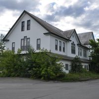
The bilingual communities in the Saint John Valley blend French-Acadian traditions with North American ways of life. Many places carry French names, and residents maintain a distinctive cultural identity expressed through language and daily habits.

Practical

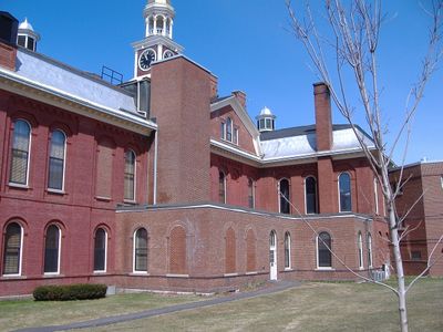
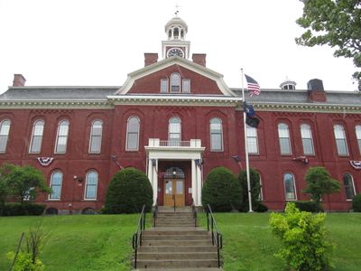
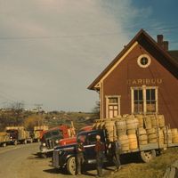
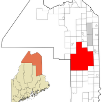
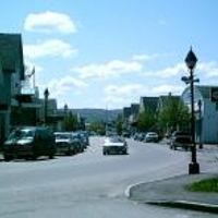
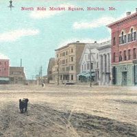
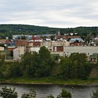
The administrative services are divided across three locations: Houlton, Caribou, and Fort Kent. The long distances between communities require careful planning when traveling through the area.

Did you know?

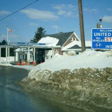
The county borders two Canadian provinces: New Brunswick and Quebec. Its area exceeds the combined size of Connecticut and Rhode Island.

Location
Inception
March 16, 1839
Capital city
Houlton
Part of
Maine
Shares border with
Piscataquis County, Penobscot County, Somerset County, Washington County
GPS coordinates
46.63736,-68.26166
Latest update
December 13, 2025 16:37

AroundUs brings together thousands of curated places, local tips, and hidden gems, enriched daily by 60,000 contributors worldwide. Discover all places nearby (Maine).

Around this place
Katahdin
United States of America

Katahdin

96.1 km
Hundred-Mile Wilderness
United States of America

Hundred-Mile Wilderness

133.4 km
Baxter State Park
United States of America

Baxter State Park

84.8 km
United States of America

Katahdin Woods and Waters National Monument

80.6 km
Houlton–Woodstock border crossing
Canada

Houlton–Woodstock border crossing

67 km
Double Eagle II
United States of America

Double Eagle II

18.4 km
Mount Kineo
United States of America

Mount Kineo

154.2 km
Aroostook Valley Country Club
Canada

Aroostook Valley Country Club

40.4 km
United States of America

Allagash Wilderness Waterway

90.7 km
United States of America

Chesuncook Lake

110.1 km
Mars Hill
United States of America

Mars Hill

36.6 km
Fort Kent
United States of America

Fort Kent

72.9 km
Eagle Lake Tramway
United States of America

Eagle Lake Tramway

92.6 km
Aroostook National Wildlife Refuge
United States of America

Aroostook National Wildlife Refuge

45.9 km
Hamlin Peak
United States of America

Hamlin Peak

94.5 km
Edmundston–Madawaska Bridge
Canada

Edmundston–Madawaska Bridge

80.6 km
New Brunswick Botanical Garden
Canada

New Brunswick Botanical Garden

90.3 km
North Brother
United States of America

North Brother

94 km
Loring Air Force Base Double Cantilever Hangar
United States of America

Loring Air Force Base Double Cantilever Hangar

43.6 km
Loring Air Force Base Arch Hangar
United States of America

Loring Air Force Base Arch Hangar

43.9 km
United States of America

Aroostook State Park

19.6 km
Clair – Fort Kent Bridge
Canada

Clair – Fort Kent Bridge

72.9 km
National Weather Service Caribou, Maine
United States of America

National Weather Service Caribou, Maine

31.9 km
Doubletop Mountain
United States of America

Doubletop Mountain

99.4 km
Fort Fairfield - Andover Border Crossing
Canada

Fort Fairfield - Andover Border Crossing

38.8 km
United States of America

Rainbow Lake

112 km
Mark and Emily Turner Memorial Library
United States of America

Mark and Emily Turner Memorial Library

19.5 km
William Sewall House
United States of America

William Sewall House

70 km
Show the full map
« Aroostook County - Northeasternmost county in Maine, United States » is provided by Around Us (aroundus.com). Images and texts are derived from Wikimedia project under a Creative Commons license. You are allowed to copy, distribute, and modify copies of this page, under the conditions set by the license, as long as this note is clearly visible.

Discover hidden gems everywhere you go!

From secret cafés to breathtaking viewpoints, skip the crowded tourist spots and find places that match your style. Our app makes it easy with voice search, smart filtering, route optimization, and insider tips from travelers worldwide. Download now for the complete mobile experience.

Around Us App Screenshot

A unique approach to discovering new places

Le Figaro

All the places worth exploring

France Info

A tailor-made excursion in just a few clicks

20 Minutes

Around Us
Travel Guide & Maps
Download

Send to your phone

QR Code
1

Open the camera app on your mobile.

2

Point at the QR code with your camera. A notification will appear.

3

Tap the notification to open the link.