Madawaska, Agricultural settlement in Aroostook County, United States
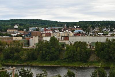
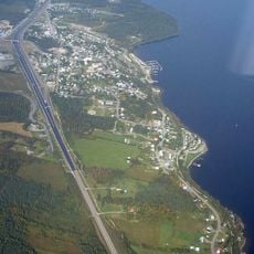
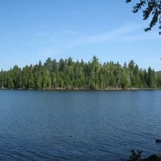
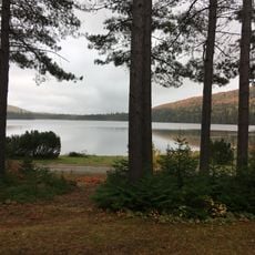
Madawaska is a town situated at Maine's northernmost edge, stretching along the Saint John River and serving as a border community with New Brunswick, Canada. The river divides the settlement from Edmundston across the way and shapes both the physical layout and daily rhythms of the place.
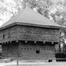
Territorial disputes between the United States and Britain over this region were resolved by the Webster-Ashburton Treaty of 1842, which fixed the current border between Maine and New Brunswick. This agreement ended decades of uncertainty about which country held sovereignty over the area.
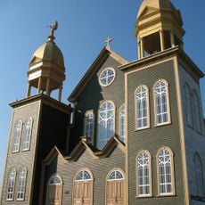
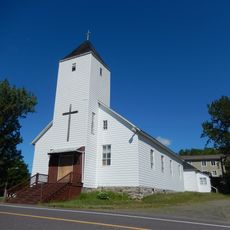
French-speaking Acadian people established roots here and their traditions remain visible in daily life through food, celebrations, and local customs that connect the community to their heritage. Walking through town, you notice the prevalence of French language and Acadian cultural practices that define the region.
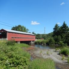
An international bridge spans the Saint John River, directly connecting the town to Edmundston in New Brunswick and making it easy to cross the border for a day visit. Keep in mind that crossing requires following customs procedures of both countries, and hours may vary depending on your destination.
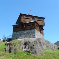
The former Republic of Madawaska once flew a flag showing an eagle surrounded by red stars, a symbol intended to represent unity among the different people living in this border region. This historical emblem reflects an interesting chapter when the area had its own short-lived political identity.
The community of curious travelers
AroundUs brings together thousands of curated places, local tips, and hidden gems, enriched daily by 60,000 contributors worldwide.