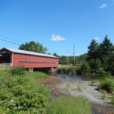
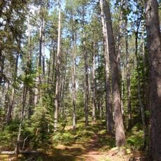
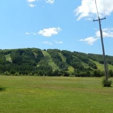
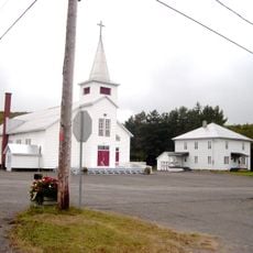
Lac-Témiscouata National Park, National park in Dégelis, Canada.
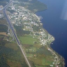
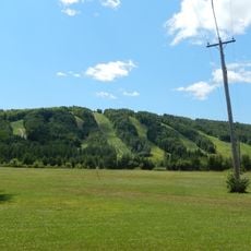
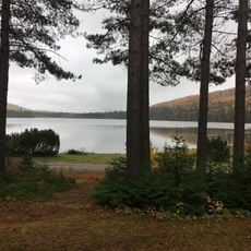
Lac-Témiscouata National Park is a 176.5 km² provincial park on the eastern shore of Lake Témiscouata in Quebec's Bas-Saint-Laurent region. Created in 2009, it is split into a 157.2 km² northeastern part (Squatec and Saint-Juste sectors) and an 18.1 km² southeastern part (Dégelis sector). The park borders 47.2 km of the lake's shoreline and contains 19 water bodies, including Grand lac Touladi and Lac Croche, plus the Touladi and Ashberish rivers. Its highest point is Montagne du Fourneau at 380 m.
Human occupation of this landscape extends back approximately 9,000 years as evidenced by numerous archaeological sites scattered throughout the park. A trading post was established on the lakeshore in the 1800s to support the growing colonial settlement in the region.
The park holds one of Quebec's densest concentrations of ancient Indigenous archaeological sites, some among the oldest in the province. The name Témiscouata comes from a Maliseet word meaning "very deep lake" or "lake with ripples." Grey Owl, the conservationist writer, lived on this land for nearly two years.
The park is split into four sectors; the main Squatec and Saint-Juste sectors lie northeast of Lake Témiscouata, while the smaller Dégelis sector is southeast. The Touladi River is canoeable, and a 23-hectare marsh sits in the northwest of Grand lac Touladi. Trails and water access are concentrated along the lake's eastern shore.
Near Lac Croche, water dissolves the limestone to form a karst landscape of sinkholes, a stream that disappears into the ground and a resurgence. The park also holds the trou des Perdus, a cave 250 m long, in rock ranging from Cambrian to Devonian age.
The community of curious travelers
AroundUs brings together thousands of curated places, local tips, and hidden gems, enriched daily by 95,303 contributors worldwide.