Allagash, human settlement in Aroostook County, Maine, United States of America
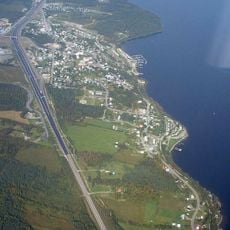
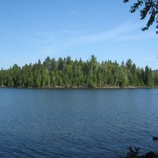
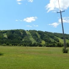
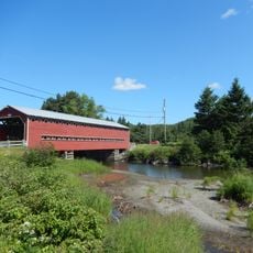
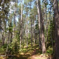
Allagash is a small town in northern Maine surrounded by extensive forests and the quiet Allagash River. The settlement features simple cabins and houses that blend into the landscape, with clear water and dense woodlands of spruce, fir, and birch trees that cover much of the area.
Allagash was founded in 1886 when a family from Western Maine traveled upriver by canoe and settled the area, gaining official town status in 1966. The region was long inhabited by the Maliseet and Penobscot peoples who used the river for travel and fishing before European settlers arrived in the 1800s.
The name Allagash comes from the river that flows through the area and has been central to the town's identity for generations. People here connect their daily lives to the forest and water, which shapes their work, craftsmanship, and the stories they pass down.
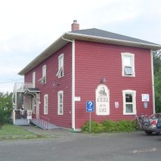
Allagash is very remote in northern Maine, so visitors should plan ahead, bring supplies and gear, and treat a visit as a multi-day adventure. Local outfitters provide cabin lodging and guide services for paddling, fishing, and forest exploration to help visitors navigate the area safely.
Louie's Antique Chain Saws is an unusual museum run by a local woodsman that houses hundreds of chainsaws spanning over a century of logging history. The collection has no fixed hours but welcomes visitors to explore this one-of-a-kind tribute to the tools that shaped the area's forestry work.
The community of curious travelers
AroundUs brings together thousands of curated places, local tips, and hidden gems, enriched daily by 60,000 contributors worldwide.