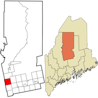
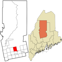
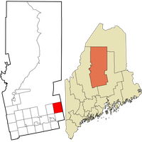
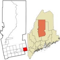
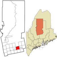
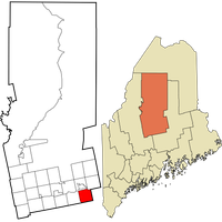
Piscataquis County, Administrative division in central Maine, United States.
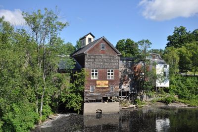
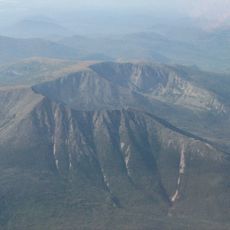
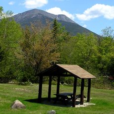
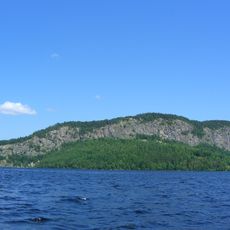
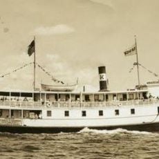
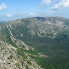
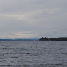
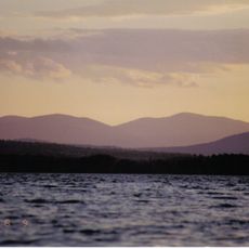
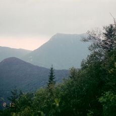
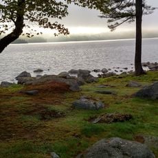
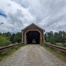
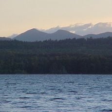
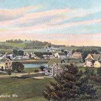
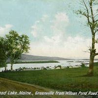
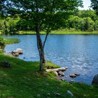
Piscataquis County is an administrative division in central Maine covering a large area of forests, lakes, and rivers. The landscape includes several significant water bodies, with Moosehead Lake being the largest within its boundaries.
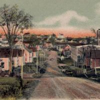
This place was established in 1838 through a reorganization of lands from neighboring counties as the region developed during the 1800s. This administrative change reflected growing settlement in central Maine during that period.
The name comes from the Abenaki language, meaning "branch of the river," connecting this place to the indigenous peoples who lived here first. You can still see this heritage reflected in local place names and the rivers that shape the land.
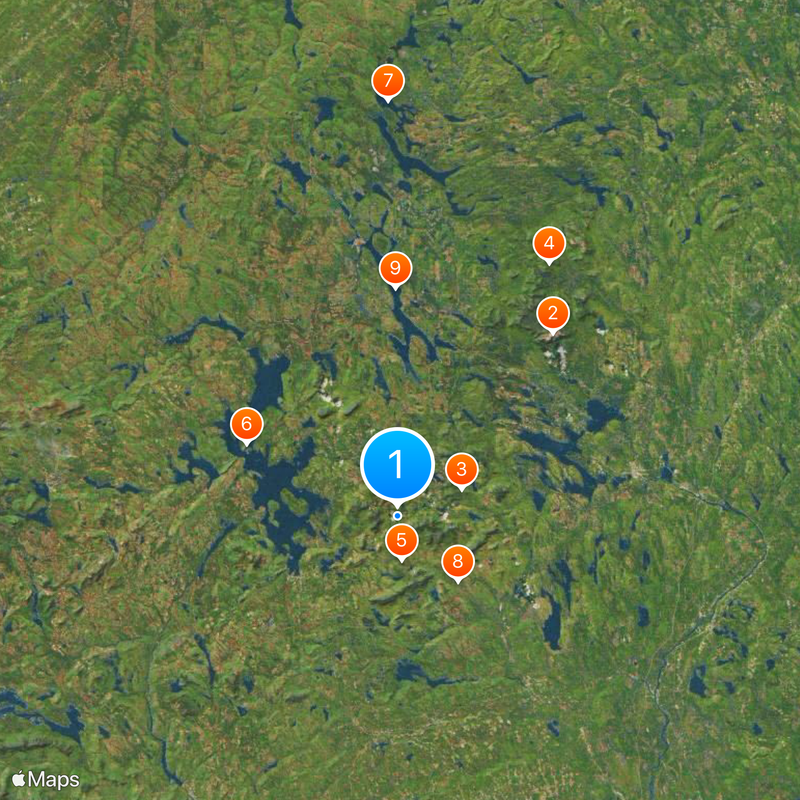
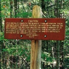
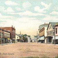
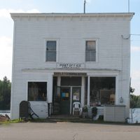
This is a sparsely populated area with few towns, so expect distances between settlements and plan travel time accordingly. Services and facilities are spread out across the region, so it helps to check what is available before heading out.
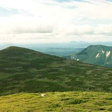
This is the least populated county in Maine with very few people per square mile, offering vast stretches of forests and wild land. Despite being so sparsely settled, it contains more forest area than many entire states.
The community of curious travelers
AroundUs brings together thousands of curated places, local tips, and hidden gems, enriched daily by 60,000 contributors worldwide.