Enable Location

We need your location to show you interesting places around you

Discover nearby places

Find interesting locations and hidden gems around you

Precise directions

Get accurate directions and distances to places

Your location is never shared with other users. It's only used when you tap the location button.

Dover-Foxcroft

Log in to your account

Start exploring — it's free

Trusted by 64,824 travelers worldwide

Continue with Google
Continue with Apple
or

We will send you a code to connect

By continuing, you accept our Terms and Conditions and our Privacy Policy

Check your inbox

We've sent a pincode in your inbox. Please enter the code below.

Discussion Reviews 2 Photos
18.7k Popularity

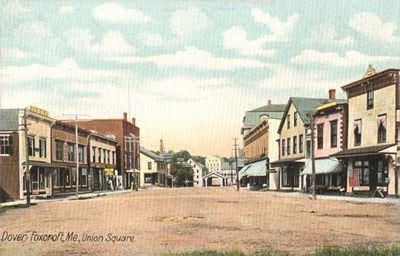
Dover-Foxcroft, town in and county seat of Piscataquis County, Maine, United States

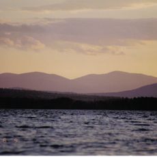
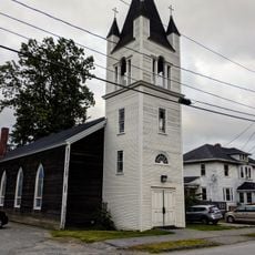
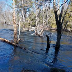
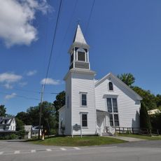
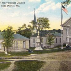
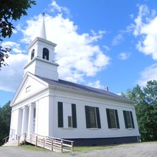
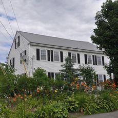
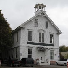
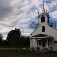
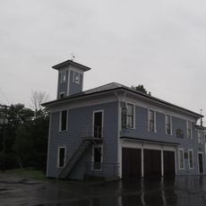
Dover-Foxcroft is the county seat of Piscataquis County in Maine, located along the Piscataquis River that flows gently through the area. The town features old buildings with simple designs from various periods, small shops, and quiet streets that shape daily life.

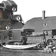
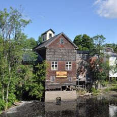
The first settlers arrived in 1799, establishing farms and building homes in the area. By the mid-1800s, water-powered mills that cut wood and ground grain drove economic growth, drawing more people to the developing community.

The name Dover-Foxcroft combines two historic settlements, and residents maintain local traditions through festivals and markets held throughout the year. The community gathers regularly to celebrate regional crafts and foods, reflecting a way of life centered on shared customs and neighborhood connections.

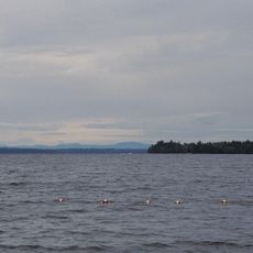
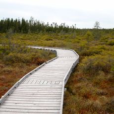
The area is surrounded by forests, lakes, and rivers offering hiking, fishing, and canoeing opportunities, especially during warmer months. Lodging options range from cozy bed and breakfasts in old homes to campsites near nature, with restaurants serving simple to hearty meals.

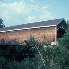
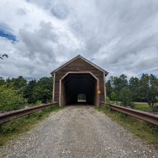
Low's Covered Bridge was built in 1830 and remains one of Maine's rare surviving examples of this structure type, having been repaired several times after flooding. Visitors walk across the wooden structure and often photograph it as a symbol of local heritage.

The community of curious travelers

AroundUs brings together thousands of curated places, local tips, and hidden gems, enriched daily by 60,000 contributors worldwide.

Start exploring
Elevation above the sea
113 m
GPS coordinates
45.18611,-69.22028
Latest update
February 16, 2026 23:20
Around this place
Hundred-Mile Wilderness
United States of America

Hundred-Mile Wilderness

48 km
Gulf Hagas
United States of America

Gulf Hagas

34.1 km
Katahdin Iron Works
United States of America

Katahdin Iron Works

29 km
Katahdin
United States of America

Katahdin

44.5 km
Lily Bay State Park
United States of America

Lily Bay State Park

49.9 km
White Cap Mountain
United States of America

White Cap Mountain

41.1 km
St. Anne's Church and Mission Site
United States of America

St. Anne's Church and Mission Site

52.2 km
Robyville Bridge
United States of America

Robyville Bridge

33.5 km
American Woolen Company Foxcroft Mill
United States of America

American Woolen Company Foxcroft Mill

868 m
Lowes Bridge
United States of America

Lowes Bridge

7.5 km
Saddleback Mountain
United States of America

Saddleback Mountain

36.6 km
Orono Bog
United States of America

Orono Bog

52.5 km
Center Theatre
United States of America

Center Theatre

726 m
Hirundo Wildlife Refuge
United States of America

Hirundo Wildlife Refuge

40.7 km
Former Free Will Baptist Church
United States of America

Former Free Will Baptist Church

19.9 km
Abbott Memorial Library
United States of America

Abbott Memorial Library

18.8 km
Swedish Lutheran Church
United States of America

Swedish Lutheran Church

24.8 km
Pittsfield Public Library
United States of America

Pittsfield Public Library

46.8 km
Stewart Free Library
United States of America

Stewart Free Library

29.7 km
United States of America

Chandler-Parsons Blacksmith Shop

3.5 km
Stetson Union Church
United States of America

Stetson Union Church

33.3 km
James Sullivan Wiley House
United States of America

James Sullivan Wiley House

483 m
Guilford Memorial Library
United States of America

Guilford Memorial Library

12.9 km
Milo Public Library
United States of America

Milo Public Library

20.2 km
Robert Carleton House
United States of America

Robert Carleton House

11 km
Corinth Town Hall and Corinthian Lodge No. 59, I.O.O.F.
United States of America

Corinth Town Hall and Corinthian Lodge No. 59, I.O.O.F.

25.7 km
District No. 2 School
United States of America

District No. 2 School

47.6 km
Monson Engine House
United States of America

Monson Engine House

24.6 km
Show the full map
Reviews
Share your experience

No review yet

Discussions
Start a discussion...

No discussion yet

« Dover-Foxcroft - town in and county seat of Piscataquis County, Maine, United States » is provided by Around Us (aroundus.com). Images and texts are derived from Wikimedia project under a Creative Commons license. You are allowed to copy, distribute, and modify copies of this page, under the conditions set by the license, as long as this note is clearly visible.

Discover hidden gems everywhere you go!

From secret cafés to breathtaking viewpoints, skip the crowded tourist spots and find places that match your style. Our app makes it easy with voice search, smart filtering, route optimization, and insider tips from travelers worldwide. Download now for the complete mobile experience.

Around Us App Screenshot

A unique approach to discovering new places

Le Figaro

All the places worth exploring

France Info

A tailor-made excursion in just a few clicks

20 Minutes

Around Us
Travel Guide & Maps
Download

Send to your phone

QR Code
1

Open the camera app on your mobile.

2

Point at the QR code with your camera. A notification will appear.

3

Tap the notification to open the link.